Old Maps of Forest Lake, Chinle Agency
Explore 11 old maps of Forest Lake, spanning from 1883 to today. These high-resolution historic maps reveal how streets, neighborhoods, landmarks, and natural features evolved over time — perfect for genealogy, metal detecting, research, and local history exploration.
What you can do with these maps:
- See how Forest Lake changed over time: Compare historical maps to modern-day views to trace roads, homesites, rail lines & more.
- View detailed metadata: Each map includes creators, publishers, year, scale, and archive source.
- Overlay maps with satellite & LiDAR: Visualize the past alongside modern tools to explore terrain & human change.
- Trusted historical sources: Maps sourced from the USGS, Library of Congress, and other archives.
- Access maps your way: View online, download high-res files, or order prints for personal or research use.
Start exploring old maps of Forest Lake to uncover forgotten places, hidden landmarks, and the deep history beneath your feet.
Forest Lake, Chinle Agency maps
(11)- 1883 Map of Marsh Pass
 1883 Marsh Pass1883 Print · USGSNortheastern Arizona was a complex labyrinth of mesas and canyons when this survey was conducted in the early 1880s. Researchers can locate critical desert water sources like Na-pai-bi-to Spring Lake and landmarks like Aga-thla Needle.
 - 1892 Map of Marsh Pass
 1892 Marsh Pass1892 Print · USGSNortheastern Arizona and the Navajo lands are shown in the late nineteenth century as a series of immense mesas and critical water sources. You can trace early trails through Marsh Pass and locate remote landmarks like the Agathla Needle or Chil-Chi-Vi-To Spring.4 unique versions available
 - 1956 Map of Marble Canyon, 1964 Print
 1956 Marble Canyon1964 Print · USGSNorthern Arizona and the borderlands of Utah are mapped here in the mid-fifties, showing a landscape defined by traditional trading posts and early uranium mining. Trace old routes between Tuba City and Kayenta, and locate historic sites like Lees Ferry and Inscription House Trading Post.4 unique versions available
 - 1959 Map of Marble Canyon
 1959 Marble Canyon1959 Print · USGSNorthern Arizona in the late fifties is a vast landscape of tribal lands and desert plateaus defined by the carving of the Colorado River. Trace family roots and regional history at Tuba City, the Chilchinbito Trading Post, or the ancient Inscription House Ruin.
 - 1961 Map of Marble Canyon
 1961 Marble Canyon1961 Print · USGSThe northern Arizona desert in the early sixties reveals a landscape of tribal lands and canyon crossings. Trace the old river life at Lees Ferry, find the Uranium mill at Tuba City, and locate the iconic Elephant Feet landmarks.
 - 1968 Map of Red Slide Peak, 1972 Print
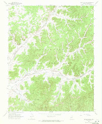 1968 Red Slide Peak1972 Print · USGSThe Navajo Nation and Hopi tribal lands are mapped here in the late sixties, showcasing a landscape of seasonal washes and vital water improvements. Researchers can locate remote landmarks like Forest Lake Chapter House, Reed Windmill, and the prominent Red Slide Peak.
 - 1983 Map of Pinon
 1983 Pinon1983 Print · USGSThe Navajo and Hopi heartlands are shown in detail during the early eighties, capturing the intricate topography of the high mesas. Researchers can locate remote settlements like Pinon and Red Lake, while tracing ancient landmarks such as White Mesa and numerous Ruin sites.2 unique versions available
 - 2011 Map of Red Slide Peak, 2011 Print
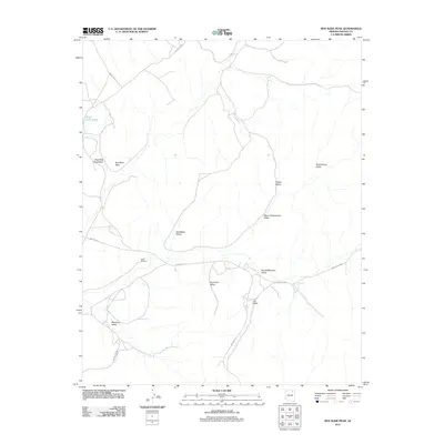 2011 Red Slide Peak2011 Print · USGSNavajo County and the Chinle Agency are documented here at the start of the decade, showing the vast valley systems of the high desert. Researchers can trace remote routes like Indian Rte 41 to landmarks such as Reed Windmill and Red Slide Peak.
 - 2014 Map of Red Slide Peak, 2014 Print
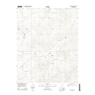 2014 Red Slide Peak2014 Print · USGSThe Navajo Nation high country is captured here in the early twenty-first century, showing a landscape defined by traditional land use and deep-cut valleys. Researchers can trace the drainage patterns and access routes like BIA-41 between Red Slide Peak and Toh Ne Zhonnie Valley.
 - 2018 Map of Red Slide Peak, 2018 Print
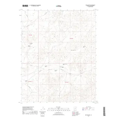 2018 Red Slide Peak2018 Print · USGSThe high desert of Navajo County is captured here in the late twenty-teens, revealing a complex landscape of named valleys and traditional routes. Researchers can trace the geography of the Chinle Agency through landmarks like Red Slide Peak, Many Greasewood Valley, and Dinnebito Wash.
 - 2021 Map of Red Slide Peak, 2021 Print
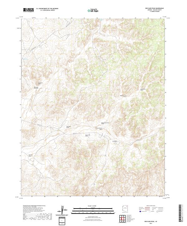 2021 Red Slide Peak2021 Print · USGSNavajo County's high-desert landscape is captured here in the early twenty-first century, showing a region defined by its traditional grazing valleys and seasonal washes. Researchers can trace historic travel corridors like Indian Rte 41 as they wind past Red Slide Peak and through the Many Greasewood Valley.
End of results
Showing maps 1-11 of 11
Top cities near Forest Lake
Frequently asked questions
- What are the different types of historical maps available for Forest Lake?
- What is the oldest map of Forest Lake?
- Where can I purchase historical maps of Forest Lake for my home or office?
- Where can I download high-res historical maps of Forest Lake?
- Are there historical topographic maps available for Forest Lake?
- Is there historical aerial imagery available for Forest Lake?
- Where are historical maps of Forest Lake sourced from?