Old Maps of Fort Thomas, Arizona
Explore 12 old maps of Fort Thomas, spanning from 1954 to today. These high-resolution historic maps reveal how streets, neighborhoods, landmarks, and natural features evolved over time — perfect for genealogy, metal detecting, research, and local history exploration.
What you can do with these maps:
- See how Fort Thomas changed over time: Compare historical maps to modern-day views to trace roads, homesites, rail lines & more.
- View detailed metadata: Each map includes creators, publishers, year, scale, and archive source.
- Overlay maps with satellite & LiDAR: Visualize the past alongside modern tools to explore terrain & human change.
- Trusted historical sources: Maps sourced from the USGS, Library of Congress, and other archives.
- Access maps your way: View online, download high-res files, or order prints for personal or research use.
Start exploring old maps of Fort Thomas to uncover forgotten places, hidden landmarks, and the deep history beneath your feet.
Fort Thomas, AZ maps
(12)- 1954 Map of Clifton, 1968 Print
 1954 Clifton1968 Print · USGSThe high timber and copper country of the Arizona-New Mexico border is captured here during the mid-fifties. Genealogists and historians can trace family holdings like the Double Circle Ranch or study the industrial footprint of the Smelting Plant at Clifton.3 unique versions available
 - 1957 Map of Clifton
 1957 Clifton1957 Print · USGSThe copper-mining district around Clifton and Morenci meets the high timberlands of the Mogollon Rim during the mid-1950s. Genealogists and researchers can trace family-named outposts and remote mountain settlements like Reserve, Stargo, and Fort Thomas.
 - 1958 Map of Clifton
 1958 Clifton1958 Print · USGSThe rugged high country of the Arizona-New Mexico border comes into focus in the mid-fifties, showing a landscape of mining camps and forest outposts. Genealogists and researchers can trace old settlements and remote sites like Mogollon, East Fork Mission, and the Tidwell Mine.
 - 1960 Map of Fort Thomas, 1961 Print
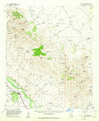 1960 Fort Thomas1961 Print · USGSGraham County ranching and rail infrastructure are on full display in the early sixties. Researchers can trace family history through the Fort Thomas Cem and McEuen Cem or locate old outposts like Slaughter Camp and the Day Mine Windmill.2 unique versions available
 - 1962 Map of Clifton
 1962 Clifton1962 Print · USGSThe copper-rich Arizona-New Mexico borderlands come into focus in the early sixties, centered on the mining complexes of Morenci and Clifton. Researchers can trace the Southern Pacific rail lines and locate remote outposts like Honeymoon and the Double Circle Ranch.
 - 1986 Map of Clifton, 1987 Print
 1986 Clifton1987 Print · USGSArizona's copper country and the rugged borderlands come into sharp focus in the mid-1980s. Researchers can trace the massive Morenci Open Pit and its rail connections to Clifton, alongside remote outposts like Point of Pines and Fort Thomas.2 unique versions available
 - 1989 Map of Fort Thomas, 1990 Print
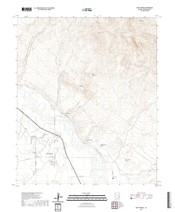
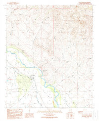 1989 Fort Thomas1990 Print · USGSArizona's Gila Valley is shown here in the late eighties, centered on the settlement of Fort Thomas and its critical irrigation network. Researchers can trace the paths of the Fort Thomas Canal and locate family-named landmarks like Charley Thompson Springs and Teague Spring.
 - 2011 Map of Fort Thomas, 2011 Print
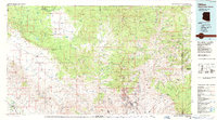
 2011 Fort Thomas2011 Print · USGSCovers Fort Thomas, including Graham County, United States, and other nearby areas
 - 2014 Map of Fort Thomas, 2014 Print
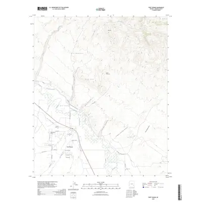
 2014 Fort Thomas2014 Print · USGSCovers Fort Thomas, including Graham County, United States, and other nearby areas
 - 2018 Map of Fort Thomas, 2018 Print
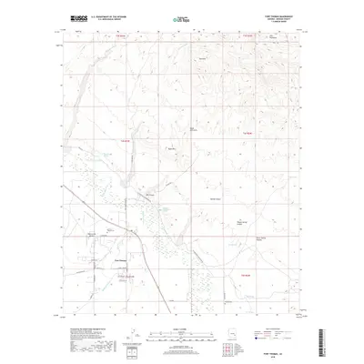 2018 Fort Thomas2018 Print · USGSCovers Fort Thomas, including Graham County, United States, and other nearby areas
 - 2021 Map of Fort Thomas, 2021 Print
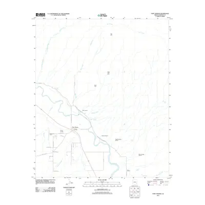
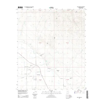
 2021 Fort Thomas2021 Print · USGSFort Thomas and its surrounding valley are documented here in recent years, showing the intersection of Gila River agriculture and mountain terrain. Genealogists can locate family landmarks like the Old Fort Thomas Cem, McEuen Cem, and Charley Thompson Springs.
 - 2026 Map of Fort Thomas, 2026 Print
 2026 Fort Thomas2026 Print · USGSCovers Fort Thomas, including Graham County, United States, and other nearby areas
End of results
Showing maps 1-12 of 12
Top cities near Fort Thomas
Frequently asked questions
- What are the different types of historical maps available for Fort Thomas?
- What is the oldest map of Fort Thomas?
- Where can I purchase historical maps of Fort Thomas for my home or office?
- Where can I download high-res historical maps of Fort Thomas?
- Are there historical topographic maps available for Fort Thomas?
- Is there historical aerial imagery available for Fort Thomas?
- Where are historical maps of Fort Thomas sourced from?