Old Maps of Verde Real, Phoenix
Explore 13 old maps of Verde Real, spanning from 1954 to today. These high-resolution historic maps reveal how streets, neighborhoods, landmarks, and natural features evolved over time — perfect for genealogy, metal detecting, research, and local history exploration.
What you can do with these maps:
- See how Verde Real changed over time: Compare historical maps to modern-day views to trace roads, homesites, rail lines & more.
- View detailed metadata: Each map includes creators, publishers, year, scale, and archive source.
- Overlay maps with satellite & LiDAR: Visualize the past alongside modern tools to explore terrain & human change.
- Trusted historical sources: Maps sourced from the USGS, Library of Congress, and other archives.
- Access maps your way: View online, download high-res files, or order prints for personal or research use.
Start exploring old maps of Verde Real to uncover forgotten places, hidden landmarks, and the deep history beneath your feet.
Verde Real, Phoenix maps
(13)- 1954 Map of Phoenix, 1964 Print
 1954 Phoenix1964 Print · USGSMid-century Arizona is captured here as the Phoenix metropolitan area begins its rapid expansion into the surrounding desert. Genealogists and historians can trace the development of agricultural hubs like Buckeye and Tolleson, or locate remote landmarks like the Vulture Mine and Nottbusch Cem.5 unique versions available
 - 1957 Map of Phoenix
 1957 Phoenix1957 Print · USGSGreater Phoenix and the central Arizona desert during the mid-fifties reveal a landscape of growing suburbs and active desert mines. Researchers can trace the legacy of local landmarks like Wickenburg Prison, the Vulture Mine, and the Tonopah Post Office.
 - 1957 Map of Hedgpeth Hills, 1958 Print
 1957 Hedgpeth Hills1958 Print · USGSNorth of Glendale in the late fifties, this landscape shows the desert floor before total suburbanization. Genealogists and historians can trace the early irrigation and road networks around Sierra Vista School, the Arizona Canal, and Thunderbird Park.5 unique versions available
 - 1958 Map of Phoenix
 1958 Phoenix1958 Print · USGSThe Phoenix Valley enters a period of postwar expansion, where desert irrigation meets massive military aviation footprints. Trace the development of Phoenix and Glendale alongside the legendary Vulture Mine and the auxiliary runways of Luke Air Force Base.
 - 1960 Map of Phoenix
 1960 Phoenix1960 Print · USGSCentral Arizona in the mid-fifties reveals a landscape of rapid suburban growth alongside enduring desert mining and ranching. Genealogists and historians can trace rail-side settlements like Vicksburg Junction and Waddell, or locate the Vulture Mine and early sites like Agua Fria School.
 - 1969 Map of Phoenix, 1970 Print
 1969 Phoenix1970 Print · USGSCentral Arizona is seen at a technological turning point in the late sixties, using Apollo 9 space photography to map the desert landscape. Researchers can trace the growth of Sun City, locate old workings at Vulture Mine, and follow the Gila River past Buckeye.2 unique versions available
 - 1971 Map of Phoenix
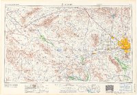 1971 Phoenix1971 Print · USGSCentral Arizona at the start of the seventies shows a desert metropolis expanding toward the Sun Valley retirement boom. Trace the growth of Sun City and Glendale, or locate remote historic sites like the Vulture Gold Mine and Nottbusch Cemetery.
 - 1971 Map of Hedgpeth Hills, 1972 Print
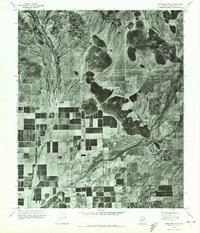 1971 Hedgpeth Hills1972 Print · USGSMaricopa County is captured during its early 1970s agricultural expansion in this aerial orthophoto. Researchers can trace the development of irrigation grids and rural land use between Pyramid Pk and the Hedgpeth Hills.
 - 1988 Map of Phoenix North, 1989 Print
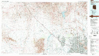 1988 Phoenix North1989 Print · USGSNorth of Phoenix in the late eighties, the desert landscape transitions from the mining heritage of Wickenburg to the burgeoning suburbs of the valley. Trace the paths of the Atchison Topeka and Santa Fe Railway or locate old operations like the Vulture Mine.2 unique versions available
 - 2011 Map of Hedgpeth Hills, 2011 Print
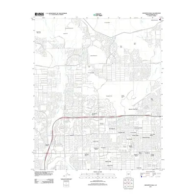 2011 Hedgpeth Hills2011 Print · USGSNorthern Phoenix at the start of the decade shows a landscape where master-planned suburban growth meets desert peaks. Researchers can trace the development of Arrowhead Ranch and Midwestern University, or locate local landmarks like McGills Ultralight Field.
 - 2014 Map of Hedgpeth Hills, 2014 Print
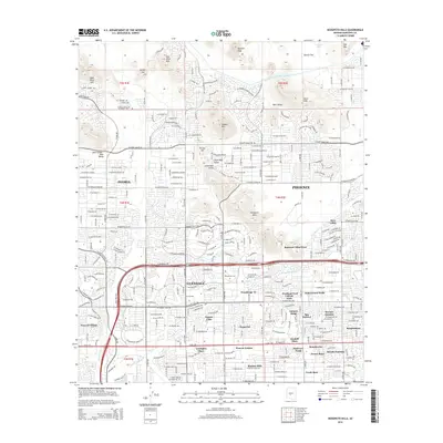 2014 Hedgpeth Hills2014 Print · USGSThe northern reaches of the Salt River Valley were transforming rapidly as the new millennium progressed. Researchers can trace the layout of residential developments like Peacock Village and Amberwood North alongside landmarks like Midwestern Univ and the Hedgpeth Hills.
 - 2018 Map of Hedgpeth Hills, 2018 Print
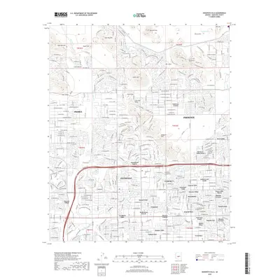 2018 Hedgpeth Hills2018 Print · USGSThe northern suburbs of the Valley of the Sun are captured here during a period of significant residential expansion. Local historians can trace the development of Arrowhead Ranch and Deer Valley alongside landmarks like Midwestern Univ and the Central Arizona Project Aqueduct.
 - 2021 Map of Hedgpeth Hills, 2021 Print
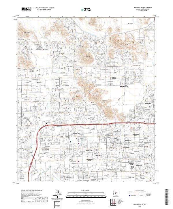 2021 Hedgpeth Hills2021 Print · USGSMaricopa County during its twenty-first-century expansion shows a complex landscape of master-planned communities and desert peaks. Trace the growth of Glendale and Peoria near landmarks like Arrowhead Ranch and the Midwestern University campus.
End of results
Showing maps 1-13 of 13
Frequently asked questions
- What are the different types of historical maps available for Verde Real?
- What is the oldest map of Verde Real?
- Where can I purchase historical maps of Verde Real for my home or office?
- Where can I download high-res historical maps of Verde Real?
- Are there historical topographic maps available for Verde Real?
- Is there historical aerial imagery available for Verde Real?
- Where are historical maps of Verde Real sourced from?