2000s (21st Century) Maps of Troon, Scottsdale
Explore 5 historic maps of Troon from the 2000s (21st Century). These maps offer a rare glimpse into what life looked like during the 2000s — showing old roads, neighborhoods, homes, and landmarks that have changed or disappeared over time.
Whether you're researching your family's past, planning a metal detecting trip, or studying how Troon's landscape evolved across the 2000s, these high-resolution maps are a powerful tool for exploring the history of this region.
- Focus on a specific era: All maps on this page are from the 2000s, giving you a focused view of this time period.
- See what’s changed: Compare century-old streets, trails, and buildings to today's modern landscape using overlays and satellite layers.
- Research with precision: Use these maps for genealogy, historical research, land use analysis, or educational projects.
- View, download, or print: Maps are fully viewable online in high resolution, and can be downloaded or printed for your own records.
Start exploring Troon's history through authentic maps from the 2000s. This is your window into the past.
Troon, Scottsdale maps
(5)- 2004 Map of McDowell Peak, 2007 Print
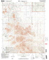 2004 McDowell Peak2007 Print · USGSThe McDowell Mountains and Scottsdale foothills are captured here during a period of rapid development and recreational expansion. You can trace the proximity of newer sites like the Arabian Library to older landmarks such as Dixie Mine and Reata Pass.
 - 2011 Map of McDowell Peak, 2011 Print
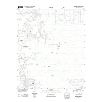 2011 McDowell Peak2011 Print · USGSCovers Troon, including Scottsdale, Fountain Hills, and other nearby areas
 - 2014 Map of McDowell Peak, 2014 Print
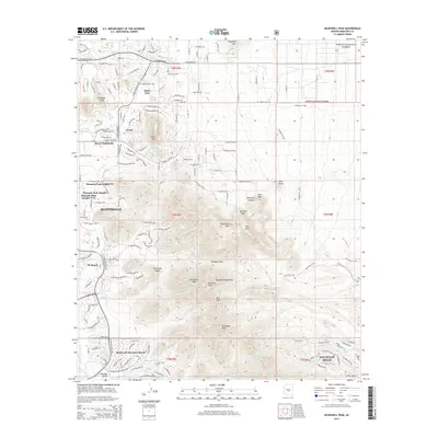 2014 McDowell Peak2014 Print · USGSCovers Troon, including Scottsdale, Fountain Hills, and other nearby areas
 - 2018 Map of McDowell Peak, 2018 Print
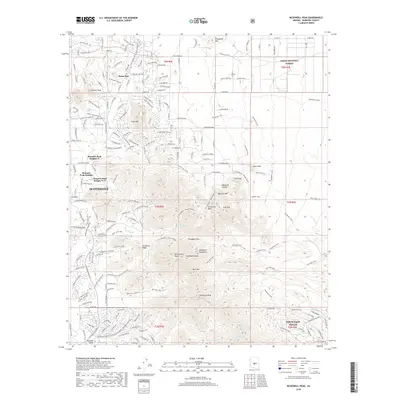 2018 McDowell Peak2018 Print · USGSCovers Troon, including Scottsdale, Fountain Hills, and other nearby areas
 - 2021 Map of McDowell Peak, 2021 Print
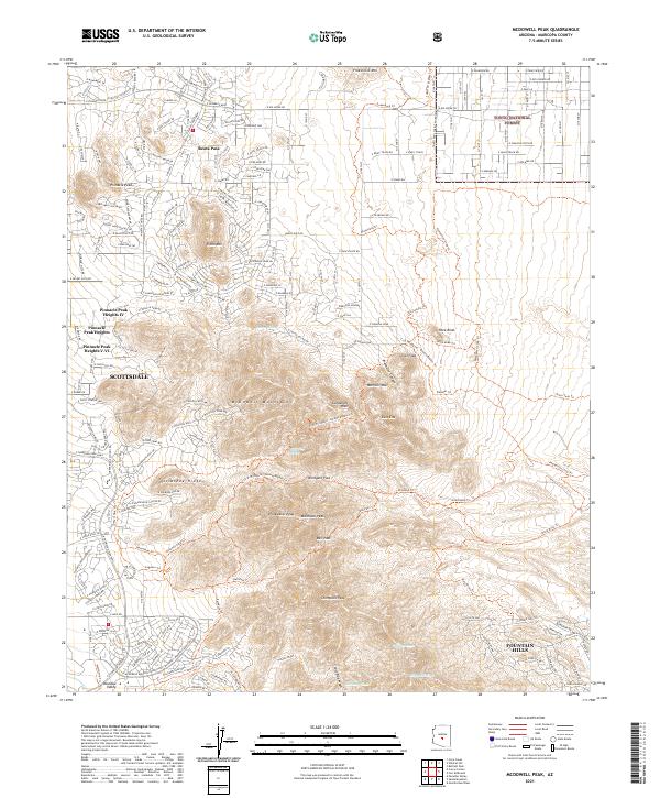 2021 McDowell Peak2021 Print · USGSThe McDowell Mountains stand as a preserved wilderness between the growing desert communities of Scottsdale and Fountain Hills in the early 2020s. Hikers and historians can trace the paths of the Dixie Mine Trl, find the summit of Thompson Peak, or locate the historic Reata Pass.
End of results
Showing maps 1-5 of 5
Frequently asked questions
- What are the different types of historical maps available for Troon?
- What is the oldest map of Troon?
- Where can I purchase historical maps of Troon for my home or office?
- Where can I download high-res historical maps of Troon?
- Are there historical topographic maps available for Troon?
- Is there historical aerial imagery available for Troon?
- Where are historical maps of Troon sourced from?