Old Maps of Bullhead City, Arizona
Explore 38 old maps of Bullhead City, spanning from 1886 to today. These high-resolution historic maps reveal how streets, neighborhoods, landmarks, and natural features evolved over time — perfect for genealogy, metal detecting, research, and local history exploration.
What you can do with these maps:
- See how Bullhead City changed over time: Compare historical maps to modern-day views to trace roads, homesites, rail lines & more.
- View detailed metadata: Each map includes creators, publishers, year, scale, and archive source.
- Overlay maps with satellite & LiDAR: Visualize the past alongside modern tools to explore terrain & human change.
- Trusted historical sources: Maps sourced from the USGS, Library of Congress, and other archives.
- Access maps your way: View online, download high-res files, or order prints for personal or research use.
Start exploring old maps of Bullhead City to uncover forgotten places, hidden landmarks, and the deep history beneath your feet.
Bullhead City, AZ maps
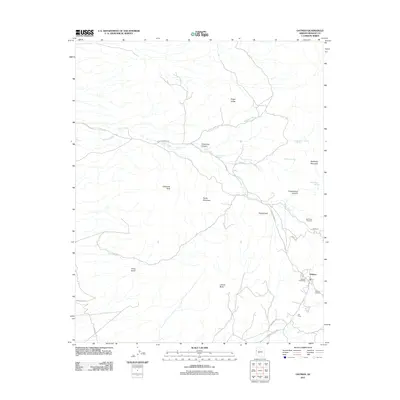
(38)- 1886 Map of Camp Mohave
 1886 Camp Mohave1886 Print · USGSThe Colorado River and the Cerbat mining districts define this territory during the mid-1880s. Genealogists and historians can trace the early rail stops at Kingman and Beale, or find the locations of frontier mining camps like Chloride and Mineral Park.
 - 1892 Map of Camp Mohave
 1892 Camp Mohave1892 Print · USGSThe Colorado River frontier in the 1890s reveals a network of isolated mining camps and military outposts. Trace the early river-crossing economy and mining boomtowns through Eldorado Ferry, the Patterson Mine, and the military station at Camp Mohave.8 unique versions available
 - 1926 Map of Mohave City
 1926 Mohave City1926 Print · USGSThe Colorado River borderlands in the mid-twenties reveal a landscape of mining claims and early desert ranching before the era of modern dams. Researchers can trace the Arrowhead Trail south from Searchlight and locate family landmarks like the D Hutton Ranch or the Piute mine.
 - 1942 Map of Camp Mohave
 1942 Camp Mohave1942 Print · USGSThe tri-state borderlands of Nevada, Arizona, and California are captured here in the early 1940s, highlighting a landscape of deep canyons and high-desert mining camps. Researchers can trace historic rail lines and find remote outposts like Searchlight, Nelson, and the riverfront Fort Mohave Indian Reservation.
 - 1947 Map of Kingman, 1948 Print
 1947 Kingman1948 Print · USGSThe tri-state Mojave desert region comes into focus during the late 1940s, as post-war travel began to surge along U S 66. Genealogists and historians can trace the mining-and-rail economy through the Atchison Topeka and Santa Fe line, the Copper World Mine, and old settlements like Oatman or Goodsprings.2 unique versions available
 - 1948 Map of Kingman
 1948 Kingman1948 Print · USGSThe Mojave Desert at the dawn of the fifties shows a landscape of deep canyons and booming mines along the Arizona and Nevada border. Genealogists and historians can trace rail-stop towns and mining claims like Oatman, Searchlight, and the Mohawk Mine.
 - 1950 Map of Davis Dam, 1955 Print
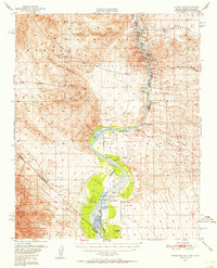 1950 Davis Dam1955 Print · USGSThe Colorado River corridor was undergoing a massive transformation in the early fifties as the newly completed Davis Dam began reshaping the tri-state border. Researchers can trace vanished river landings and frontier outposts such as the Hardyville Site, Mohave City, and the Fort Mohave Ruins.2 unique versions available
 - 1952 Map of Davis Dam
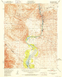 1952 Davis Dam1952 Print · USGSThe Colorado River valley emerges in a period of significant change during the early fifties, as modern infrastructure meets pioneer history. Genealogists and historians can trace family-named locations such as Hardyville Ranch alongside significant landmarks like Fort Mohave (Ruins) and Bullhead City.2 unique versions available
 - 1954 Map of Kingman, 1964 Print
 1954 Kingman1964 Print · USGSThe High Desert borderlands come to life in the mid-fifties, showing the intersection of mining legacies and massive river projects. Researchers can trace old rail stops like Roach Station, mining sites such as Chloride, and river landmarks like Searchlight Ferry.4 unique versions available
 - 1955 Map of Kingman
 1955 Kingman1955 Print · USGSThe Mojave Desert and Colorado River corridor come alive in the mid-fifties, showing a landscape of mining camps and rail junctions. Trace the river to the Searchlight Ferry or locate old desert mining sites like Goldroad and the Great Monster Mine.
 - 1958 Map of Kingman
 1958 Kingman1958 Print · USGSThe tri-state desert borders of Arizona, Nevada, and California are shown in the late fifties as a network of mining camps and river crossings. Genealogists and historians can trace the legacy of remote outposts like Oatman, Chloride, and the Searchlight Ferry along the Colorado River.2 unique versions available
 - 1960 Map of Kingman
 1960 Kingman1960 Print · USGSThe high desert landscape of the Arizona-Nevada border comes alive in the mid-twentieth century, showcasing the rise of recreation alongside deep-rooted mining history. Genealogists and historians can trace the roots of towns like Kingman and Oatman, or locate remote sites like the Lucky Dutchman Mine and Santa Claus.3 unique versions available
 - 1967 Map of Union Pass, 1969 Print
 1967 Union Pass1969 Print · USGSThe Black Mountains and their historic desert corridors are captured here in the late 1960s. Prospectors and local historians can trace the paths to mining sites like the Tyro Mine and Arabian Mine, or locate vital water at Secret Pass Spring.3 unique versions available
 - 1967 Map of Oatman, 1969 Print
 1967 Oatman1969 Print · USGSMining operations in the Black Mountains reached a distinct phase by the late 1960s, centering on the high-desert outpost of Oatman. Researchers can trace the legacy of gold extraction through the Tom Reed Mine, the former Goldroad (Site), and the Cem.4 unique versions available
 - 1970 Map of Mt. Manchester, 1973 Print
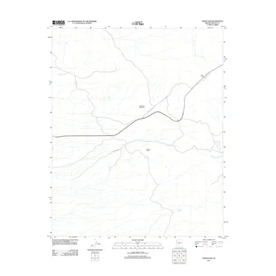
 1970 Mt. Manchester1973 Print · USGSThe tri-state border region along the Colorado River is captured here as it appeared in the early 1970s. Researchers can trace the Von Schmidt Line, locate the Riviera settlement, and find historical Petroglyphs in the desert mountains.3 unique versions available
 - 1970 Map of Davis Dam SE, 1973 Print
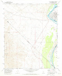
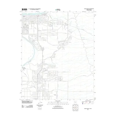
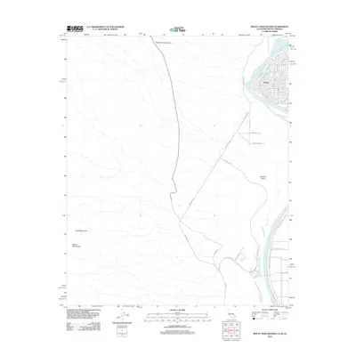
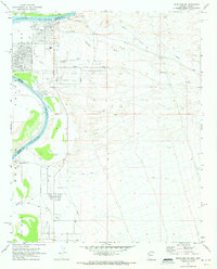 1970 Davis Dam SE1973 Print · USGSThe Colorado River shoreline in the early seventies shows the growing desert communities of Bullhead City and Riviera as they expanded eastward. Genealogists and historians can locate the Hardyville Mill (Ruins) and burial sites like Cem Grave within the Fort Mohave Indian Reservation.5 unique versions available
 - 1970 Map of Davis Dam, 1973 Print
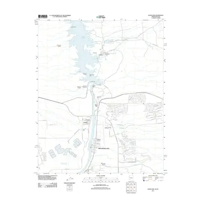
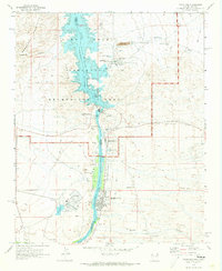 1970 Davis Dam1973 Print · USGSThe Colorado River corridor underwent significant change around 1970 as industrial energy and desert tourism met at the Nevada border. Researchers can trace the industrial footprint of the Mohave Generating Station and local history at Katherine Mine or Laughlin.3 unique versions available
 - 1982 Map of Davis Dam, 1983 Print
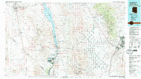 1982 Davis Dam1983 Print · USGSThe Colorado River corridor and the Tri-State area come into focus in the early eighties, showing the growth of Bullhead City and Laughlin near the Davis Dam. Researchers can trace extensive mining operations like the Searchlight Mine or follow the Atchison Topeka and Santa Fe rail line into Kingman.2 unique versions available
 - 2011 Map of Oatman, 2011 Print
 2011 Oatman2011 Print · USGSCovers Bullhead City, including Oatman, Mohave County, and other nearby areas
 - 2011 Map of Davis Dam SE, 2011 Print
 2011 Davis Dam SE2011 Print · USGSCovers Bullhead City, including Fort Mohave, Clark County, and other nearby areas
 - 2011 Map of Davis Dam, 2011 Print
 2011 Davis Dam2011 Print · USGSCovers Bullhead City, including Laughlin, Katherine, and other nearby areas
 - 2011 Map of Union Pass, 2011 Print
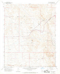
 2011 Union Pass2011 Print · USGSCovers Bullhead City, including Mohave County, United States, and other nearby areas
 - 2012 Map of Mount Manchester, 2012 Print
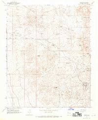
 2012 Mount Manchester2012 Print · USGSCovers Bullhead City, including San Bernardino County, Clark County, and other nearby areas
 - 2014 Map of Union Pass, 2014 Print
 2014 Union Pass2014 Print · USGSCovers Bullhead City, including Mohave County, United States, and other nearby areas
 - 2014 Map of Davis Dam SE, 2014 Print
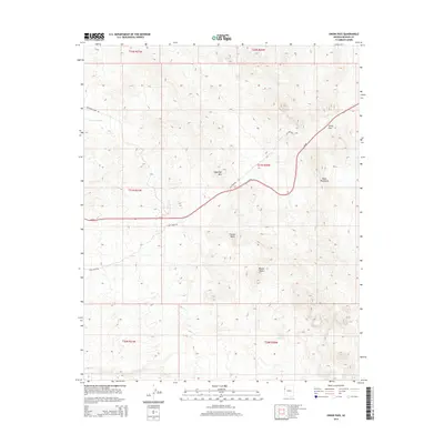
 2014 Davis Dam SE2014 Print · USGSCovers Bullhead City, including Fort Mohave, Clark County, and other nearby areas
Showing maps 1-25 of 38
Top cities near Bullhead City
- Fort Mohave historical maps
- Laughlin historical maps
- Needles historical maps
- Mohave Valley historical maps
- Willow Valley historical maps
- Mesquite Creek historical maps
See more
Top neighborhoods of Bullhead City
Frequently asked questions
- What are the different types of historical maps available for Bullhead City?
- What is the oldest map of Bullhead City?
- Where can I purchase historical maps of Bullhead City for my home or office?
- Where can I download high-res historical maps of Bullhead City?
- Are there historical topographic maps available for Bullhead City?
- Is there historical aerial imagery available for Bullhead City?
- Where are historical maps of Bullhead City sourced from?