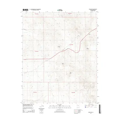
2014 Map of Union Pass
USGS Topo · Published 2014About this map
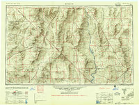
The Black Mountains dominate this 2014 survey of the high desert terrain east of the Colorado River. This area is defined by its historic transportation corridors and topographic landmarks, most notably the strategic gap at Union Pass. Modern infrastructure, represented by Az 68, cuts through the landscape alongside remnants of earlier routes like the Old Kingman Hwy. The presence of Katherine Mine Rd in the northwest corner points to the region's mining heritage, while natural water sources like Secret Pass Spring emphasize the importance of hydration points in the arid Mojave Desert. The map reveals a high-relief landscape where prominent peaks such as Sugarloaf Mtn and Thumb Butte served as navigational beacons for travelers moving between the river valley and the interior plateau.
Find a feature on this map
17 named features on this map. Tap any name to fly to it.
Don’t see what you’re looking for? This feature index may not catch every label — zoom into the map to look around manually.
Map Details
Editions of this 2014 Union Pass Map
This is the sole edition of this map. No revisions or reprints were ever made.
Other maps of this area
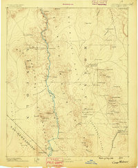
1886 · Camp Mohave
USGS Topo · 1:250,000
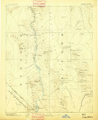
1892 · Camp Mohave
USGS Topo · 1:250,000
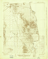
1926 · Mohave City
USGS Topo · 1:96,000
1942 · Camp Mohave
USGS Topo · 1:250,000

1947 · Kingman
USGS Topo · 1:250,000

1948 · Kingman
USGS Topo · 1:250,000
1950 · Davis Dam
USGS Topo · 1:62,500
1952 · Davis Dam
USGS Topo · 1:62,500
1954 · Kingman
USGS Topo · 1:250,000
1955 · Kingman
USGS Topo · 1:250,000