Old Maps of Chukut Kuk, Chukut Kuk District
Explore 10 old maps of Chukut Kuk, spanning from 1954 to today. These high-resolution historic maps reveal how streets, neighborhoods, landmarks, and natural features evolved over time — perfect for genealogy, metal detecting, research, and local history exploration.
What you can do with these maps:
- See how Chukut Kuk changed over time: Compare historical maps to modern-day views to trace roads, homesites, rail lines & more.
- View detailed metadata: Each map includes creators, publishers, year, scale, and archive source.
- Overlay maps with satellite & LiDAR: Visualize the past alongside modern tools to explore terrain & human change.
- Trusted historical sources: Maps sourced from the USGS, Library of Congress, and other archives.
- Access maps your way: View online, download high-res files, or order prints for personal or research use.
Start exploring old maps of Chukut Kuk to uncover forgotten places, hidden landmarks, and the deep history beneath your feet.
Chukut Kuk, Chukut Kuk District maps
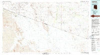
(10)- 1954 Map of Sonoyta
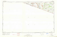
 1954 Sonoyta1954 Print · USGSThe Arizona-Sonora borderlands come into focus in the 1950s, showing a landscape of volcanic craters and remote desert outposts. Trace the cattle-ranching and Indigenous history of the region through sites like Cervantls Well and Ali Ak Chin.
 - 1963 Map of Gu Oidak, 1964 Print
 1963 Gu Oidak1964 Print · USGSThe Papago Indian Reservation comes into focus during the early sixties, showing a landscape of traditional settlements and desert missions. Researchers can trace the layout of Gu Oidak, locate the St Francis Mission near Vamori, or find the Petroglyphs in the southern hills.2 unique versions available
 - 1963 Map of Lukeville, 1964 Print
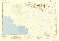
 1963 Lukeville1964 Print · USGSThe Arizona-Mexico borderlands come into focus in this early 1960s survey, detailing the desert infrastructure of the Papago Indian Reservation. Researchers can locate remote sites like the Milton Mine, San Rafael Ruins, and the border crossing at Lukeville.2 unique versions available
 - 1988 Map of Chukut Kuk
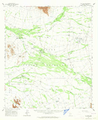
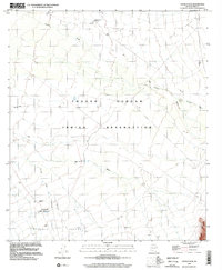
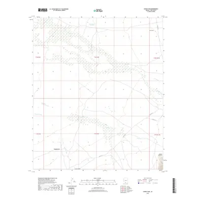
 1988 Chukut Kuk1988 Print · USGSThe Papago Indian Reservation comes into focus during the late eighties, showing a landscape defined by water management and desert ranching. Genealogists and historians can locate remote outposts like Chukut Kuk, Vamori, and Tecolote Ranch.
 - 1994 Map of Lukeville
 1994 Lukeville1994 Print · USGSThe Arizona-Sonora borderlands come into focus in the mid-nineties, centering on the crossing between Lukeville and Sonoyta. Local historians can trace the scattered settlements of the Tohono O'odham Nation, including Ali Ak Chin and Tatk Kam Vo, alongside the peaks of the Ajo Range.
 - 1996 Map of Chukut Kuk, 2002 Print
 1996 Chukut Kuk2002 Print · USGSThe Tohono O'odham nation at the close of the twentieth century is captured through its desert valleys and seasonal washes. Researchers can trace the settlement at Chukut Kuk, find the Cemetery near Tecolote Ranch, and map the water system of Pablos Charco Reservoir.
 - 2011 Map of Chukut Kuk, 2011 Print
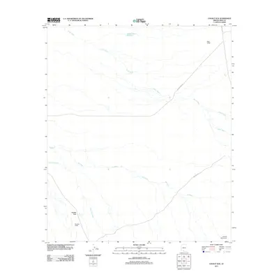 2011 Chukut Kuk2011 Print · USGSCovers Chukut Kuk, including Chukut Kuk District, Sells, and other nearby areas
 - 2014 Map of Chukut Kuk, 2014 Print
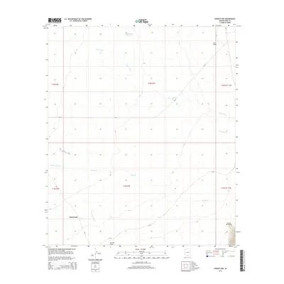 2014 Chukut Kuk2014 Print · USGSCovers Chukut Kuk, including Chukut Kuk District, Sells, and other nearby areas
 - 2018 Map of Chukut Kuk, 2018 Print
 2018 Chukut Kuk2018 Print · USGSCovers Chukut Kuk, including Chukut Kuk District, Sells, and other nearby areas
 - 2021 Map of Chukut Kuk, 2021 Print
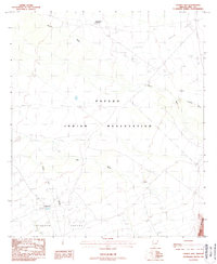
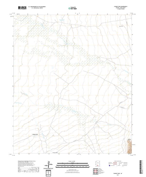 2021 Chukut Kuk2021 Print · USGSSettlement patterns in the Pima County desert are centered around Chukut Kuk in the early 2020s. Researchers can trace seasonal water flow through Big Wash and the rise of the Alvarez Mountains near Indian Rte 20.
End of results
Showing maps 1-10 of 10
Frequently asked questions
- What are the different types of historical maps available for Chukut Kuk?
- What is the oldest map of Chukut Kuk?
- Where can I purchase historical maps of Chukut Kuk for my home or office?
- Where can I download high-res historical maps of Chukut Kuk?
- Are there historical topographic maps available for Chukut Kuk?
- Is there historical aerial imagery available for Chukut Kuk?
- Where are historical maps of Chukut Kuk sourced from?