Old Maps of San Rafael, Chukut Kuk District for Genealogy
Trace your family roots with 10 historic maps of San Rafael. These high-res maps reveal old neighborhoods, homesites, landmarks, and streets — helping you uncover where your ancestors lived and how the area evolved over time.
- Explore historic neighborhoods: Identify where your relatives may have lived in the 1800s or 1900s.
- Compare maps over time: Trace the changes in streets, buildings, and landmarks for multi-generational research.
- Perfect for genealogy & ancestry research: Used by family historians and researchers to map out lineage and migration.
These maps are an incredible resource for exploring your personal connection to San Rafael's past.
San Rafael, Chukut Kuk District maps
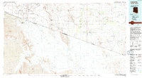
(10)- 1954 Map of Sonoyta
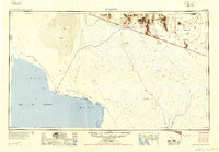 1954 Sonoyta1954 Print · USGSThe Arizona-Sonora borderlands come into focus in the 1950s, showing a landscape of volcanic craters and remote desert outposts. Trace the cattle-ranching and Indigenous history of the region through sites like Cervantls Well and Ali Ak Chin.
 - 1963 Map of La Lesna Mts., 1964 Print
 1963 La Lesna Mts.1964 Print · USGSThe Sonoran Desert borderlands are captured here in the early sixties, showing the remote ranching and indigenous life within the Papago Indian Reservation. Researchers can locate historic cattle stations like Toros Ranch and unique sites such as the San Rafael Ruins and Sivili Chuchg.2 unique versions available
 - 1963 Map of Lukeville, 1964 Print
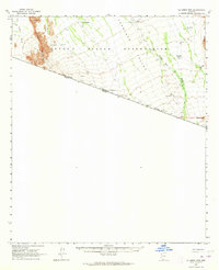
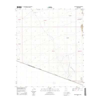
 1963 Lukeville1964 Print · USGSThe Arizona-Mexico borderlands come into focus in this early 1960s survey, detailing the desert infrastructure of the Papago Indian Reservation. Researchers can locate remote sites like the Milton Mine, San Rafael Ruins, and the border crossing at Lukeville.2 unique versions available
 - 1988 Map of Tecolote Ranch
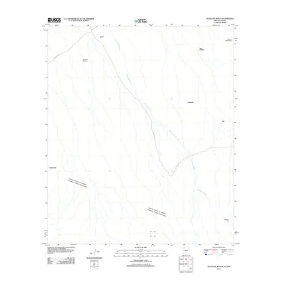
 1988 Tecolote Ranch1988 Print · USGSThe Arizona borderlands within the Papago Indian Reservation appear in high detail during the late eighties. Researchers can locate former settlements like San Rafael (Site) and trace water features like Chukut Kuk Wash.
 - 1994 Map of Lukeville
 1994 Lukeville1994 Print · USGSThe Arizona-Sonora borderlands come into focus in the mid-nineties, centering on the crossing between Lukeville and Sonoyta. Local historians can trace the scattered settlements of the Tohono O'odham Nation, including Ali Ak Chin and Tatk Kam Vo, alongside the peaks of the Ajo Range.
 - 1996 Map of Tecolote Ranch, 2003 Print
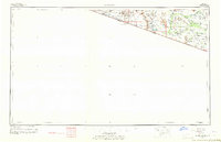
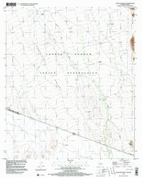 1996 Tecolote Ranch2003 Print · USGSThe Arizona-Sonora borderlands come into focus in the mid-1990s, showing the intersection of the Tohono O'odham Indian Reservation and the Mexican frontier. Trace remote sites like Tecolote Ranch, Vakamok (Site), and the San Rafael Well across the desert landscape.
 - 2011 Map of Tecolote Ranch, 2011 Print
 2011 Tecolote Ranch2011 Print · USGSCovers San Rafael, including Itak, Vakamok, and other nearby areas
 - 2014 Map of Tecolote Ranch, 2014 Print
 2014 Tecolote Ranch2014 Print · USGSCovers San Rafael, including Itak, Vakamok, and other nearby areas
 - 2018 Map of Tecolote Ranch, 2018 Print
 2018 Tecolote Ranch2018 Print · USGSCovers San Rafael, including Itak, Vakamok, and other nearby areas
 - 2021 Map of Tecolote Ranch, 2021 Print
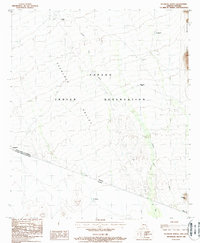
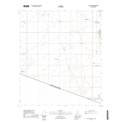
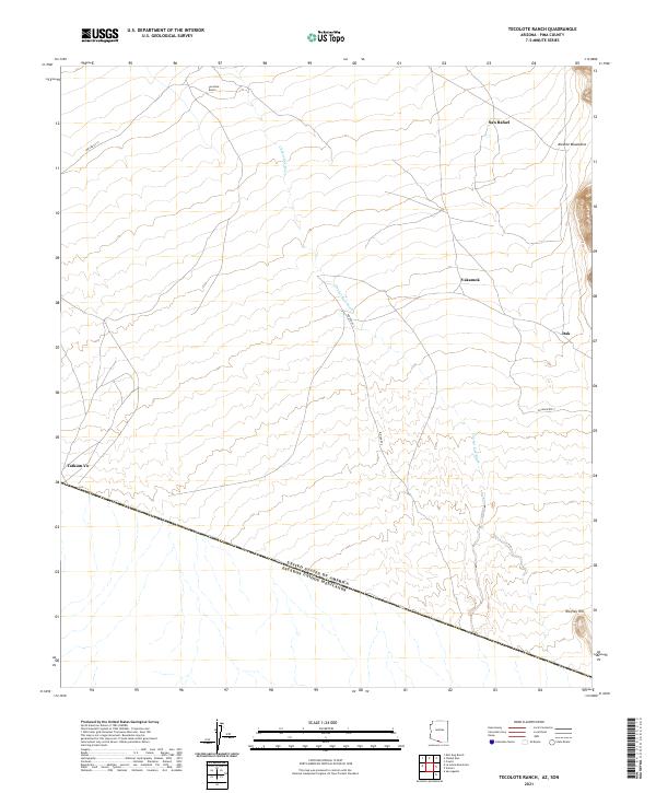 2021 Tecolote Ranch2021 Print · USGSThe Arizona-Mexico border landscape comes into focus in this recent survey of rural Pima County. Researchers can trace the layout of small settlements like Vakamok, Itak, and Tatum Vo alongside the long reach of the Chukut Kuk Wash.
End of results
Showing maps 1-10 of 10
Frequently asked questions
- What are the different types of historical maps available for San Rafael?
- What is the oldest map of San Rafael?
- Where can I purchase historical maps of San Rafael for my home or office?
- Where can I download high-res historical maps of San Rafael?
- Are there historical topographic maps available for San Rafael?
- Is there historical aerial imagery available for San Rafael?
- Where are historical maps of San Rafael sourced from?