Old Maps of Shaotkam, Gu Vo District for Hiking & Exploration
Hike through history with 10 historic maps of Shaotkam. Explore old trails, ghost towns, and forgotten backroads — perfect for outdoor adventurers and local explorers.
- Rediscover forgotten places: Map out old mining camps, roads, and footpaths that no longer exist on modern maps.
- Layer with modern tools: Combine with LiDAR or satellite views to plan hikes through historical terrain.
- Made for exploration: Popular among hikers, overlanders, and local history lovers.
Use these maps to find adventure and explore the hidden past of Shaotkam.
Shaotkam, Gu Vo District maps
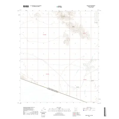
(10)- 1954 Map of Sonoyta
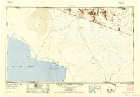 1954 Sonoyta1954 Print · USGSThe Arizona-Sonora borderlands come into focus in the 1950s, showing a landscape of volcanic craters and remote desert outposts. Trace the cattle-ranching and Indigenous history of the region through sites like Cervantls Well and Ali Ak Chin.
 - 1963 Map of Kom Vo, 1964 Print
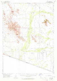 1963 Kom Vo1964 Print · USGSThe southern border of the Papago Indian Reservation is captured in the early 1960s, showing a land shaped by isolated wells and ancient paths. Genealogists and historians can trace the residents of Kom Vo and Vamori, or locate specific sites like Petroglyphs and Papago Farms.2 unique versions available
 - 1963 Map of Lukeville, 1964 Print
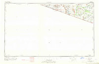 1963 Lukeville1964 Print · USGSThe Arizona-Mexico borderlands come into focus in this early 1960s survey, detailing the desert infrastructure of the Papago Indian Reservation. Researchers can locate remote sites like the Milton Mine, San Rafael Ruins, and the border crossing at Lukeville.2 unique versions available
 - 1988 Map of Bailey Peak
 1988 Bailey Peak1988 Print · USGSThe Arizona-Sonora borderlands come into focus in the late 1980s, centered on the Papago Indian Reservation. Trace the high desert terrain from Bailey Peak across The Great Plain to the international boundary at El Conejo.
 - 1994 Map of Lukeville
 1994 Lukeville1994 Print · USGSThe Arizona-Sonora borderlands come into focus in the mid-nineties, centering on the crossing between Lukeville and Sonoyta. Local historians can trace the scattered settlements of the Tohono O'odham Nation, including Ali Ak Chin and Tatk Kam Vo, alongside the peaks of the Ajo Range.
 - 1996 Map of Bailey Peak, 2003 Print
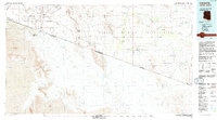
 1996 Bailey Peak2003 Print · USGSThe Arizona-Sonora borderlands come into focus in the mid-nineties, showing the intersection of the Tohono O'odham Indian Reservation and Mexico. Trace the international boundary as it cuts between Bailey Peak and the southern C. El Conejo.
 - 2011 Map of Bailey Peak, 2011 Print
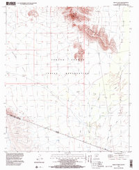
 2011 Bailey Peak2011 Print · USGSCovers Shaotkam, including Chukut Kuk District, Pisinemo District, and other nearby areas
 - 2014 Map of Bailey Peak, 2014 Print
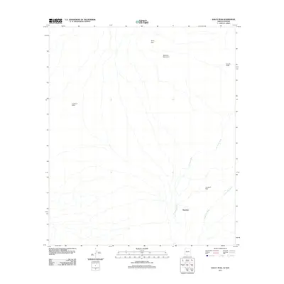
 2014 Bailey Peak2014 Print · USGSCovers Shaotkam, including Chukut Kuk District, Pisinemo District, and other nearby areas
 - 2018 Map of Bailey Peak, 2018 Print
 2018 Bailey Peak2018 Print · USGSCovers Shaotkam, including Chukut Kuk District, Pisinemo District, and other nearby areas
 - 2021 Map of Bailey Peak, 2021 Print
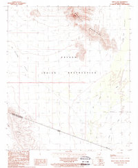
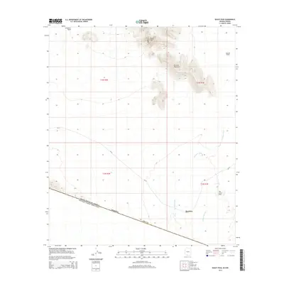
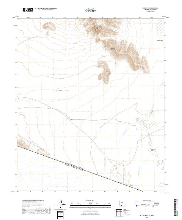 2021 Bailey Peak2021 Print · USGSThe Arizona borderlands at the start of the 2020s are captured here, showing the remote desert terrain where the U.S. meets Mexico. Researchers can trace the drainage of the Chukut Kuk Wash near Shaotkam or study the topography of Bailey Peak and the Mesquite Mountains.
End of results
Showing maps 1-10 of 10
Frequently asked questions
- What are the different types of historical maps available for Shaotkam?
- What is the oldest map of Shaotkam?
- Where can I purchase historical maps of Shaotkam for my home or office?
- Where can I download high-res historical maps of Shaotkam?
- Are there historical topographic maps available for Shaotkam?
- Is there historical aerial imagery available for Shaotkam?
- Where are historical maps of Shaotkam sourced from?