2000s (21st Century) Maps of Sandwash Mill, Arizona
Explore 5 historic maps of Sandwash Mill from the 2000s (21st Century). These maps offer a rare glimpse into what life looked like during the 2000s — showing old roads, neighborhoods, homes, and landmarks that have changed or disappeared over time.
Whether you're researching your family's past, planning a metal detecting trip, or studying how Sandwash Mill's landscape evolved across the 2000s, these high-resolution maps are a powerful tool for exploring the history of this region.
- Focus on a specific era: All maps on this page are from the 2000s, giving you a focused view of this time period.
- See what’s changed: Compare century-old streets, trails, and buildings to today's modern landscape using overlays and satellite layers.
- Research with precision: Use these maps for genealogy, historical research, land use analysis, or educational projects.
- View, download, or print: Maps are fully viewable online in high resolution, and can be downloaded or printed for your own records.
Start exploring Sandwash Mill's history through authentic maps from the 2000s. This is your window into the past.
Sandwash Mill, AZ maps
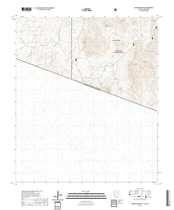
(5)- 2004 Map of Cumero Mountain, 2007 Print
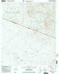 2004 Cumero Mountain2007 Print · USGSThe international border south of Tucson is captured in the early 2000s, showing a rugged landscape of wildlife refuges and national forests. Researchers can trace remote ranching life through Garcia Ranch, the Sandwash Mill, and sites like El Aguajito.
 - 2012 Map of Cumero Mountain, 2012 Print
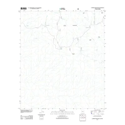 2012 Cumero Mountain2012 Print · USGSCovers Sandwash Mill, including Agua Nueva, El Sahuaro, and other nearby areas
 - 2014 Map of Cumero Mountain, 2014 Print
 2014 Cumero Mountain2014 Print · USGSCovers Sandwash Mill, including Agua Nueva, El Sahuaro, and other nearby areas
 - 2018 Map of Cumero Mountain, 2018 Print
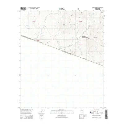
 2018 Cumero Mountain2018 Print · USGSCovers Sandwash Mill, including Agua Nueva, El Sahuaro, and other nearby areas
 - 2021 Map of Cumero Mountain, 2021 Print
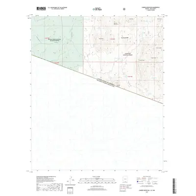
 2021 Cumero Mountain2021 Print · USGSThe Arizona-Mexico border cuts through this Pima County landscape as it appeared in 2021, showing a remote region of national forests and wildlife refuges. Researchers can trace land use through isolated sites like Sandwash Mill and numerous water catchments including Cantina Reservoir and Marijuana Tank.
End of results
Showing maps 1-5 of 5
Top cities near Sandwash Mill
Frequently asked questions
- What are the different types of historical maps available for Sandwash Mill?
- What is the oldest map of Sandwash Mill?
- Where can I purchase historical maps of Sandwash Mill for my home or office?
- Where can I download high-res historical maps of Sandwash Mill?
- Are there historical topographic maps available for Sandwash Mill?
- Is there historical aerial imagery available for Sandwash Mill?
- Where are historical maps of Sandwash Mill sourced from?