2000s (21st Century) Maps of Meridian, Arkansas
Explore 6 historic maps of Meridian from the 2000s (21st Century). These maps offer a rare glimpse into what life looked like during the 2000s — showing old roads, neighborhoods, homes, and landmarks that have changed or disappeared over time.
Whether you're researching your family's past, planning a metal detecting trip, or studying how Meridian's landscape evolved across the 2000s, these high-resolution maps are a powerful tool for exploring the history of this region.
- Focus on a specific era: All maps on this page are from the 2000s, giving you a focused view of this time period.
- See what’s changed: Compare century-old streets, trails, and buildings to today's modern landscape using overlays and satellite layers.
- Research with precision: Use these maps for genealogy, historical research, land use analysis, or educational projects.
- View, download, or print: Maps are fully viewable online in high resolution, and can be downloaded or printed for your own records.
Start exploring Meridian's history through authentic maps from the 2000s. This is your window into the past.
Meridian, AR maps
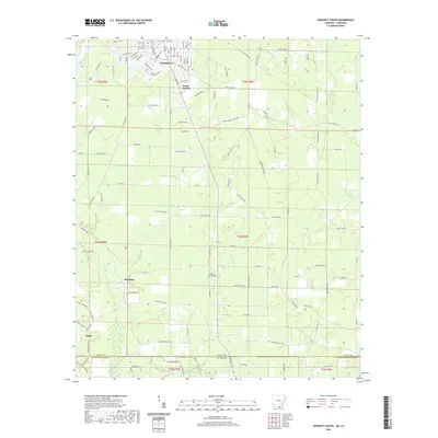
(6)- 2002 Map of Crossett South, 2003 Print
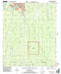 2002 Crossett South2003 Print · USGSCrossing the state line into Louisiana at the turn of the millennium, this survey captures the industrial edge of the timber country and the quiet crossroads of the borderlands. Researchers can trace the Old Railroad Grade or locate family roots at Western Cem and the Norman Sch site.
 - 2011 Map of Crossett South, 2011 Print
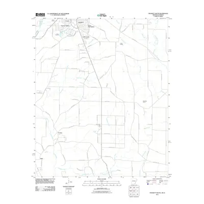 2011 Crossett South2011 Print · USGSCovers Meridian, including Crossett, White, and other nearby areas
 - 2014 Map of Crossett South, 2014 Print
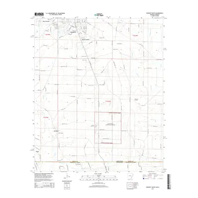 2014 Crossett South2014 Print · USGSCovers Meridian, including Crossett, White, and other nearby areas
 - 2017 Map of Crossett South, 2017 Print
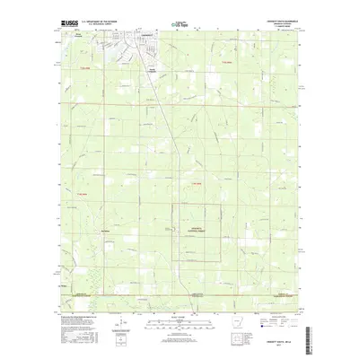 2017 Crossett South2017 Print · USGSCovers Meridian, including Crossett, White, and other nearby areas
 - 2020 Map of Crossett South, 2020 Print
 2020 Crossett South2020 Print · USGSCovers Meridian, including Crossett, White, and other nearby areas
 - 2024 Map of Crossett South, 2024 Print
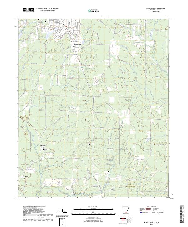 2024 Crossett South2024 Print · USGSSouth Arkansas meets the Louisiana border in this modern survey of the timber and creek lands south of the state line. Genealogists can trace family footprints at Ryles Chapel Cem, Rawls Cem, and the small settlement of Meridian.
End of results
Showing maps 1-6 of 6
Top cities near Meridian
- Crossett historical maps
- Hamburg historical maps
- North Crossett historical maps
- Huttig historical maps
- Felsenthal historical maps
Frequently asked questions
- What are the different types of historical maps available for Meridian?
- What is the oldest map of Meridian?
- Where can I purchase historical maps of Meridian for my home or office?
- Where can I download high-res historical maps of Meridian?
- Are there historical topographic maps available for Meridian?
- Is there historical aerial imagery available for Meridian?
- Where are historical maps of Meridian sourced from?