Old Maps of Rawls, Arkansas for Genealogy
Trace your family roots with 11 historic maps of Rawls. These high-res maps reveal old neighborhoods, homesites, landmarks, and streets — helping you uncover where your ancestors lived and how the area evolved over time.
- Explore historic neighborhoods: Identify where your relatives may have lived in the 1800s or 1900s.
- Compare maps over time: Trace the changes in streets, buildings, and landmarks for multi-generational research.
- Perfect for genealogy & ancestry research: Used by family historians and researchers to map out lineage and migration.
These maps are an incredible resource for exploring your personal connection to Rawls's past.
Rawls, AR maps
(11)- 1953 Map of Greenwood, 1966 Print
 1953 Greenwood1966 Print · USGSThe Mississippi Delta in the mid-fifties is captured here as a thriving network of river towns, railroads, and oxbow lakes. Researchers can trace the legacy of the Illinois Central Railroad and locate landmarks like the State Penal Farm and Greenville Air Force Base.5 unique versions available
 - 1956 Map of Greenwood
 1956 Greenwood1956 Print · USGSThe Mississippi Delta in the mid-fifties is captured here during a period of significant military and agricultural activity. Researchers can trace the rail lines of the Illinois Central RR, find the Greenville Air Force Base, or locate the State Penal Farm.
 - 1973 Map of Berlin, 1975 Print
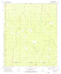 1973 Berlin1975 Print · USGSThe Arkansas-Louisiana state line comes to life in the early 1970s, showing the quiet transition between Ashley County and Morehouse Parish. Researchers can trace the Old Railroad Grade and locate family landmarks like Maplevale Ch and Berlin.
 - 1978 Map of Hamburg
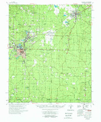 1978 Hamburg1978 Print · USGSSoutheast Arkansas in the late seventies is captured here during a period of industrial and residential growth near the Louisiana border. Researchers can locate numerous country churches and schools such as Phillip Grove Ch, Beulah Land, and Anderson Sch.
 - 1986 Map of Crossett
 1986 Crossett1986 Print · USGSSoutheast Arkansas and the Mississippi Delta meet in the mid-1980s, revealing a landscape of rail-linked towns and river bottomlands. Researchers can trace the Missouri Pacific line through Hamburg and Parkdale or locate Millers Chapel and Winterville Mounds State Park.2 unique versions available
 - 2002 Map of Berlin, 2003 Print
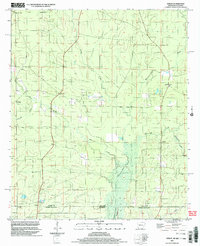 2002 Berlin2003 Print · USGSThe Arkansas-Louisiana state line south of Ashley County is captured here at the turn of the millennium. Genealogists and historians can trace rural communities like Berlin and Gulledge, or locate family-named landmarks such as Mapleville Ch and Rawls.
 - 2011 Map of Berlin, 2011 Print
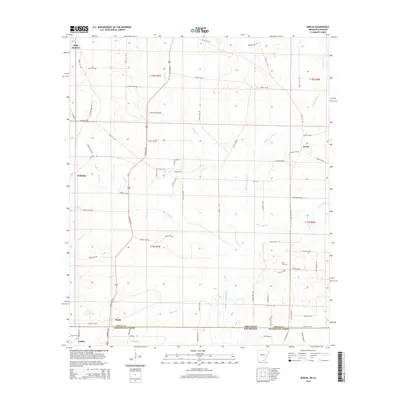
 2011 Berlin2011 Print · USGSCovers Rawls, including Geddie, Gulledge, and other nearby areas
 - 2014 Map of Berlin, 2014 Print
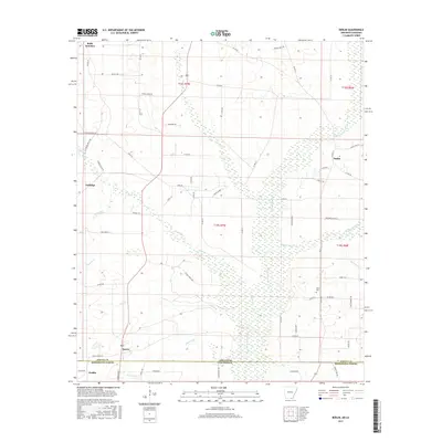
 2014 Berlin2014 Print · USGSCovers Rawls, including Geddie, Gulledge, and other nearby areas
 - 2017 Map of Berlin, 2017 Print
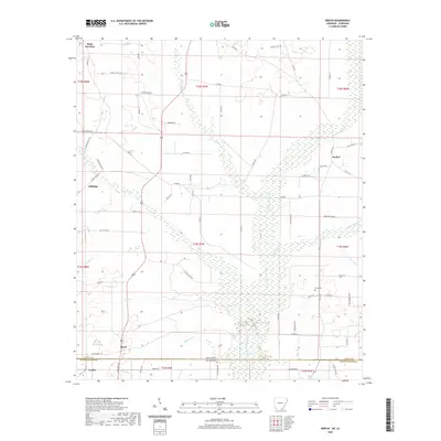
 2017 Berlin2017 Print · USGSCovers Rawls, including Geddie, Gulledge, and other nearby areas
 - 2020 Map of Berlin, 2020 Print
 2020 Berlin2020 Print · USGSCovers Rawls, including Geddie, Gulledge, and other nearby areas
 - 2024 Map of Berlin, 2024 Print
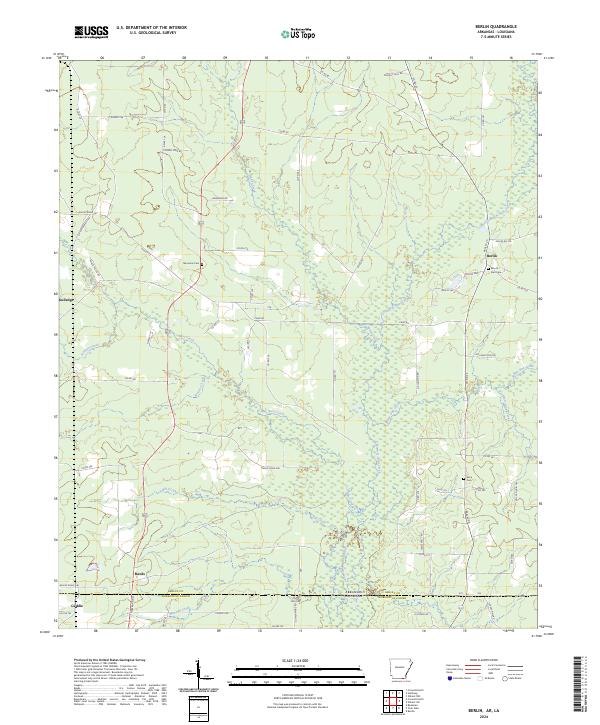 2024 Berlin2024 Print · USGSThe Arkansas and Louisiana borderlands come together in this recent survey of the creek-bottom country south of Berlin. Genealogists can locate family landmarks like Mount Zion Cem and Nimmons Cem near the banks of Chemin-A-Haut Creek.
End of results
Showing maps 1-11 of 11
Top cities near Rawls
- Bastrop historical maps
- Crossett historical maps
- Hamburg historical maps
- North Crossett historical maps
- Mer Rouge historical maps
- Bonita historical maps
Frequently asked questions
- What are the different types of historical maps available for Rawls?
- What is the oldest map of Rawls?
- Where can I purchase historical maps of Rawls for my home or office?
- Where can I download high-res historical maps of Rawls?
- Are there historical topographic maps available for Rawls?
- Is there historical aerial imagery available for Rawls?
- Where are historical maps of Rawls sourced from?