2000s (21st Century) Maps of Pea Ridge, Arkansas
Explore 10 historic maps of Pea Ridge from the 2000s (21st Century). These maps offer a rare glimpse into what life looked like during the 2000s — showing old roads, neighborhoods, homes, and landmarks that have changed or disappeared over time.
Whether you're researching your family's past, planning a metal detecting trip, or studying how Pea Ridge's landscape evolved across the 2000s, these high-resolution maps are a powerful tool for exploring the history of this region.
- Focus on a specific era: All maps on this page are from the 2000s, giving you a focused view of this time period.
- See what’s changed: Compare century-old streets, trails, and buildings to today's modern landscape using overlays and satellite layers.
- Research with precision: Use these maps for genealogy, historical research, land use analysis, or educational projects.
- View, download, or print: Maps are fully viewable online in high resolution, and can be downloaded or printed for your own records.
Start exploring Pea Ridge's history through authentic maps from the 2000s. This is your window into the past.
Pea Ridge, AR maps
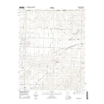
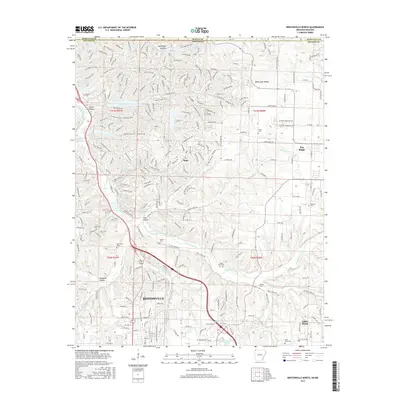
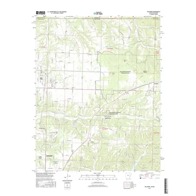
(10)- 2011 Map of Pea Ridge, 2011 Print
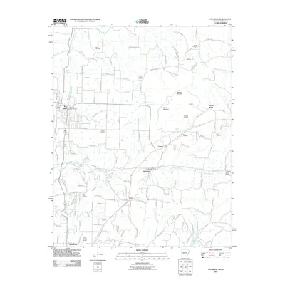 2011 Pea Ridge2011 Print · USGSCovers Pea Ridge, including Rogers, Little Flock, and other nearby areas
 - 2011 Map of Bentonville North, 2011 Print
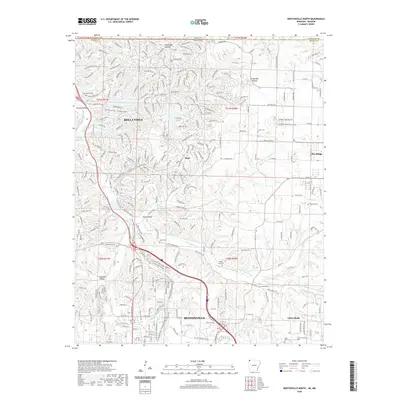
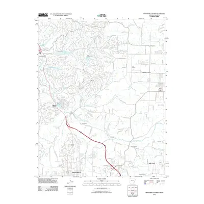 2011 Bentonville North2011 Print · USGSCovers Pea Ridge, including Bentonville, Bella Vista, and other nearby areas
 - 2014 Map of Bentonville North, 2014 Print
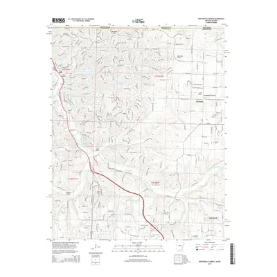 2014 Bentonville North2014 Print · USGSCovers Pea Ridge, including Bentonville, Bella Vista, and other nearby areas
 - 2014 Map of Pea Ridge, 2014 Print
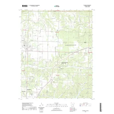
 2014 Pea Ridge2014 Print · USGSCovers Pea Ridge, including Rogers, Little Flock, and other nearby areas
 - 2017 Map of Bentonville North, 2017 Print
 2017 Bentonville North2017 Print · USGSCovers Pea Ridge, including Bentonville, Bella Vista, and other nearby areas
 - 2017 Map of Pea Ridge, 2017 Print
 2017 Pea Ridge2017 Print · USGSCovers Pea Ridge, including Rogers, Little Flock, and other nearby areas
 - 2020 Map of Bentonville North, 2020 Print
 2020 Bentonville North2020 Print · USGSCovers Pea Ridge, including Bentonville, Bella Vista, and other nearby areas
 - 2020 Map of Pea Ridge, 2020 Print
 2020 Pea Ridge2020 Print · USGSCovers Pea Ridge, including Rogers, Little Flock, and other nearby areas
 - 2024 Map of Bentonville North, 2024 Print
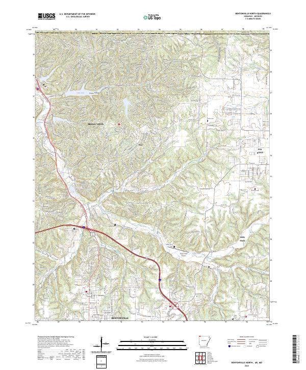 2024 Bentonville North2024 Print · USGSBenton County undergoes modern transformation in this 2024 survey of the growing corridor north of Bentonville. Genealogists and local historians can trace family sites at Oakes Cem and Kindley Cem while following the terrain from Little Sugar Creek to Pea Ridge.
 - 2024 Map of Pea Ridge, 2024 Print
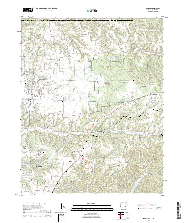 2024 Pea Ridge2024 Print · USGSNorthwest Arkansas and the Missouri border country are shown in this recent survey, centered on the Civil War grounds of Pea Ridge National Military Park. Genealogists can trace family plots at Banks Cem and Saint Vincents Cem or locate the historic Elkhorn Tavern.
End of results
Showing maps 1-10 of 10
Top cities near Pea Ridge
- Springdale historical maps
- Rogers historical maps
- Bentonville historical maps
- Bella Vista historical maps
- Centerton historical maps
- Lowell historical maps
See more
Top neighborhoods of Pea Ridge
Frequently asked questions
- What are the different types of historical maps available for Pea Ridge?
- What is the oldest map of Pea Ridge?
- Where can I purchase historical maps of Pea Ridge for my home or office?
- Where can I download high-res historical maps of Pea Ridge?
- Are there historical topographic maps available for Pea Ridge?
- Is there historical aerial imagery available for Pea Ridge?
- Where are historical maps of Pea Ridge sourced from?