Old Maps of Warren, Arkansas for Academic Research
Study the evolution of Warren with 19 high-resolution historic maps. Whether you're teaching, researching, or modeling changes in land use, these maps provide essential visual documentation of urban, environmental, and geographic change.
- Analyze long-term change: Track patterns in development, transportation, and natural features.
- Ideal for environmental or urban studies: Support academic projects with primary historical map data.
- Use in the classroom or lab: Educators and researchers rely on these maps to bring historical context to life.
These maps are a powerful tool for teaching, research, and visualizing how Warren has changed over the decades.
Warren, AR maps
(19)- 1953 Map of El Dorado, 1967 Print
 1953 El Dorado1967 Print · USGSSouth Arkansas in the mid-1960s was a landscape of industrial growth and river-fed commerce. Researchers can trace the extensive Oil and Gas Fields around Magnolia, the expansive U S Naval Ammunition Depot, and the busy rail lines of the Missouri Pacific.3 unique versions available
 - 1957 Map of El Dorado
 1957 El Dorado1957 Print · USGSSouth Arkansas in the mid-1950s was a critical hub of military logistics and rail-river commerce. Genealogists and historians can trace family land across the Arkansas Louisiana border and locate sites like the U.S. Naval Ammunition Depot or the rail junctions at Magnolia and Camden.
 - 1958 Map of El Dorado
 1958 El Dorado1958 Print · USGSSouthern Arkansas and the Louisiana borderlands are shown during a period of heavy rail traffic and defense industry activity. Researchers can trace the legacy of the U. S. Naval Ammunition Depot or locate family roots in Smackover, Huttig, and Nashville.3 unique versions available
 - 1960 Map of El Dorado
 1960 El Dorado1960 Print · USGSSouth Central Arkansas in the late fifties was a hub of energy production and defense industry. Researchers can trace the extensive Oil and Gas Fields around El Dorado or locate family landmarks like Old Park Cem and New Hope Church.
 - 1973 Map of Warren, 1975 Print
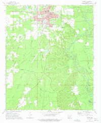 1973 Warren1975 Print · USGSWarren was a bustling Bradley County rail and timber center in the early seventies, caught here just as the river-and-rail economy transitioned. Genealogists and local historians can trace family roots through sites like Oakland Cemetery, St James Church, and the outlying settlement of Carmel.2 unique versions available
 - 1973 Map of Warren NE, 1975 Print
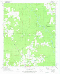 1973 Warren NE1975 Print · USGSThe Bradley County timberlands and the outskirts of Warren are captured here in the mid-seventies. Researchers can trace rural life through numerous landmarks like Macedonia Ch, Seay Cem, and the historic Old Camden Road.2 unique versions available
 - 1978 Map of Warren
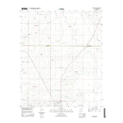
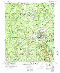 1978 Warren1978 Print · USGSBradley County life in the late 1970s centered on the hub of Warren and its network of rural churches and family farms. Researchers can trace local lineage through sites like Parnell Cem, Moseley Chapel, and the community of Farmville.
 - 1986 Map of Camden
 1986 Camden1986 Print · USGSSouth Arkansas in the 1980s remains a landscape shaped by river valleys and the legacy of the timber industry. Researchers can trace the massive Abandoned Ammunition Depot or locate family roots in Eagle Mills, Bearden, and Tinsman.
 - 1989 Map of El Dorado, 1990 Print
 1989 El Dorado1990 Print · USGSThe Arkansas-Louisiana borderlands in the late eighties show a landscape of heavy industry and wildlife conservation centered on the Ouachita River. Researchers can trace the legacy of timber and transport via the Missouri Pacific RR, Poison Springs State Forest, and the vast Felsenthal Pool.
 - 2011 Map of Warren NE, 2011 Print
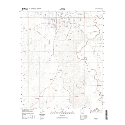
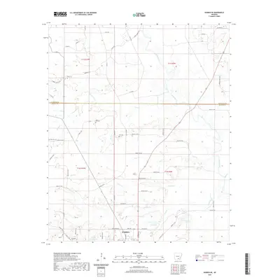
 2011 Warren NE2011 Print · USGSCovers Warren, including Cleveland County, Bradley County, and other nearby areas
 - 2011 Map of Warren, 2011 Print
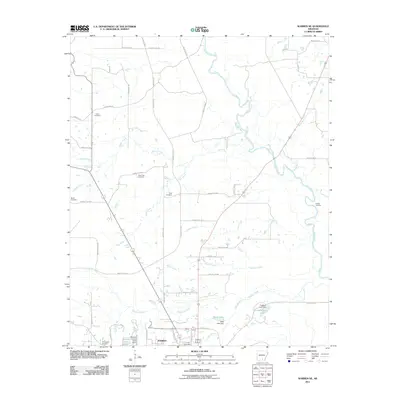
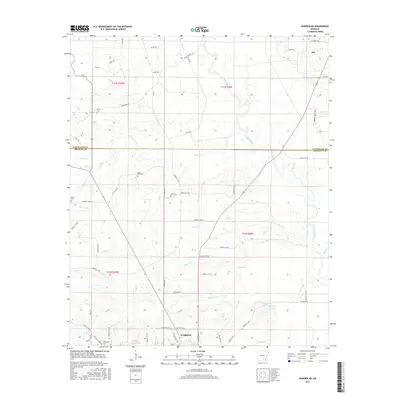
 2011 Warren2011 Print · USGSCovers Warren, including Carmel, Drew County, and other nearby areas
 - 2014 Map of Warren, 2014 Print
 2014 Warren2014 Print · USGSCovers Warren, including Carmel, Drew County, and other nearby areas
 - 2014 Map of Warren NE, 2014 Print
 2014 Warren NE2014 Print · USGSCovers Warren, including Cleveland County, Bradley County, and other nearby areas
 - 2017 Map of Warren, 2017 Print
 2017 Warren2017 Print · USGSCovers Warren, including Carmel, Drew County, and other nearby areas
 - 2017 Map of Warren NE, 2017 Print
 2017 Warren NE2017 Print · USGSCovers Warren, including Cleveland County, Bradley County, and other nearby areas
 - 2020 Map of Warren NE, 2020 Print
 2020 Warren NE2020 Print · USGSCovers Warren, including Cleveland County, Bradley County, and other nearby areas
 - 2020 Map of Warren, 2020 Print
 2020 Warren2020 Print · USGSCovers Warren, including Carmel, Drew County, and other nearby areas
 - 2024 Map of Warren NE, 2024 Print
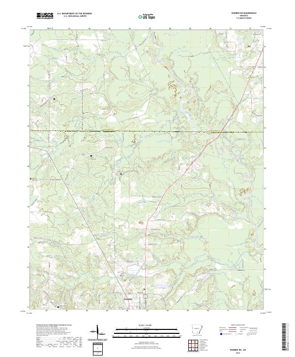 2024 Warren NE2024 Print · USGSThe northern edge of Bradley County comes into focus in this recent survey of the rural landscape near Rye. Genealogists and local historians can locate several family burial grounds, including Beard Cem and Seay Cem, alongside the winding Saline River.
 - 2024 Map of Warren, 2024 Print
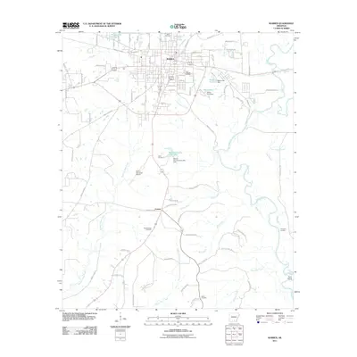
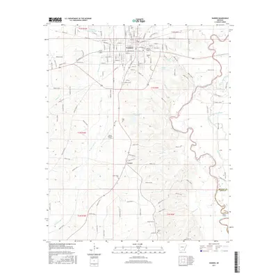
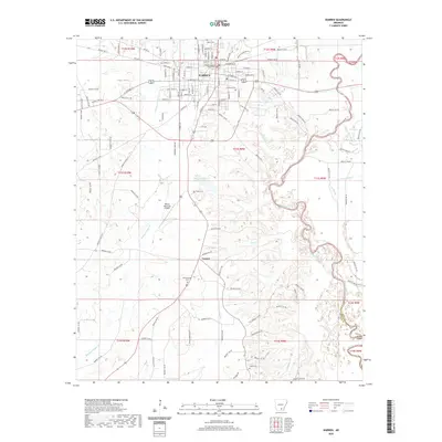
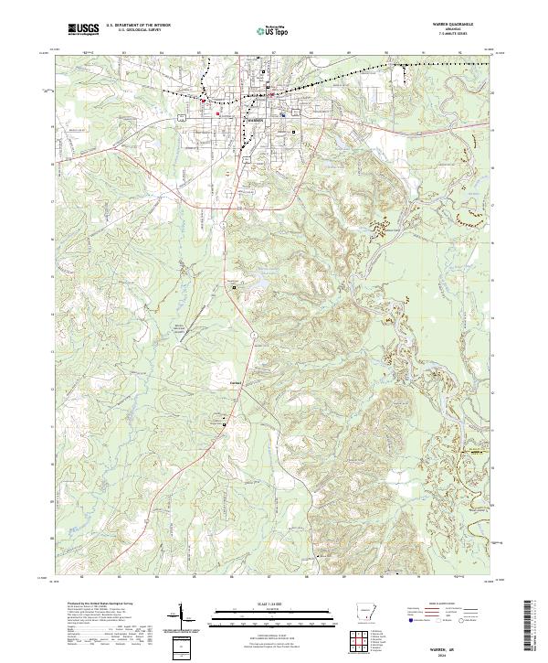 2024 Warren2024 Print · USGSWarren and the Saline River valley appear in contemporary detail, showing the integration of modern infrastructure within this historic Arkansas timber hub. Researchers can locate many family burial sites including Oakland Cem and Saline Cem, or trace the winding course of Gin House Slough.
End of results
Showing maps 1-19 of 19
Top cities near Warren
Frequently asked questions
- What are the different types of historical maps available for Warren?
- What is the oldest map of Warren?
- Where can I purchase historical maps of Warren for my home or office?
- Where can I download high-res historical maps of Warren?
- Are there historical topographic maps available for Warren?
- Is there historical aerial imagery available for Warren?
- Where are historical maps of Warren sourced from?