Old Maps of Thornton, Arkansas
Explore 20 old maps of Thornton, spanning from 1903 to today. These high-resolution historic maps reveal how streets, neighborhoods, landmarks, and natural features evolved over time — perfect for genealogy, metal detecting, research, and local history exploration.
What you can do with these maps:
- See how Thornton changed over time: Compare historical maps to modern-day views to trace roads, homesites, rail lines & more.
- View detailed metadata: Each map includes creators, publishers, year, scale, and archive source.
- Overlay maps with satellite & LiDAR: Visualize the past alongside modern tools to explore terrain & human change.
- Trusted historical sources: Maps sourced from the USGS, Library of Congress, and other archives.
- Access maps your way: View online, download high-res files, or order prints for personal or research use.
Start exploring old maps of Thornton to uncover forgotten places, hidden landmarks, and the deep history beneath your feet.
Thornton, AR maps
(20)- 1903 Map of Camden
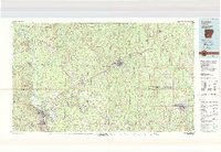
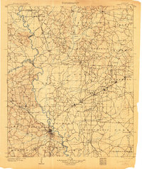 1903 Camden1903 Print · USGSSouth Arkansas at the turn of the century reveals a landscape of river-bend commerce and emerging rail towns along the Ouachita River. Trace family roots in early settlements like Holly Springs, Bearden, and the industrial hub at Eagle Mills.3 unique versions available
 - 1953 Map of El Dorado, 1967 Print
 1953 El Dorado1967 Print · USGSSouth Arkansas in the mid-1960s was a landscape of industrial growth and river-fed commerce. Researchers can trace the extensive Oil and Gas Fields around Magnolia, the expansive U S Naval Ammunition Depot, and the busy rail lines of the Missouri Pacific.3 unique versions available
 - 1957 Map of El Dorado
 1957 El Dorado1957 Print · USGSSouth Arkansas in the mid-1950s was a critical hub of military logistics and rail-river commerce. Genealogists and historians can trace family land across the Arkansas Louisiana border and locate sites like the U.S. Naval Ammunition Depot or the rail junctions at Magnolia and Camden.
 - 1958 Map of El Dorado
 1958 El Dorado1958 Print · USGSSouthern Arkansas and the Louisiana borderlands are shown during a period of heavy rail traffic and defense industry activity. Researchers can trace the legacy of the U. S. Naval Ammunition Depot or locate family roots in Smackover, Huttig, and Nashville.3 unique versions available
 - 1960 Map of El Dorado
 1960 El Dorado1960 Print · USGSSouth Central Arkansas in the late fifties was a hub of energy production and defense industry. Researchers can trace the extensive Oil and Gas Fields around El Dorado or locate family landmarks like Old Park Cem and New Hope Church.
 - 1966 Map of Fordyce, 1967 Print
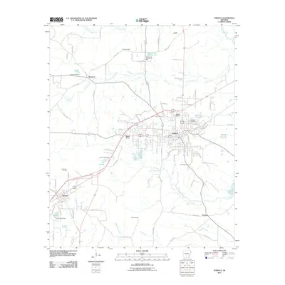
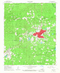 1966 Fordyce1967 Print · USGSFordyce and the surrounding Dallas County countryside are captured in the mid-sixties at a peak of rail-based commerce. Researchers can trace family sites at Oakland Cemetery or locate the rural communities of Bucksnort and Thornton.2 unique versions available
 - 1973 Map of Hopeville, 1975 Print
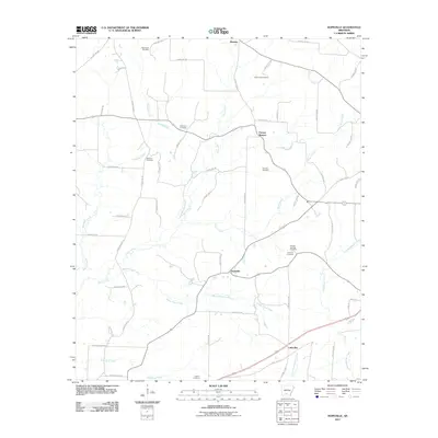
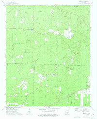 1973 Hopeville1975 Print · USGSThe borderlands of Dallas, Ouachita, and Calhoun counties are captured here in the early seventies, a landscape of rural crossroads and timbered creek bottoms. Genealogists can locate family landmarks like Stevenson Cem, Oak Grove Ch, and the settlement of Hopeville.2 unique versions available
 - 1978 Map of Princeton
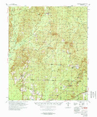 1978 Princeton1978 Print · USGSSouth Arkansas rural life is captured here in the late 1970s as timber and rail lines defined the local economy. Researchers can trace family roots at Princeton Cem and Macedonia Ch or locate industrial sites like the Fish Hatchery and numerous Gravel Pits.
 - 1986 Map of Camden
 1986 Camden1986 Print · USGSSouth Arkansas in the 1980s remains a landscape shaped by river valleys and the legacy of the timber industry. Researchers can trace the massive Abandoned Ammunition Depot or locate family roots in Eagle Mills, Bearden, and Tinsman.
 - 1989 Map of El Dorado, 1990 Print
 1989 El Dorado1990 Print · USGSThe Arkansas-Louisiana borderlands in the late eighties show a landscape of heavy industry and wildlife conservation centered on the Ouachita River. Researchers can trace the legacy of timber and transport via the Missouri Pacific RR, Poison Springs State Forest, and the vast Felsenthal Pool.
 - 2011 Map of Hopeville, 2011 Print
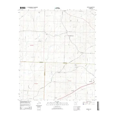
 2011 Hopeville2011 Print · USGSCovers Thornton, including Little Bay, Forrest Bonner, and other nearby areas
 - 2011 Map of Fordyce, 2011 Print
 2011 Fordyce2011 Print · USGSCovers Thornton, including Fordyce, Beech Grove, and other nearby areas
 - 2014 Map of Fordyce, 2014 Print
 2014 Fordyce2014 Print · USGSCovers Thornton, including Fordyce, Beech Grove, and other nearby areas
 - 2014 Map of Hopeville, 2014 Print
 2014 Hopeville2014 Print · USGSCovers Thornton, including Little Bay, Forrest Bonner, and other nearby areas
 - 2017 Map of Hopeville, 2017 Print
 2017 Hopeville2017 Print · USGSCovers Thornton, including Little Bay, Forrest Bonner, and other nearby areas
 - 2017 Map of Fordyce, 2017 Print
 2017 Fordyce2017 Print · USGSCovers Thornton, including Fordyce, Beech Grove, and other nearby areas
 - 2020 Map of Hopeville, 2020 Print
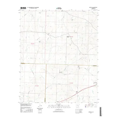
 2020 Hopeville2020 Print · USGSCovers Thornton, including Little Bay, Forrest Bonner, and other nearby areas
 - 2020 Map of Fordyce, 2020 Print
 2020 Fordyce2020 Print · USGSCovers Thornton, including Fordyce, Beech Grove, and other nearby areas
 - 2024 Map of Hopeville, 2024 Print
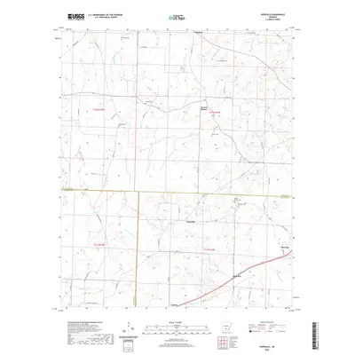
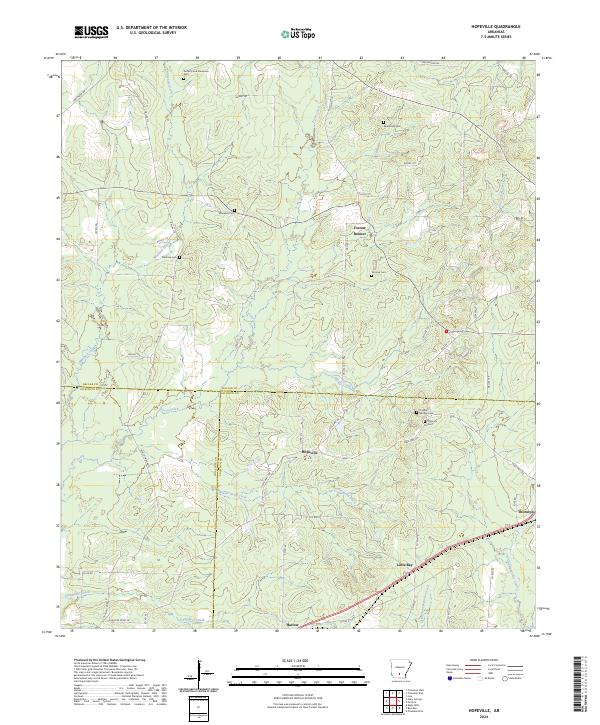 2024 Hopeville2024 Print · USGSThe rural timberlands where Dallas, Calhoun, and Ouachita counties meet are shown here in the contemporary era. Local historians can trace family roots through numerous sites like Doherty and Stevenson Cem, Hopeville, and Little Bay.
 - 2024 Map of Fordyce, 2024 Print
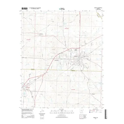
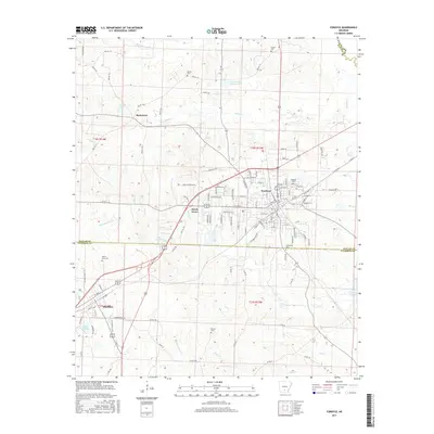
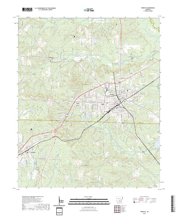 2024 Fordyce2024 Print · USGSFordyce and its neighboring timberland settlements are captured in this modern survey of the Dallas County region. Researchers can trace the layout of small communities like Thornton and Bucksnort or locate rural family landmarks such as Stroud Cem.
End of results
Showing maps 1-20 of 20
Top cities near Thornton
- Fordyce historical maps
- Bearden historical maps
- Kingsland historical maps
- Banks historical maps
- Tinsman historical maps
Frequently asked questions
- What are the different types of historical maps available for Thornton?
- What is the oldest map of Thornton?
- Where can I purchase historical maps of Thornton for my home or office?
- Where can I download high-res historical maps of Thornton?
- Are there historical topographic maps available for Thornton?
- Is there historical aerial imagery available for Thornton?
- Where are historical maps of Thornton sourced from?