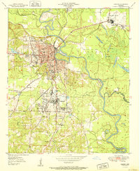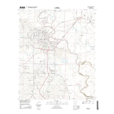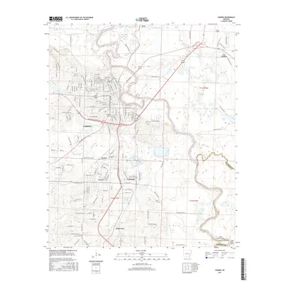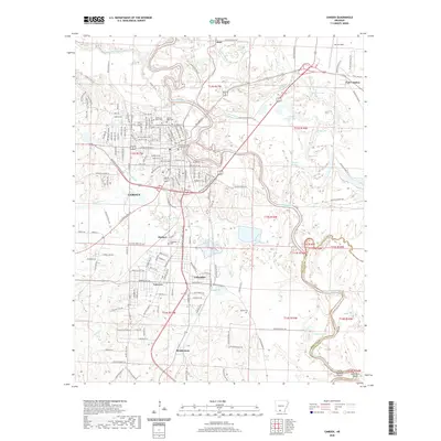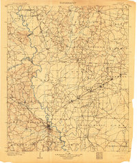
1903 Map of Camden
USGS Topo · Published 1903About this map
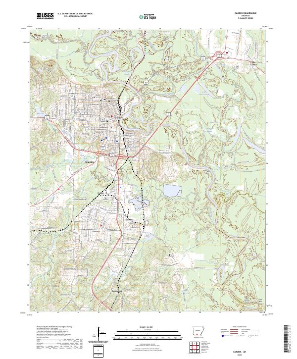
The Ouachita River winds heavily through this South Arkansas landscape, serving as a primary corridor for a region defined by its timber and fledgling industrial rail networks at the turn of the century. The St. Louis Southwestern RR cuts diagonally through the center, anchoring several active mill towns and settlements including Eagle Mills, Bearden, and Millville. This rail connection reflects the area's transition into a commercial hub for timber and resource extraction, punctuated by the presence of a Coal Mine west of the river near Roman Mountain.
Find a feature on this map
87 named features on this map. Tap any name to fly to it.
Don’t see what you’re looking for? This feature index may not catch every label — zoom into the map to look around manually.
Map Details
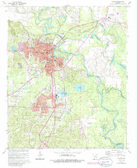
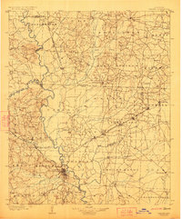
Editions of this 1903 Camden Map
3 editions found
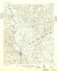
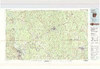
Historical Maps of Camden Through Time
9 maps found