
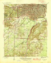
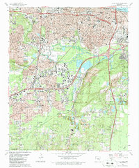
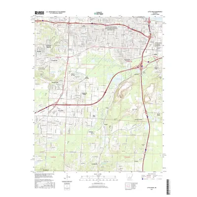
1956 Map of Little Rock
USGS Topo · Published 1956About this map
Little Rock and its surrounding river valley anchor this mid-century survey, which reveals the intense intersection of military infrastructure and industrial growth in Central Arkansas. The landscape is defined by the Arkansas River and the transition from the steep ridges of the Ouachita Mountains in the west to the alluvial plains toward Pine Bluff. Key Cold War-era installations are prominent, including Little Rock Air Force Base, Camp Joseph T Robinson, and the Pine Bluff Arsenal, signaling the region's strategic importance during the 1950s.
Find a feature on this map
302 named features on this map. Tap any name to fly to it.
Don’t see what you’re looking for? This feature index may not catch every label — zoom into the map to look around manually.
Map Details
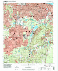
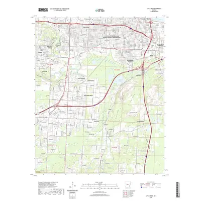
Editions of this 1956 Little Rock Map
This is the sole edition of this map. No revisions or reprints were ever made.
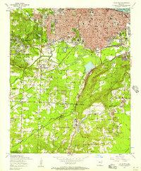
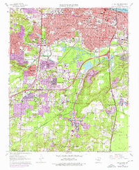
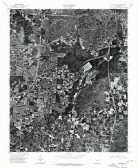
Historical Maps of Little Rock Through Time
18 maps found

1891 Little Rock
Pulaski County, AR

1935 Little Rock
Pulaski County, AR
1944 Little Rock
Pulaski County, AR
1954 Little Rock
Pulaski County, AR

1955 Little Rock
Pulaski County, AR
1956 Little Rock
Pulaski County, AR

1960 Little Rock
Pulaski County, AR
1961 Little Rock
Pulaski County, AR

1964 Little Rock
Pulaski County, AR
1975 Little Rock
Pulaski County, AR

1985 Little Rock
Pulaski County, AR
1986 Little Rock
Pulaski County, AR
1994 Little Rock
Pulaski County, AR
2011 Little Rock
Pulaski County, AR
2014 Little Rock
Pulaski County, AR
2017 Little Rock
Pulaski County, AR
2020 Little Rock
Pulaski County, AR
2024 Little Rock
Pulaski County, AR