
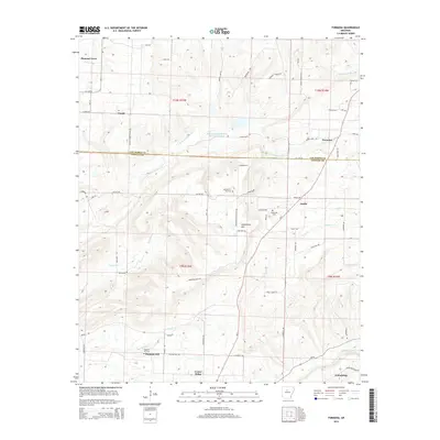
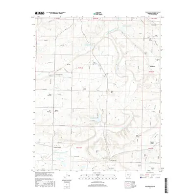
1889 Map of Morrilton No. 3
USGS Topo · Published 1889About this map
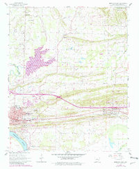
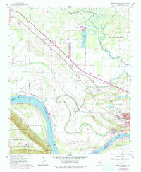
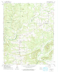
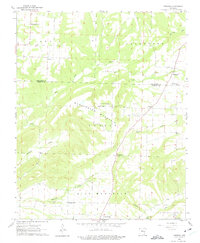
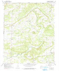
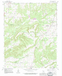
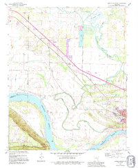
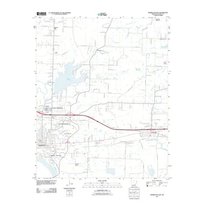
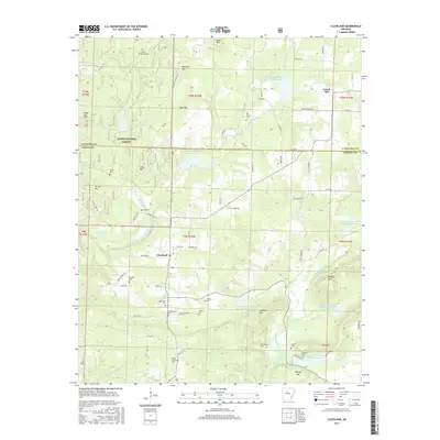
Petit Jean Mountain dominates the southern half of this landscape, its steep escarpments rising sharply from the river valley. Surveyed by the Geological Survey of Arkansas under Henry Gannett, this map documents the area during a period when the economy was tied closely to the fertile lands of Gardens Bottoms and the meandering course of Petit Jean Creek. The topographical detail captures the dramatic drop of Cedar Falls and the isolated drainage basins of Cedar Creek, while the northern section reveals the early footprint of Atkins along the established rail line. Small upland settlements such as Ada and Divide are positioned on higher ground, overlooking a network of water features including Half Moon Lake and Cypress Lake, which mark the shifts in the river's historic floodplain.
Find a feature on this map
15 named features on this map. Tap any name to fly to it.
Don’t see what you’re looking for? This feature index may not catch every label — zoom into the map to look around manually.
Map Details
Editions of this 1889 Morrilton No. 3 Map
This is the sole edition of this map. No revisions or reprints were ever made.
Historical Maps of Morrilton Through Time
37 maps found
1889 Morrilton No. 3
Conway County, AR

1892 Morrillton
Conway County, AR
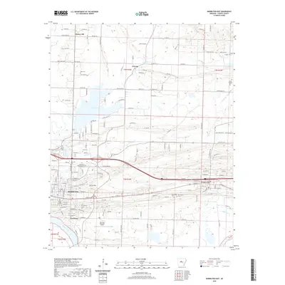
1961 Morrilton East
Conway County, AR
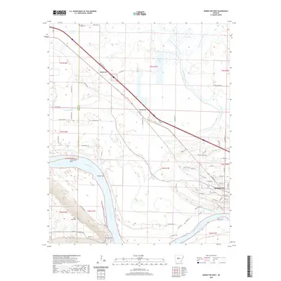
1961 Morrilton West
Conway County, AR
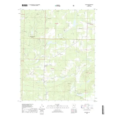
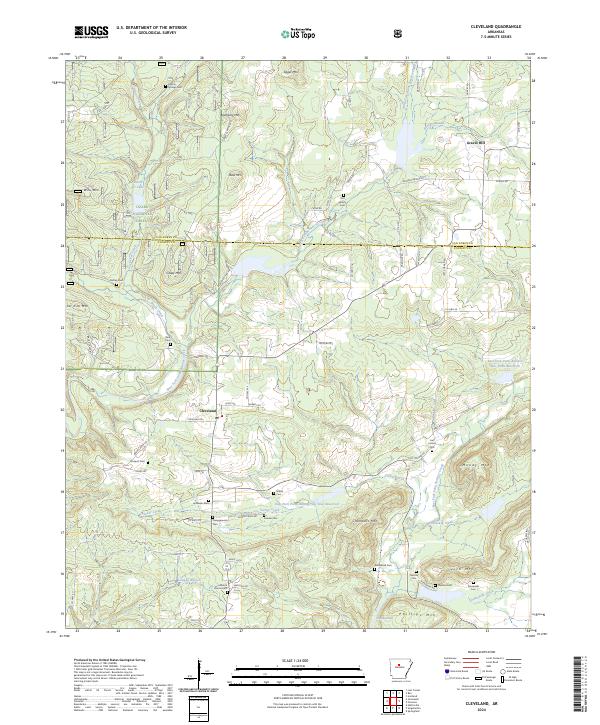
1962 Cleveland
Conway County, AR
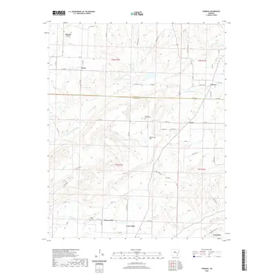
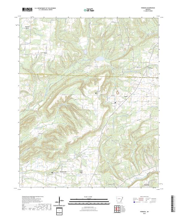
1962 Formosa
Conway County, AR
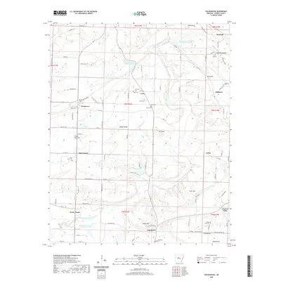
1962 Solgohachia
Conway County, AR
1990 Cleveland
Conway County, AR
1990 Morrilton East
Conway County, AR
1990 Solgohachia
Conway County, AR
1991 Formosa
Conway County, AR
1991 Morrilton West
Conway County, AR
2011 Cleveland
Conway County, AR
2011 Formosa
Conway County, AR
2011 Morrilton East
Conway County, AR
2011 Morrilton West
Conway County, AR
2011 Solgohachia
Conway County, AR
2014 Cleveland
Conway County, AR
2014 Formosa
Conway County, AR
2014 Morrilton East
Conway County, AR
2014 Morrilton West
Conway County, AR
2014 Solgohachia
Conway County, AR
2017 Cleveland
Conway County, AR
2017 Formosa
Conway County, AR
2017 Morrilton East
Conway County, AR
2017 Morrilton West
Conway County, AR
2017 Solgohachia
Conway County, AR
2020 Cleveland
Conway County, AR
2020 Formosa
Conway County, AR
2020 Morrilton East
Conway County, AR
2020 Morrilton West
Conway County, AR
2020 Solgohachia
Conway County, AR
2024 Cleveland
Conway County, AR
2024 Formosa
Conway County, AR
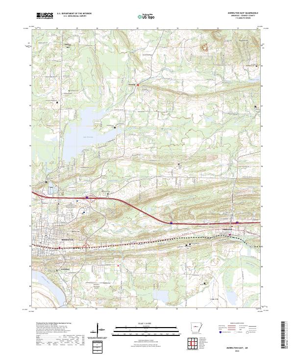
2024 Morrilton East
Conway County, AR
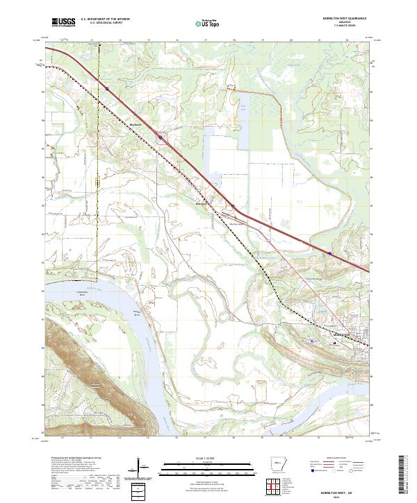
2024 Morrilton West
Conway County, AR
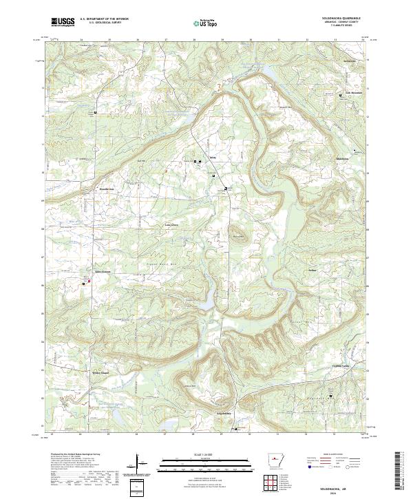
2024 Solgohachia
Conway County, AR