
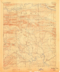
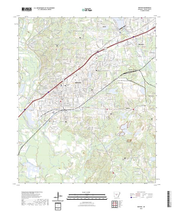
1894 Map of Benton
USGS Topo · Published 1894About this map
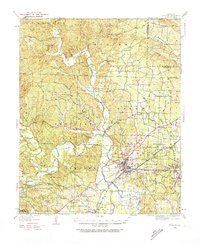
The Saline River and Arkansas River define the watery boundaries of this late 19th-century landscape, where the St. Louis Iron Mountain and Southern R. R. cuts through Benton. The terrain is dominated by a complex system of ridges and peaks, including the striking Maumelle Pinnacles, Flatside Pinnacle, and Shinall Mt. Small late-century settlements such as Brazils, Avilla, and Aplin are scattered throughout the numerous townships, including Holland, Dyer, and Beaver. The map reveals a pre-industrial drainage network where Hurricane Creek, Fourche Creek, and the Fourche La Fave River served as primary landmarks for travelers and settlers moving through the Ouachita foothills toward the state capital region. This survey highlights the era's reliance on river valleys and early rail corridors before the expansion of modern highway systems.
Find a feature on this map
62 named features on this map. Tap any name to fly to it.
Don’t see what you’re looking for? This feature index may not catch every label — zoom into the map to look around manually.
Map Details
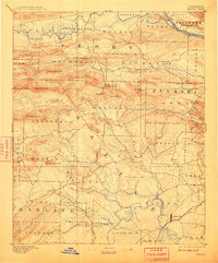
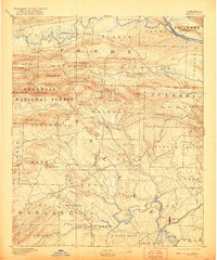
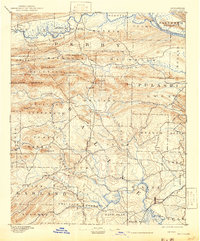
Editions of this 1894 Benton Map
5 editions found
Historical Maps of Little Rock Through Time
12 maps found

1890 Benton
Saline County, AR
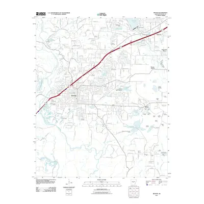
1894 Benton
Saline County, AR
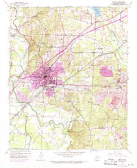
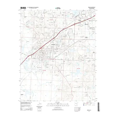
1938 Benton
Saline County, AR

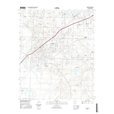
1944 Benton
Saline County, AR
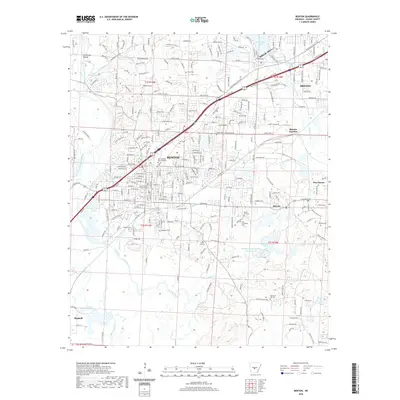
1944 Benton
Saline County, AR
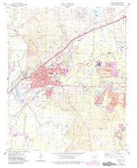
1974 Benton
Saline County, AR
1994 Benton
Saline County, AR
2011 Benton
Saline County, AR
2014 Benton
Saline County, AR
2017 Benton
Saline County, AR
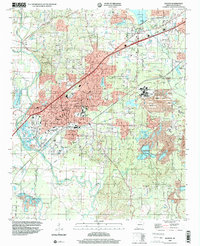
2020 Benton
Saline County, AR
2024 Benton
Saline County, AR