
1894 Map of Hot Springs
USGS Topo · Published 1894About this map
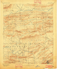
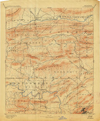
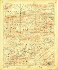
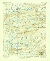
Hot Springs serves as the focal point of this late 19th-century survey, situated at the southern edge of a landscape defined by parallel mountain ranges and river valleys. The town's unique geography is illustrated by features like The Gorge and West Mountain immediately adjacent to the settlement. Northward, the terrain is dominated by the Ouachita River and Fourche La Fave River, which carve paths between the Fourche Mountains and Blue Mountain.
Find a feature on this map
85 named features on this map. Tap any name to fly to it.
Don’t see what you’re looking for? This feature index may not catch every label — zoom into the map to look around manually.
Map Details
Editions of this 1894 Hot Springs Map
5 editions found
Other maps of this area

1879 · Mountain Home
USGS Topo · 1:62,500

1887 · Magazine Mountain #4
USGS Topo · 1:62,500

1887 · Magazine Mountain
USGS Topo · 1:62,500

1888 · Dardanelle #4
USGS Topo · 1:62,500

1888 · Dardanelle #3
USGS Topo · 1:62,500

1889 · Morrilton No. 3
USGS Topo · 1:62,500

1890 · Magazine Mountain
USGS Topo · 1:125,000

1890 · Mount Ida
USGS Topo · 1:125,000

1890 · Benton
USGS Topo · 1:125,000

1890 · Hot Springs
USGS Topo · 1:125,000