
1890 Map of Mount Ida
USGS Topo · Published 1890About this map
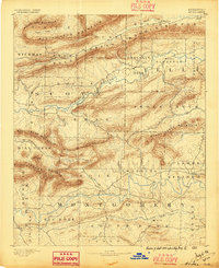
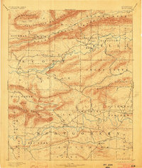
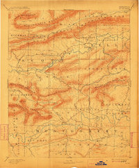
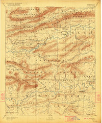
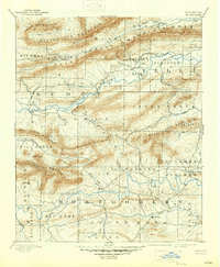
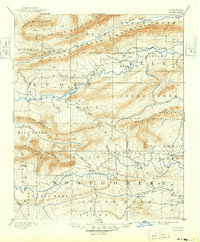
The Washita or Ouachita River winds through the heart of this 1887 survey, carving through the Ouachita Mountains in a period when the region was defined by isolated mountain settlements and the early timber and mining industries. Mt. Ida serves as a primary hub in Montgomery county, while smaller outposts like Silver City and Oden represent the scattered population of the late nineteenth century. The landscape is dominated by significant ridgelines, including Petit Jean Mountain and Fourche Mountain, which dictate the paths of early wagon roads and the courses of numerous waterways like the Fourche La Fave River. To the east, Sulphur Springs and Bluffton sit near the transition to the creek valleys, providing a look at the early township boundaries of Big Fork, South Fork, and Center before modern infrastructure transformed the Ouachita National Forest region.
Find a feature on this map
56 named features on this map. Tap any name to fly to it.
Don’t see what you’re looking for? This feature index may not catch every label — zoom into the map to look around manually.
Map Details
Editions of this 1890 Mount Ida Map
7 editions found
Other maps of this area

1879 · Poteau Mountain
USGS Topo · 1:62,500

1879 · Mountain Home
USGS Topo · 1:62,500

1887 · Poteau Mountain #1
USGS Topo · 1:62,500

1887 · Magazine Mountain #4
USGS Topo · 1:62,500

1887 · Mount Ida #2
USGS Topo · 1:62,500

1887 · Magazine Mountain #3
USGS Topo · 1:62,500

1887 · Magazine Mountain
USGS Topo · 1:62,500

1888 · Dardanelle #3
USGS Topo · 1:62,500

1890 · Magazine Mountain
USGS Topo · 1:125,000

1890 · Fort Smith
USGS Topo · 1:125,000