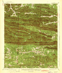
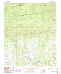
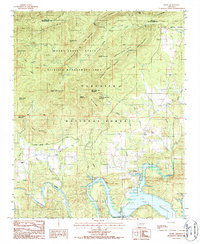
1890 Map of Mt Ida
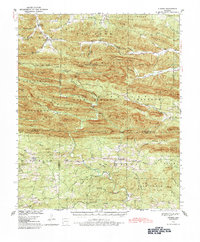
USGS Topo · Published 1949About this map
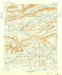
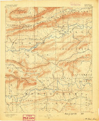
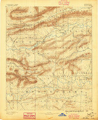
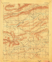
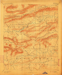
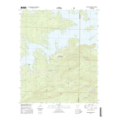
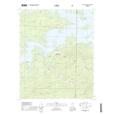
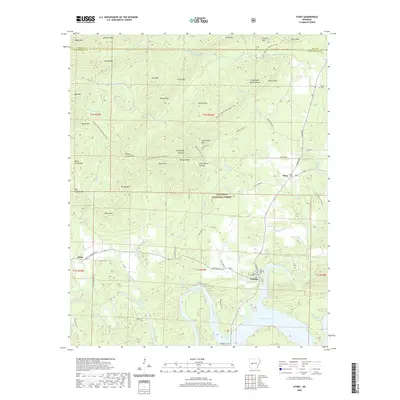
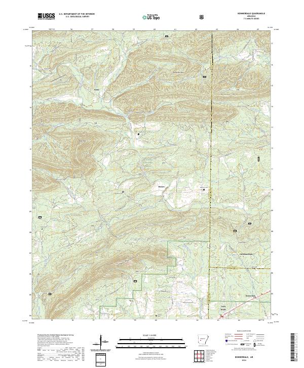
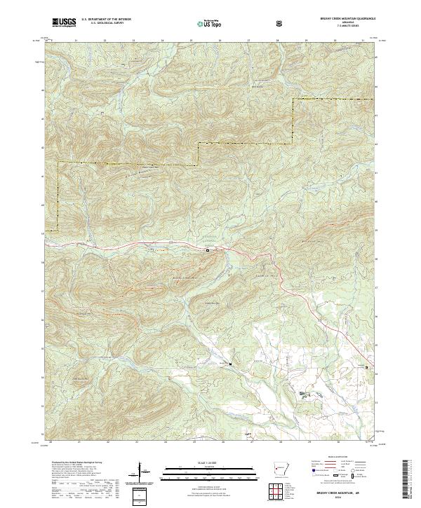
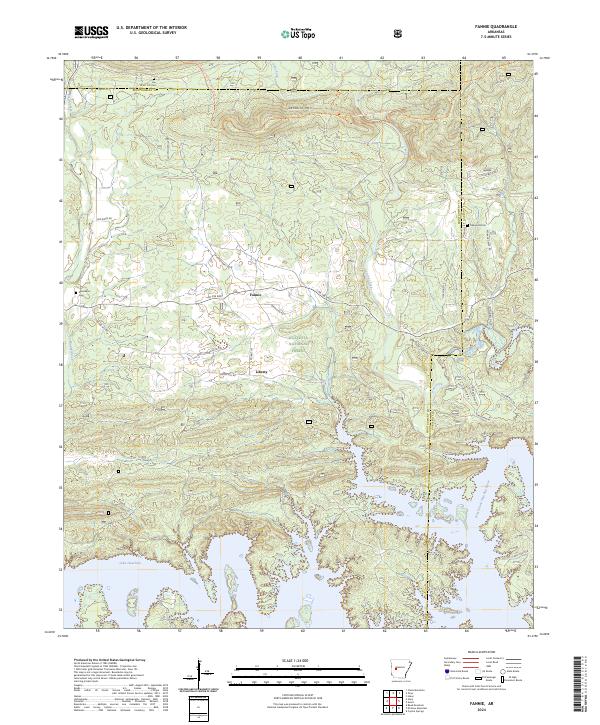
Mt Ida serves as a central point in this late 19th-century survey of western Arkansas, where the landscape is defined by the significant drainage basins of the Ouachita River and the Fourche La Fave River. The settlement pattern reflects the ruggedness of the Ouachita Mountains, with small communities like Olio, Gravelly Hill, and Oden established primarily along the creek valleys that cut between massive ridges. Topographical detail by H. B. Blair highlights the formidable heights of Petit Jean Mountain and White Oak Mountain, which dictated the early road networks and rural boundaries. Local industry and mineral interests are suggested by locations like Silver City and Sulphur Springs, while the isolation of high peaks like Buck Knob illustrates the wilderness character of the region during this era of frontier transition.
Find a feature on this map
62 named features on this map. Tap any name to fly to it.
Don’t see what you’re looking for? This feature index may not catch every label — zoom into the map to look around manually.
Map Details
Editions of this 1890 Mt Ida Map
7 editions found
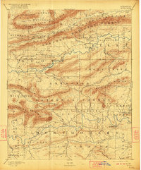
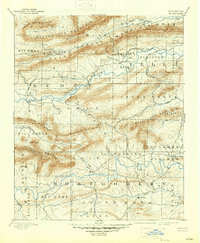
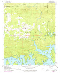
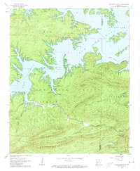
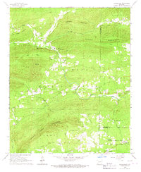
Historical Maps of Mount Ida Through Time
52 maps found
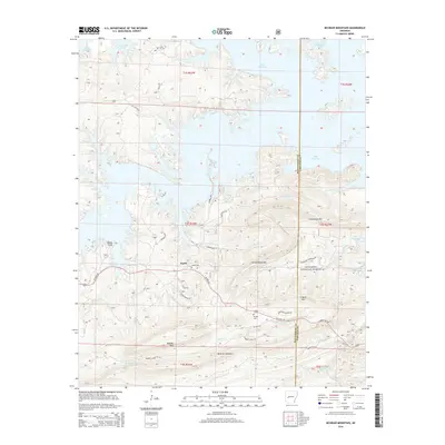
1890 Mt Ida
Montgomery County, AR
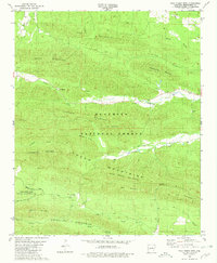
1936 Athens
Montgomery County, AR
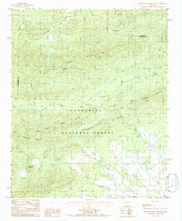
1942 Athens
Montgomery County, AR
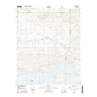
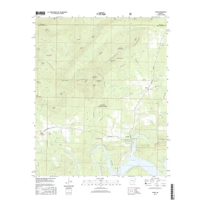
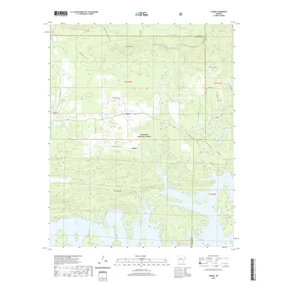
1962 Fannie
Montgomery County, AR
1962 Mc Graw Mountain
Montgomery County, AR
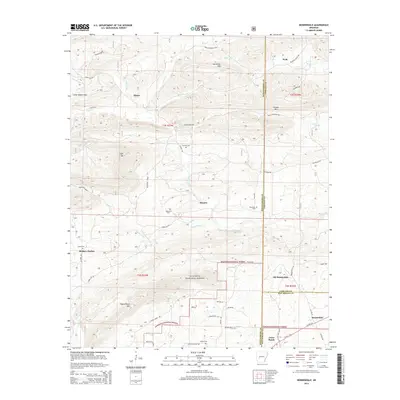
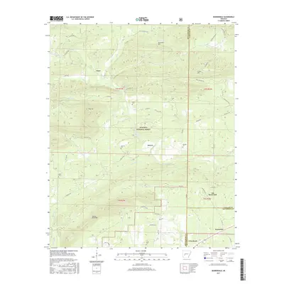
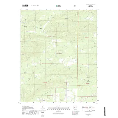
1966 Bonnerdale
Montgomery County, AR
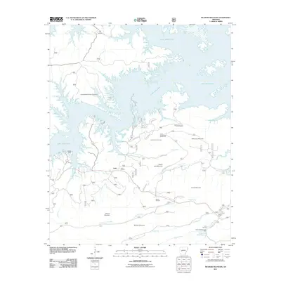
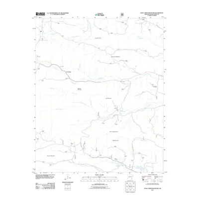
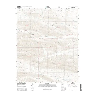
1980 Polk Creek Mtn
Montgomery County, AR

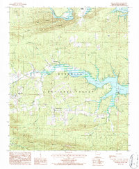
1982 Lake Ouachita
Montgomery County, AR
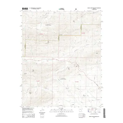
1985 Brushy Creek Mountain
Montgomery County, AR
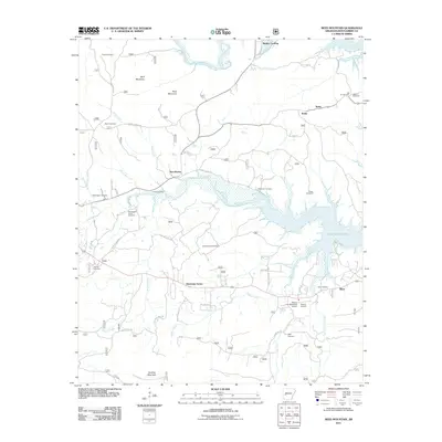
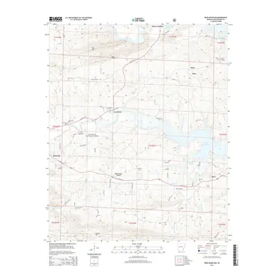
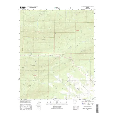
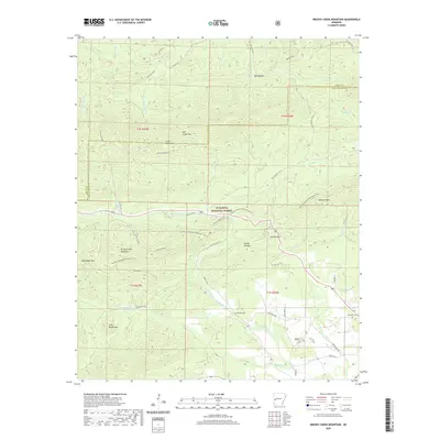
1986 Reed Mountain
Montgomery County, AR
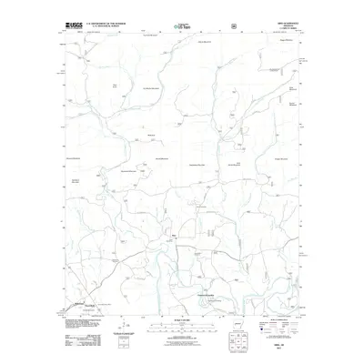
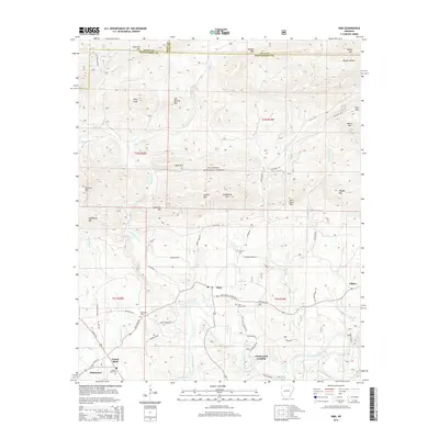
1986 Sims
Montgomery County, AR
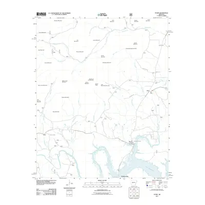
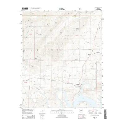
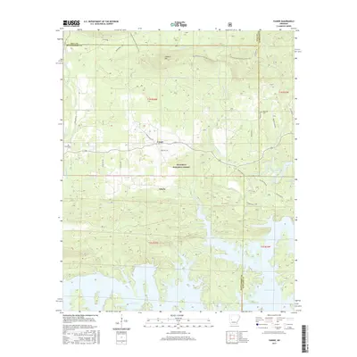
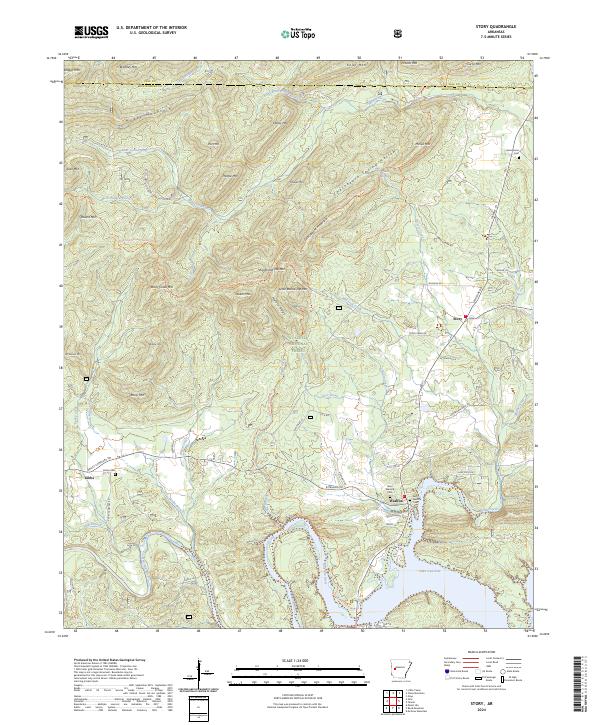
1986 Story
Montgomery County, AR
2011 Bonnerdale
Montgomery County, AR
2011 Brushy Creek Mountain
Montgomery County, AR
2011 Fannie
Montgomery County, AR
2011 McGraw Mountain
Montgomery County, AR
2011 Polk Creek Mountain
Montgomery County, AR
2011 Reed Mountain
Montgomery County, AR
2011 Sims
Montgomery County, AR
2011 Story
Montgomery County, AR
2014 Bonnerdale
Montgomery County, AR
2014 Brushy Creek Mountain
Montgomery County, AR
2014 Fannie
Montgomery County, AR
2014 McGraw Mountain
Montgomery County, AR
2014 Polk Creek Mountain
Montgomery County, AR
2014 Reed Mountain
Montgomery County, AR
2014 Sims
Montgomery County, AR
2014 Story
Montgomery County, AR
2017 Bonnerdale
Montgomery County, AR
2017 Brushy Creek Mountain
Montgomery County, AR
2017 Fannie
Montgomery County, AR
2017 McGraw Mountain
Montgomery County, AR
2017 Polk Creek Mountain
Montgomery County, AR
2017 Reed Mountain
Montgomery County, AR
2017 Sims
Montgomery County, AR
2017 Story
Montgomery County, AR
2020 Bonnerdale
Montgomery County, AR
2020 Brushy Creek Mountain
Montgomery County, AR
2020 Fannie
Montgomery County, AR
2020 McGraw Mountain
Montgomery County, AR
2020 Polk Creek Mountain
Montgomery County, AR
2020 Reed Mountain
Montgomery County, AR
2020 Sims
Montgomery County, AR
2020 Story
Montgomery County, AR
2024 Bonnerdale
Montgomery County, AR
2024 Brushy Creek Mountain
Montgomery County, AR
2024 Fannie
Montgomery County, AR
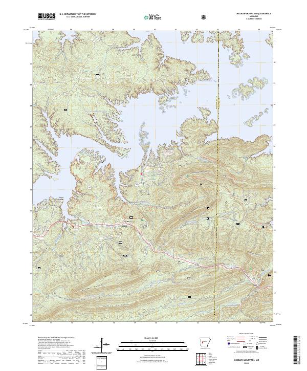
2024 McGraw Mountain
Montgomery County, AR
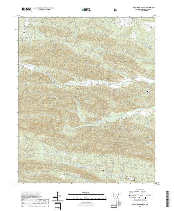
2024 Polk Creek Mountain
Montgomery County, AR
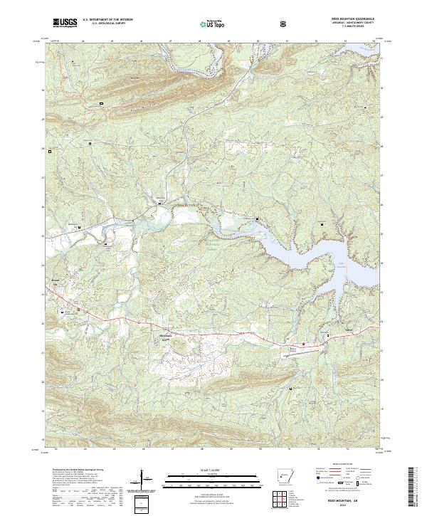
2024 Reed Mountain
Montgomery County, AR
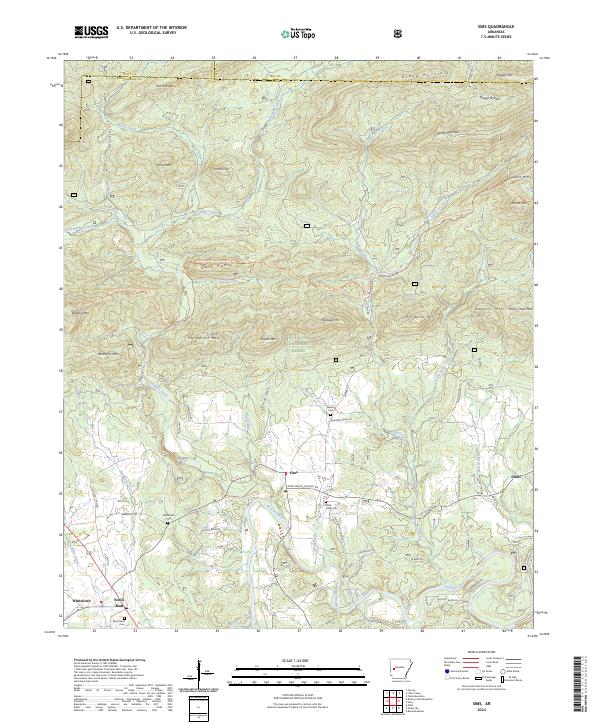
2024 Sims
Montgomery County, AR
2024 Story
Montgomery County, AR