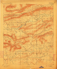
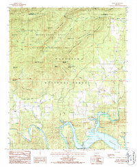
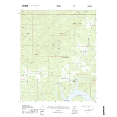
1890 Map of Mt Ida
USGS Topo · Published 1945About this map
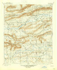
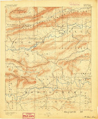
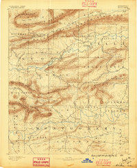
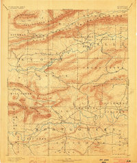
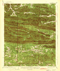
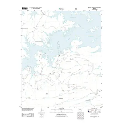
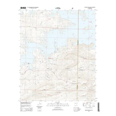
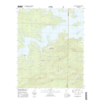
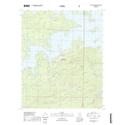
Mt Ida serves as a central hub in this late 19th-century reconnaissance survey, positioned near the South Fork of the Ouachita River. The landscape is dominated by a series of parallel ridges, including White Oak Mountain, Petit Jean Mountain, and Fourche Mountain, which dictate the early settlement patterns of Montgomery, Scott, and Yell counties. These mountains channel the drainage of major systems like the Fourche La Fave River and create isolated valleys where small communities such as Silver City, Oden, and Sulphur Springs emerged. The cartography reflects a pre-industrial era of the Ouachita Mountains, where human presence was concentrated along watercourses and at the foot of prominent peaks like Buck Knob. Geographers Henry Gannett and J. H. Renshawe overseen this mapping, which highlights the transition from upland ridges to the essential river bottomlands.
Find a feature on this map
58 named features on this map. Tap any name to fly to it.
Don’t see what you’re looking for? This feature index may not catch every label — zoom into the map to look around manually.
Map Details
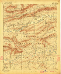
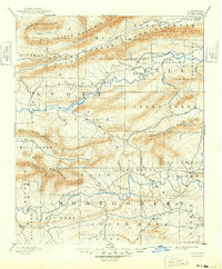
Editions of this 1890 Mt Ida Map
7 editions found
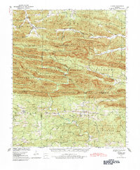
Historical Maps of Mount Ida Through Time
52 maps found
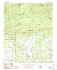
1890 Mt Ida
Montgomery County, AR
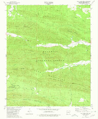
1936 Athens
Montgomery County, AR
1942 Athens
Montgomery County, AR
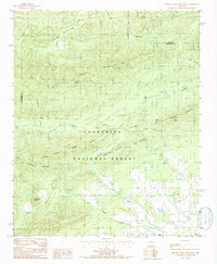
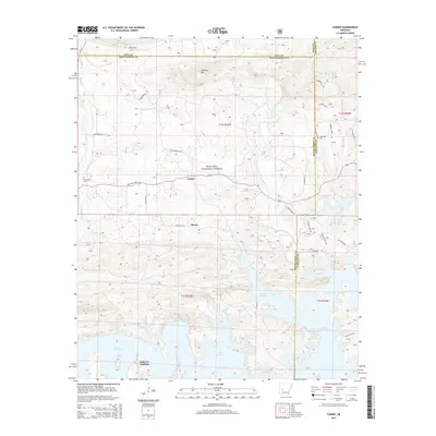
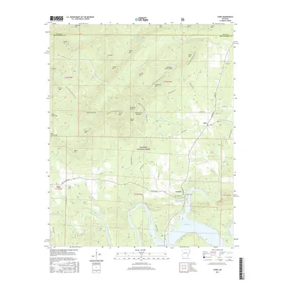
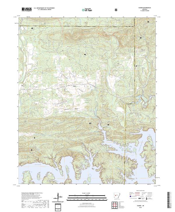
1962 Fannie
Montgomery County, AR
1962 Mc Graw Mountain
Montgomery County, AR
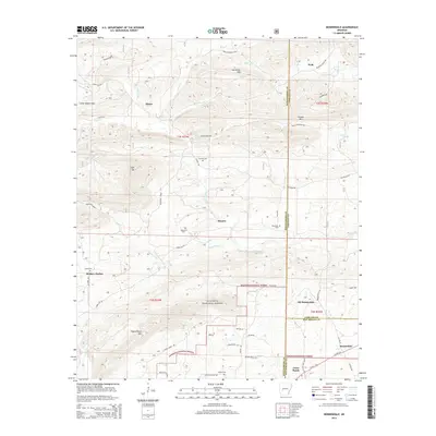
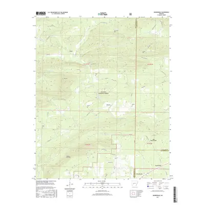
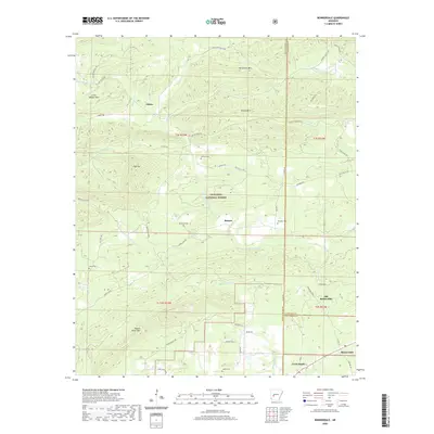
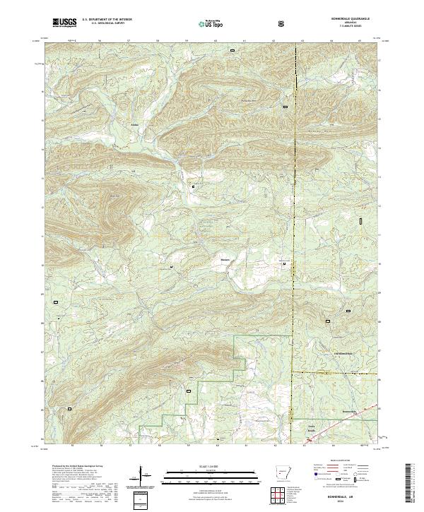
1966 Bonnerdale
Montgomery County, AR
1980 Polk Creek Mtn
Montgomery County, AR

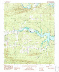
1982 Lake Ouachita
Montgomery County, AR
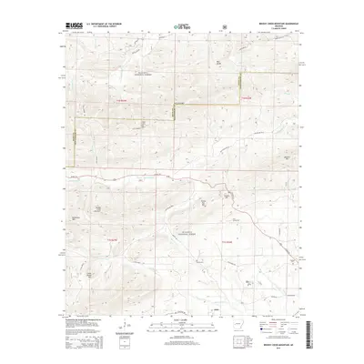
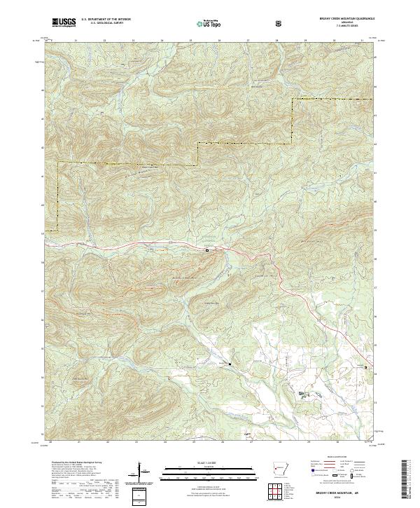
1985 Brushy Creek Mountain
Montgomery County, AR
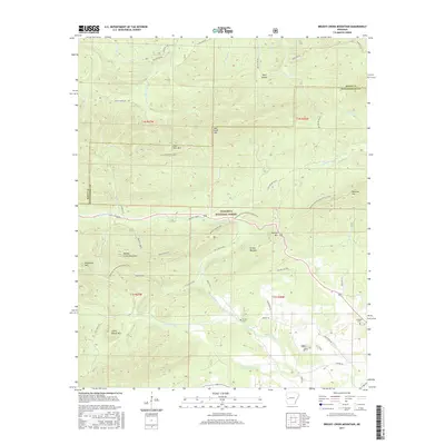
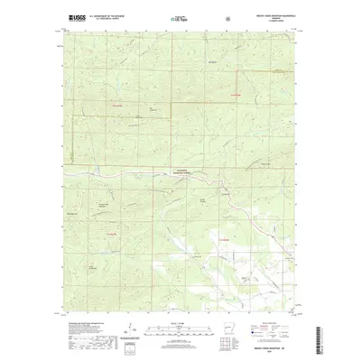
1986 Reed Mountain
Montgomery County, AR
1986 Sims
Montgomery County, AR
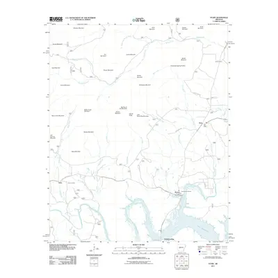
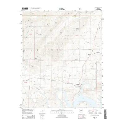
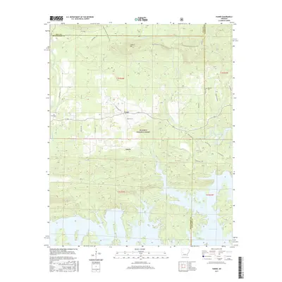
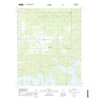
1986 Story
Montgomery County, AR
2011 Bonnerdale
Montgomery County, AR
2011 Brushy Creek Mountain
Montgomery County, AR
2011 Fannie
Montgomery County, AR
2011 McGraw Mountain
Montgomery County, AR
2011 Polk Creek Mountain
Montgomery County, AR
2011 Reed Mountain
Montgomery County, AR
2011 Sims
Montgomery County, AR
2011 Story
Montgomery County, AR
2014 Bonnerdale
Montgomery County, AR
2014 Brushy Creek Mountain
Montgomery County, AR
2014 Fannie
Montgomery County, AR
2014 McGraw Mountain
Montgomery County, AR
2014 Polk Creek Mountain
Montgomery County, AR
2014 Reed Mountain
Montgomery County, AR
2014 Sims
Montgomery County, AR
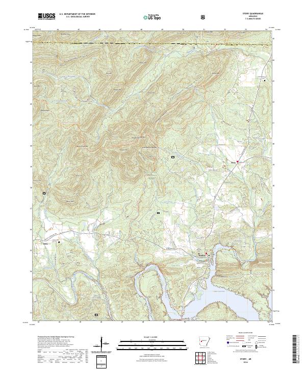
2014 Story
Montgomery County, AR
2017 Bonnerdale
Montgomery County, AR
2017 Brushy Creek Mountain
Montgomery County, AR
2017 Fannie
Montgomery County, AR
2017 McGraw Mountain
Montgomery County, AR
2017 Polk Creek Mountain
Montgomery County, AR
2017 Reed Mountain
Montgomery County, AR
2017 Sims
Montgomery County, AR
2017 Story
Montgomery County, AR
2020 Bonnerdale
Montgomery County, AR
2020 Brushy Creek Mountain
Montgomery County, AR
2020 Fannie
Montgomery County, AR
2020 McGraw Mountain
Montgomery County, AR
2020 Polk Creek Mountain
Montgomery County, AR
2020 Reed Mountain
Montgomery County, AR
2020 Sims
Montgomery County, AR
2020 Story
Montgomery County, AR
2024 Bonnerdale
Montgomery County, AR
2024 Brushy Creek Mountain
Montgomery County, AR
2024 Fannie
Montgomery County, AR
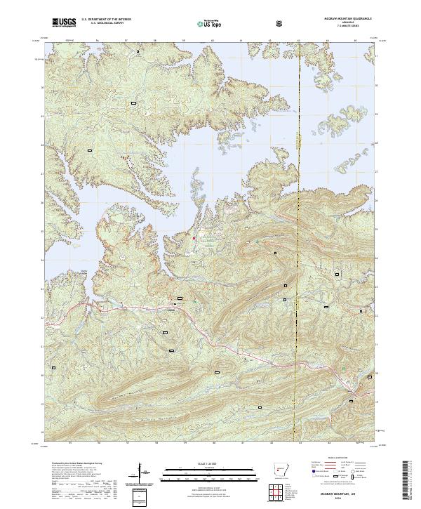
2024 McGraw Mountain
Montgomery County, AR
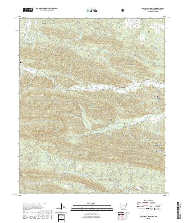
2024 Polk Creek Mountain
Montgomery County, AR
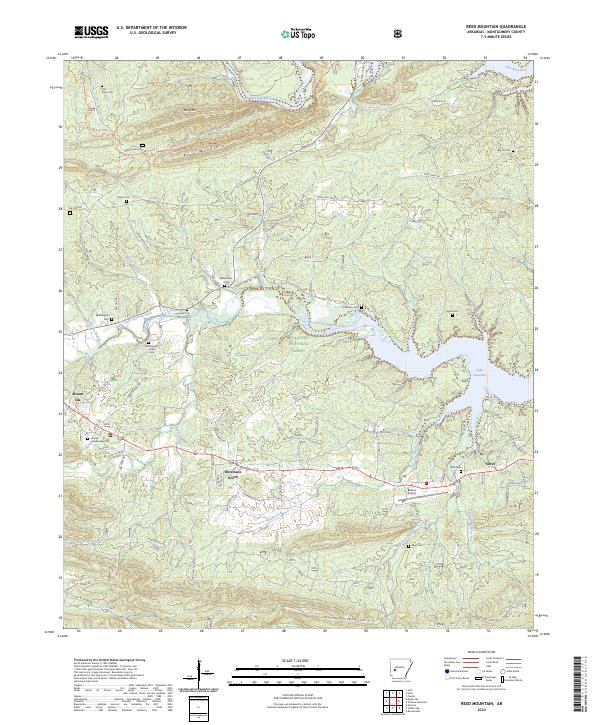
2024 Reed Mountain
Montgomery County, AR
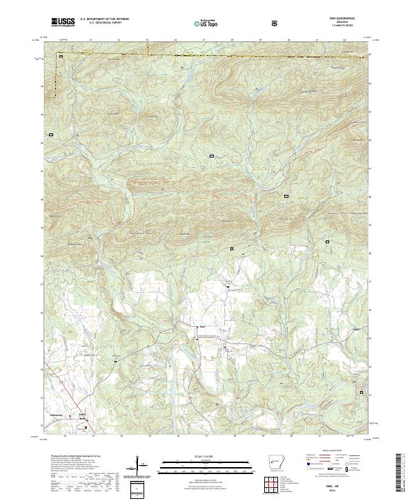
2024 Sims
Montgomery County, AR
2024 Story
Montgomery County, AR