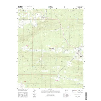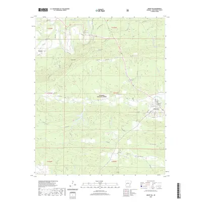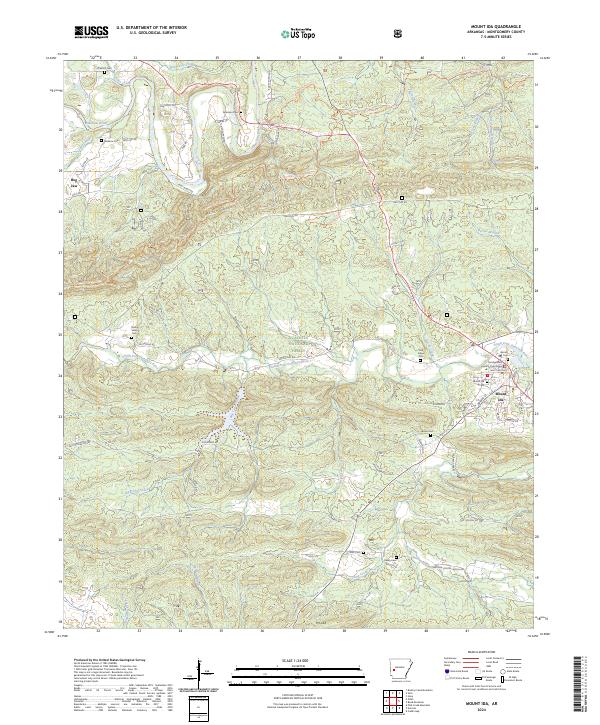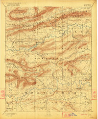
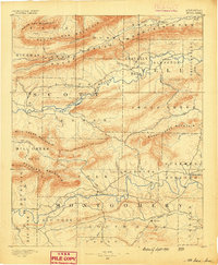
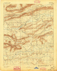
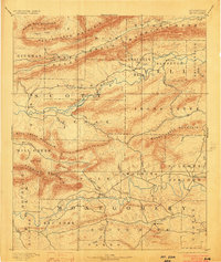
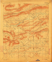
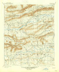
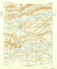
1890 Map of Mount Ida
USGS Topo · Published 1923About this map
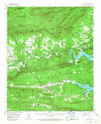
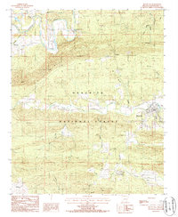
Mt Ida serves as a central hub within this late 19th-century survey of western Arkansas, where the Ouachita River winds through a landscape of steep ridges and creek valleys. This reprint of the 1887 survey captures a remote region transitioning into federally managed lands, prominently featuring the Arkansas National Forest and the Ouachita National Forest. Settlements like Silver City and Sulphur Springs are documented alongside scattered post offices at Olio and Walnut Tree. The terrain is defined by massive east-west ridges such as Dutch Creek Mountain and Fourche Mountain, which dictated the early road networks and settlement patterns. Genealogists can trace family locations along watercourses like Dutch Creek and Irons Fork, while landmarks like Buck Knob provide fixed points in the wilderness of Montgomery, Yell, and Polk counties.
Find a feature on this map
48 named features on this map. Tap any name to fly to it.
Don’t see what you’re looking for? This feature index may not catch every label — zoom into the map to look around manually.
Map Details
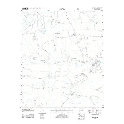
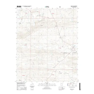
Editions of this 1890 Mount Ida Map
7 editions found
Historical Maps of Mount Ida Through Time
7 maps found