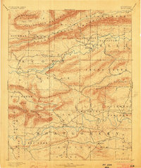
1890 Map of Mount Ida
USGS Topo · Published 1903About this map
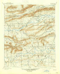
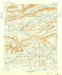
Mt Ida serves as the focal point for this late 19th-century survey of the Ouachita Mountains region, where deep valleys are carved by the Washita or Ouachita River and the Fourche La Fave River. The settlement pattern follows these watercourses and the gaps between prominent ridges such as Dutch Creek Mountain and Fourche Mountain. Notable local centers like Silver City and Sulphur Springs are documented alongside smaller outposts such as Walnut Tree and Oden. The geography reveals a landscape defined by its hydrography, with dozens of named tributaries including Irons Fork, Cedar Creek, and Dutch Creek providing the lifeblood for early mountain communities. This period shows the region before modern highway development, with land divisions for Scott, Yell, and Montgomery counties clearly delineated across the rugged interior.
Find a feature on this map
62 named features on this map. Tap any name to fly to it.
Don’t see what you’re looking for? This feature index may not catch every label — zoom into the map to look around manually.
Map Details
Editions of this 1890 Mount Ida Map
7 editions found
Other maps of this area

1879 · Poteau Mountain
USGS Topo · 1:62,500

1879 · Mountain Home
USGS Topo · 1:62,500

1887 · Poteau Mountain #1
USGS Topo · 1:62,500

1887 · Magazine Mountain #4
USGS Topo · 1:62,500

1887 · Mount Ida #2
USGS Topo · 1:62,500

1887 · Magazine Mountain #3
USGS Topo · 1:62,500

1887 · Magazine Mountain
USGS Topo · 1:62,500

1888 · Dardanelle #3
USGS Topo · 1:62,500

1890 · Magazine Mountain
USGS Topo · 1:125,000

1890 · Mount Ida
USGS Topo · 1:125,000