
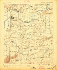
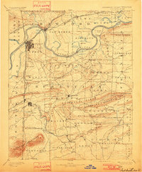
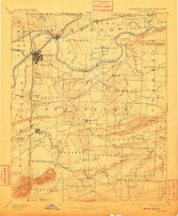
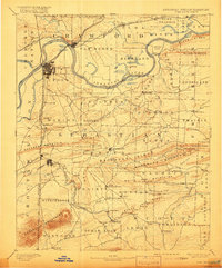
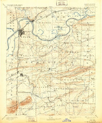
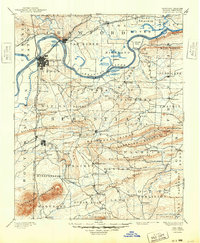
1890 Map of Fort Smith
USGS Topo · Published 1890About this map
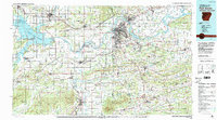
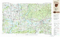
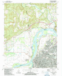
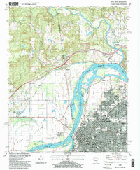
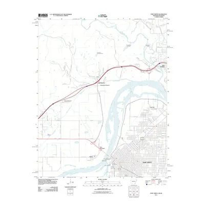
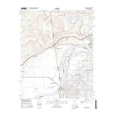
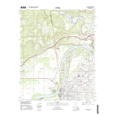
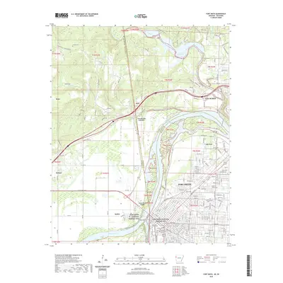
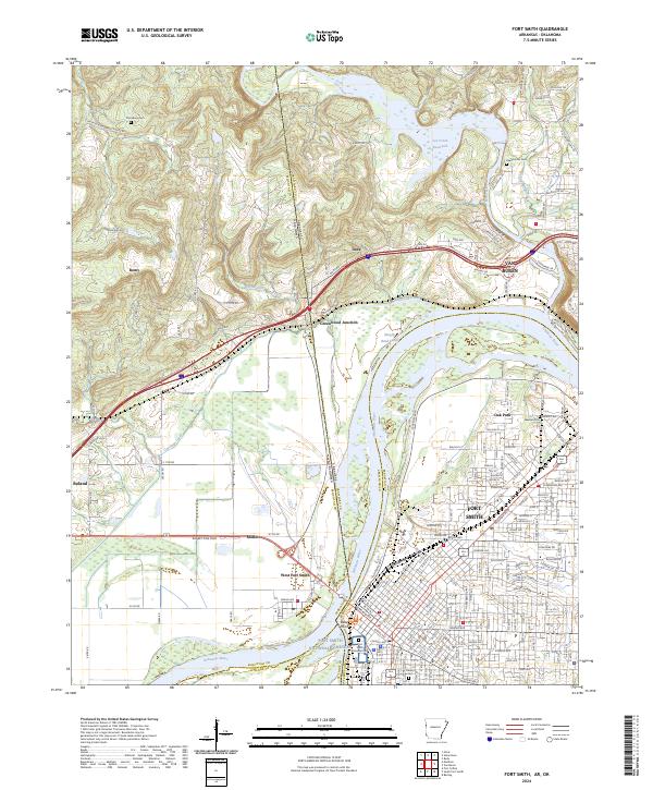
Fort Smith and Van Buren serve as the primary hubs along the Arkansas River in this late nineteenth-century survey, which details the complex borderland between Arkansas and the Cherokee Nation. The landscape is defined by the sharp convergence of river-valley commerce and the high ridges of the White Oak Mountains and Sugar Loaf Mountains. Transportation is dominated by the St. Louis and San Francisco Railroad and the Kansas and Arkansas Valley Railroad, which connect the industrial growth of Hackett and Huntington to the broader region.
Find a feature on this map
112 named features on this map. Tap any name to fly to it.
Don’t see what you’re looking for? This feature index may not catch every label — zoom into the map to look around manually.
Map Details
Editions of this 1890 Fort Smith Map
7 editions found
Historical Maps of Fort Smith Through Time
18 maps found

1879 Fort Smith
Sebastian County, AR
1890 Fort Smith
Sebastian County, AR

1943 Fort Smith
Sebastian County, AR

1946 Fort Smith
Sebastian County, AR
1947 Fort Smith
Sebastian County, AR
1951 Fort Smith
Sebastian County, AR

1965 Fort Smith
Sebastian County, AR

1967 Fort Smith
Sebastian County, AR

1976 Fort Smith
Sebastian County, AR
1978 Fort Smith
Sebastian County, AR
1978 Fort Smith
Sebastian County, AR
1987 Fort Smith
Sebastian County, AR
1997 Fort Smith
Sebastian County, AR
2011 Fort Smith
Sebastian County, AR
2014 Fort Smith
Sebastian County, AR
2017 Fort Smith
Sebastian County, AR
2020 Fort Smith
Sebastian County, AR
2024 Fort Smith
Sebastian County, AR