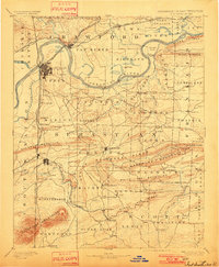
1890 Map of Fort Smith
USGS Topo · Published 1901About this map
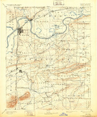
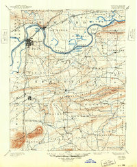
The Arkansas River serves as the primary artery for commerce and navigation in this late nineteenth-century landscape, dividing Van Buren from the growing urban grid of Fort Smith. The topography transition is stark, moving from the river flats of Richland and Arbuckle Island into the prominent ridges of the Backbone Mountain and the Sugarloaf Mountains. The map is a critical record of the frontier's edge, clearly delineating the boundary with the Cherokee Nation and the Choctaw Nation just west of the state line.
Find a feature on this map
113 named features on this map. Tap any name to fly to it.
Don’t see what you’re looking for? This feature index may not catch every label — zoom into the map to look around manually.
Map Details
Editions of this 1890 Fort Smith Map
7 editions found

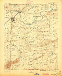
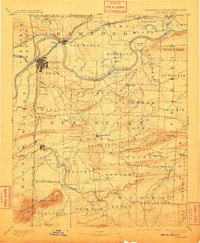
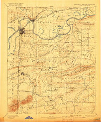
Other maps of this area

1879 · Poteau Mountain
USGS Topo · 1:62,500

1879 · Cravens
USGS Topo · 1:62,500

1879 · Fort Smith
USGS Topo · 1:62,500

1887 · Poteau Mountain #1
USGS Topo · 1:62,500

1887 · Van Buren
USGS Topo · 1:62,500

1887 · Mount Ida #2
USGS Topo · 1:62,500

1887 · Magazine Mountain #2
USGS Topo · 1:62,500

1887 · Magazine Mountain #3
USGS Topo · 1:62,500

1887 · Watalula
USGS Topo · 1:62,500

1887 · Magazine Mountain
USGS Topo · 1:62,500