
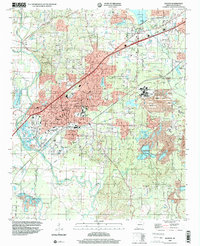
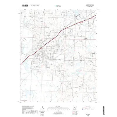
1890 Map of Benton
USGS Topo · Published 1890About this map
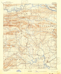
Benton serves as the primary hub in this late nineteenth-century survey, situated at the crossroads of the North Fork Saline River and emerging rail lines. The landscape is defined by the sharp topographic relief of the Ouachita Mountains foothills, featuring distinctive landmarks such as Flatside Pinnacle, North Fk Pinnacle, and the Maumelle Pinnacles. These peaks overlook a network of watercourses including the Maumelle River and Little Maumelle River.
Find a feature on this map
63 named features on this map. Tap any name to fly to it.
Don’t see what you’re looking for? This feature index may not catch every label — zoom into the map to look around manually.
Map Details
Editions of this 1890 Benton Map
This is the sole edition of this map. No revisions or reprints were ever made.
Historical Maps of Little Rock Through Time
12 maps found
1890 Benton
Saline County, AR
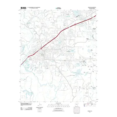
1894 Benton
Saline County, AR
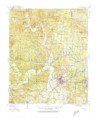
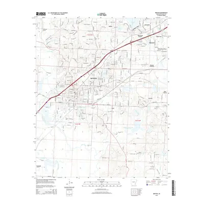
1938 Benton
Saline County, AR

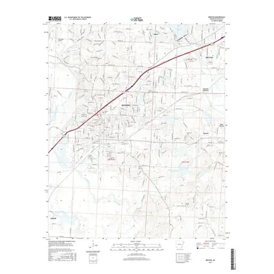
1944 Benton
Saline County, AR
1944 Benton
Saline County, AR
1974 Benton
Saline County, AR
1994 Benton
Saline County, AR
2011 Benton
Saline County, AR
2014 Benton
Saline County, AR
2017 Benton
Saline County, AR
2020 Benton
Saline County, AR
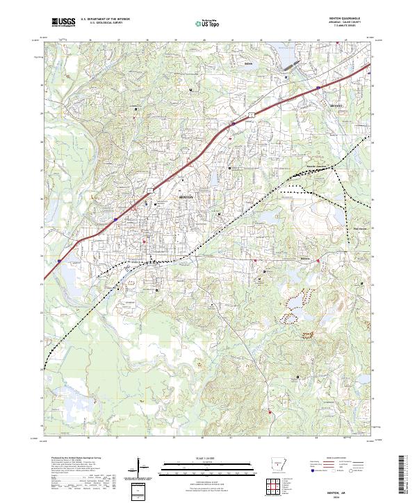
2024 Benton
Saline County, AR