1894 Map of Benton
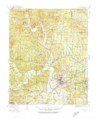
USGS Topo · Published 1943About this map
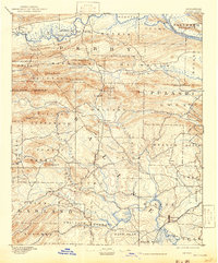
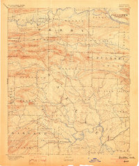
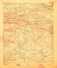
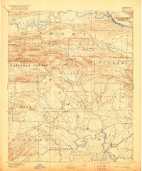
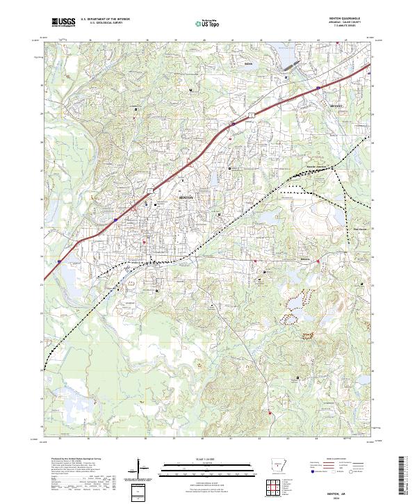
The Saline River corridor at Benton serves as the focal point for this late nineteenth-century reconnaissance, conducted by Henry Gannett and J.H.Renshawe. The landscape transitions from the river lowlands to the ridges of the Ouachita National Forest, where named peaks like Flatside Pinnacle and Maumelle Pinnacles provide distinct landmarks across the Pulaski and Saline county lines. Small settlements such as Brazils, Avilla, and Aplin are scattered among a complex network of waterways, including the Alum Fork and Hurricane Creek. The map documents a period before modern infrastructure, where the terrain is defined by its natural drainage patterns, from the Fourche La Fave River in the north to the Caney Creek bottomlands in the south. This survey captures the rural character of central Arkansas when local life followed the bends of the Arkansas River and its numerous tributaries.
Find a feature on this map
65 named features on this map. Tap any name to fly to it.
Don’t see what you’re looking for? This feature index may not catch every label — zoom into the map to look around manually.
Map Details
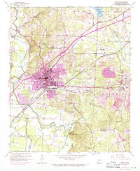
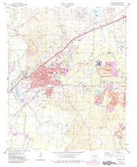
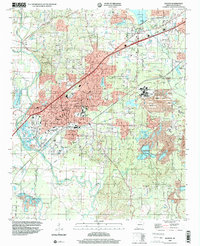
Editions of this 1894 Benton Map
5 editions found

Historical Maps of Little Rock Through Time
12 maps found

1890 Benton
Saline County, AR
1894 Benton
Saline County, AR
1938 Benton
Saline County, AR

1944 Benton
Saline County, AR
1944 Benton
Saline County, AR
1974 Benton
Saline County, AR
1994 Benton
Saline County, AR
2011 Benton
Saline County, AR
2014 Benton
Saline County, AR
2017 Benton
Saline County, AR
2020 Benton
Saline County, AR
2024 Benton
Saline County, AR