
Loading...
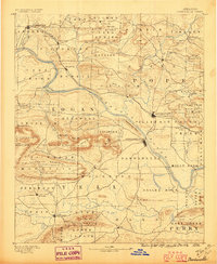
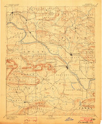
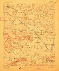
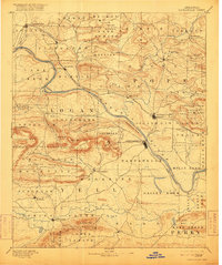
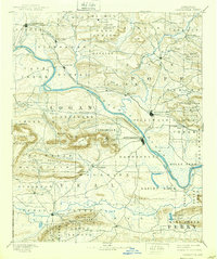
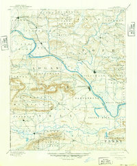
Loading map...1890 Map of Dardanelle
USGS Topo · Published 1890About this map
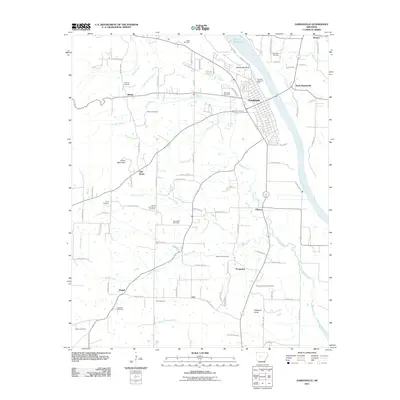
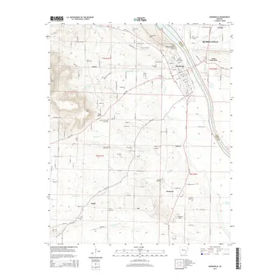
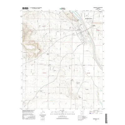
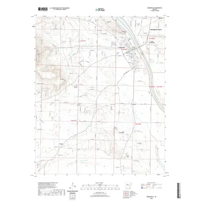
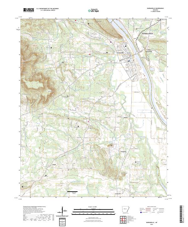
The Arkansas River serves as the central artery for this 1888 survey, winding southeast past Dardanelle Rock and the riverfront settlements of Dardanelle and Russellville. In this era, the landscape is defined by its topographic extremes, from the low-lying Holly Bend to the prominent heights of Mt. Nebo and Chickalah Mountain. The map records an intricate network of rural communities, including Lutherville, London, and Scottsville, many situated along the banks of Illinois Bayou and Big Piney creek.
Find a feature on this map
92 named features on this map. Tap any name to fly to it.
Don’t see what you’re looking for? This feature index may not catch every label — zoom into the map to look around manually.
Map Details
Date Portrayed1890
Date Published1890
PublisherU.S. Geological Survey
Map TypeTopographic
Scale1:125,000
Physical Dimensions15.8 x 19.8 inches
Editions of this 1890 Dardanelle Map
7 editions found
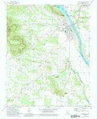
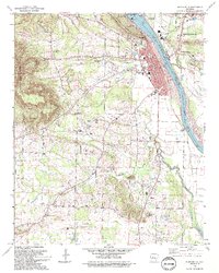
Historical Maps of Russellville Through Time
8 maps found
Featured Locations
Source Details
SourceU.S. Geological Survey
CopyrightPublic Domain