Old Maps of Dardanelle, Arkansas
Explore 23 old maps of Dardanelle, spanning from 1888 to today. These high-resolution historic maps reveal how streets, neighborhoods, landmarks, and natural features evolved over time — perfect for genealogy, metal detecting, research, and local history exploration.
What you can do with these maps:
- See how Dardanelle changed over time: Compare historical maps to modern-day views to trace roads, homesites, rail lines & more.
- View detailed metadata: Each map includes creators, publishers, year, scale, and archive source.
- Overlay maps with satellite & LiDAR: Visualize the past alongside modern tools to explore terrain & human change.
- Trusted historical sources: Maps sourced from the USGS, Library of Congress, and other archives.
- Access maps your way: View online, download high-res files, or order prints for personal or research use.
Start exploring old maps of Dardanelle to uncover forgotten places, hidden landmarks, and the deep history beneath your feet.
Dardanelle, AR maps
(23)- 1888 Map of Dardanelle #4
 1888 Dardanelle #41888 Print · USGSDardanelle and the Arkansas River valley are shown here in the late nineteenth century as the regional rail network began to expand. Genealogists and historians can trace early settlements and landings like Centerville, Galla Rock, and Morristown.
 - 1888 Map of Dardanelle #1
 1888 Dardanelle #11888 Print · USGSPope County at the end of the 1880s was a landscape of rising ridges and vital new rail connections. Family historians can trace early homesteads near Dover and Scottsville, or follow the old tracks of the Little Rock and Fort Smith Railway.
 - 1890 Map of Dardanelle
 1890 Dardanelle1890 Print · USGSThe Arkansas River valley was a primary corridor of settlement in the 1890s, anchored by the river towns of Dardanelle and Russellville. Genealogists can locate early homesteads near Mt. Nebo, Lutherville, or the old post office at Chickalah.7 unique versions available
 - 1956 Map of Russellville
 1956 Russellville1956 Print · USGSThe Arkansas River valley and the surrounding Boston Mountains are captured here in the mid-fifties, showing a landscape of small timber towns and new reservoirs. Genealogists can trace family roots through upland settlements like Pelsor and Witts Springs or locate the campus of Arkansas Polytechnic College.2 unique versions available
 - 1963 Map of Russellville West, 1964 Print
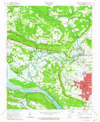 1963 Russellville West1964 Print · USGSThe river valley and western Russellville appear here during a period of major change as the Dardanelle Reservoir reshaped the landscape. Researchers can trace the INDIAN TREATY BOUNDARY, locate old family plots at Swann Cem, or study the grounds of Arkansas Polytechnic College.2 unique versions available
 - 1964 Map of Russellville
 1964 Russellville1964 Print · USGSMid-century Central Arkansas is defined here by the river-valley towns and the surrounding mountain ranges before the full expansion of the interstate system. Genealogists and historians can trace rail-town development along the Missouri Pacific Railroad and locate landmarks like Arkansas Polytechnic College or Petit Jean State Park.
 - 1972 Map of Dardanelle, 1974 Print
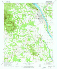 1972 Dardanelle1974 Print · USGSThe Arkansas River valley comes alive in the early seventies as a hub of hydroelectric power and river navigation. Trace family history through dozens of rural sites like Brierley Cem, New Hope Ch, and the high-elevation views at Mount Nebo.4 unique versions available
 - 1977 Map of Russellville
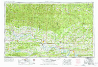 1977 Russellville1977 Print · USGSThe Arkansas River Valley and surrounding Ozark Mountains are documented here during a period of significant postwar growth and infrastructure development. Genealogists and researchers can locate family landmarks such as Mount Carmel Cem, St Josephs Church, and several remote Coal Mine sites along the Missouri Pacific RR line.
 - 1984 Map of Russellville
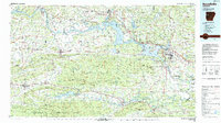 1984 Russellville1984 Print · USGSThe Arkansas River valley in the mid-eighties shows a landscape defined by the rise of Lake Dardanelle and the enduring presence of the Ozark National Forest. Researchers can find historical institutions like Arkansas Tech Univ and Sacred Heart Church or trace the routes of the Missouri Pacific RR.2 unique versions available
 - 1984 Map of Russellville
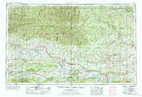 1984 Russellville1984 Print · USGSThe Arkansas River valley was undergoing significant change in the 1950s as transportation and water management reshaped the region from Russellville to Conway. Researchers can trace the era's rail networks like the Missouri Pacific RR and explore landmarks like Magazine Mountain and Petit Jean State Park.
 - 1992 Map of Russellville, 1993 Print
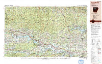 1992 Russellville1993 Print · USGSCentral Arkansas in the early nineties shows a landscape defined by the Arkansas River valley and the surrounding national forests. Trace the development of river towns like Russellville and Dardanelle alongside landmarks such as Lake Dardanelle and Magazine Mtn.
 - 1993 Map of Russellville West
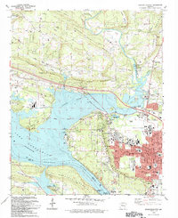 1993 Russellville West1993 Print · USGSRussellville and the Arkansas River valley are captured in the early nineties as the city grew around Arkansas Tech University. Local historians can trace the Old Indian Treaty Boundary and locate family landmarks like Booher Cem and Damascus Ch.
 - 1993 Map of Dardanelle
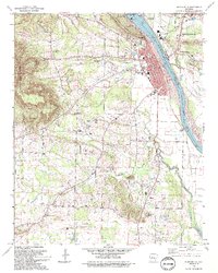 1993 Dardanelle1993 Print · USGSThe Arkansas River valley comes alive in the early 1990s as the riverfront hubs of Dardanelle and Russellville expanded around the lock and dam. Genealogists can trace family names at Brearley Cem and Louvenia Cem or locate the old Gum Springs Cumberland Ch.
 - 2011 Map of Dardanelle, 2011 Print
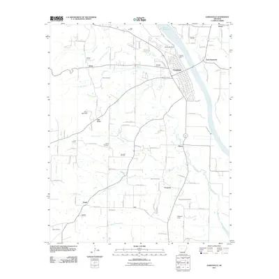 2011 Dardanelle2011 Print · USGSThe Arkansas River valley comes into focus during the early 2000s, centered on the historic river town of Dardanelle. Researchers can trace dozens of local burial sites including Banks Hill Family Cemetery and landmarks like Dardanelle Rock.
 - 2011 Map of Russellville West, 2011 Print
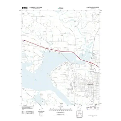 2011 Russellville West2011 Print · USGSThe western reaches of RUSSELLVILLE meet the Arkansas River during a period of steady growth. Researchers can trace local heritage through numerous cemeteries like Oakland Cemetery and Mission Cemetery, or explore landmarks like Arkansas Technical University.
 - 2014 Map of Russellville West, 2014 Print
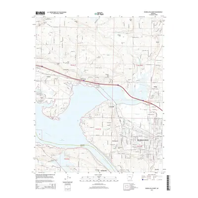 2014 Russellville West2014 Print · USGSThe riverfront and uplands west of Russellville are captured here during a period of modern growth and industrial expansion. Genealogists and local historians can trace the locations of Oakland Cem, the historic Old Wire Rd E, and the riverside site of Norristown.
 - 2014 Map of Dardanelle, 2014 Print
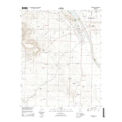 2014 Dardanelle2014 Print · USGSThe Arkansas River valley in 2014 shows the established riverfront cities and numerous rural family burial grounds. Local researchers can trace family roots through the Oak Grove Methodist Church Cem, Thompson Family Cem, and smaller settlements like Prosperity and Pisgah.
 - 2017 Map of Dardanelle, 2017 Print
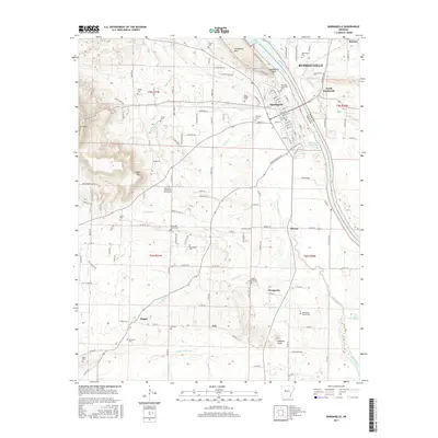 2017 Dardanelle2017 Print · USGSThe Arkansas River valley comes alive in the late 2010s, showing the growing communities of Dardanelle and Russellville at the river's edge. Researchers can locate numerous family burial grounds and landmarks like Norristown Cem, Pisgah, and Dardanelle Rock.
 - 2017 Map of Russellville West, 2017 Print
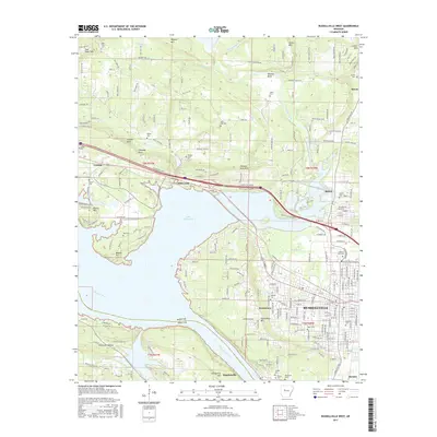 2017 Russellville West2017 Print · USGSRussellville and the Arkansas River valley are shown here in the late twenty-tens as the city expanded toward Lake Dardanelle. Researchers can locate several burial grounds including Oakland Cem, Old Post, and the Arkansas Tech Univ campus.
 - 2020 Map of Russellville West, 2020 Print
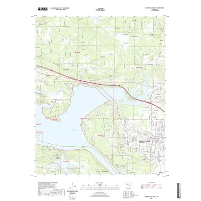 2020 Russellville West2020 Print · USGSThe Arkansas River valley comes alive in this 2020 map of the Russellville area, showing the city's growth alongside historic rural settlements. Genealogists and local historians can trace civic landmarks like the Pope County Courthouse or search for family names at Washburn Cemetery and the Ouita Coal Company.
 - 2020 Map of Dardanelle, 2020 Print
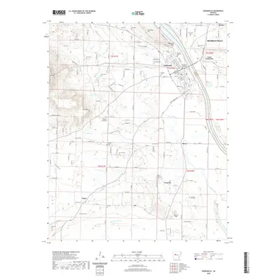 2020 Dardanelle2020 Print · USGSThe Arkansas River corridor at the turn of the decade shows the shared geography of Dardanelle and Russellville. Researchers can trace local heritage through numerous family burial sites like Lyons Cem and landmarks such as the Yell County - Dardanelle Courthouse.
 - 2024 Map of Dardanelle, 2024 Print
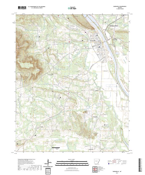 2024 Dardanelle2024 Print · USGSDardanelle and the Arkansas River Valley are captured here in a moment of continued growth and rural preservation. Researchers can trace family roots through numerous sites like Banks Hill Family Cem, the Dardanelle Courthouse, and the settlement at Centerville.
 - 2024 Map of Russellville West, 2024 Print
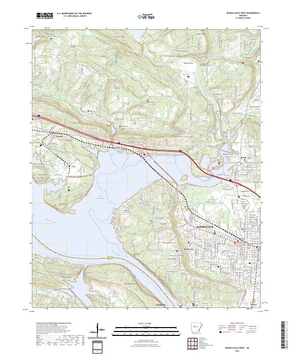 2024 Russellville West2024 Print · USGSRussellville and the Arkansas River valley are shown in detail during the early 2020s, highlighting the regional importance of Arkansas Tech University. Researchers can trace old family burial grounds like Ball Hill Cem and Mission Cem or locate landmarks like Norristown Mtn and Williamson Ford.
End of results
Showing maps 1-23 of 23
Top cities near Dardanelle
- Russellville historical maps
- Atkins historical maps
- Danville historical maps
- Pottsville historical maps
- Lamar historical maps
- Dover historical maps
See more
Frequently asked questions
- What are the different types of historical maps available for Dardanelle?
- What is the oldest map of Dardanelle?
- Where can I purchase historical maps of Dardanelle for my home or office?
- Where can I download high-res historical maps of Dardanelle?
- Are there historical topographic maps available for Dardanelle?
- Is there historical aerial imagery available for Dardanelle?
- Where are historical maps of Dardanelle sourced from?