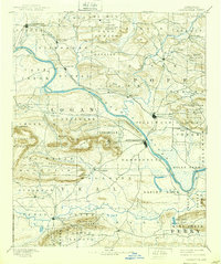
1890 Map of Dardanelle
USGS Topo · Published 1939About this map
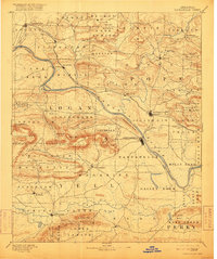
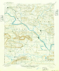
The Arkansas River serves as the central artery for this late 19th-century survey, dividing the landscape between the foothills of the Ozarks to the north and the rising peaks of the Ouachitas to the south. Prominent river settlements such as Dardanelle and Russellville anchor the region, with the striking geological formation of Dardanelle Rock marking a significant river bend. The map illustrates a period when community identity was tied closely to township boundaries like Galla Rock, Delaware, and Fergeson.
Find a feature on this map
80 named features on this map. Tap any name to fly to it.
Don’t see what you’re looking for? This feature index may not catch every label — zoom into the map to look around manually.
Map Details
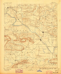
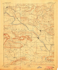
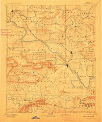
Editions of this 1890 Dardanelle Map
7 editions found

Other maps of this area

1879 · Mountain Home
USGS Topo · 1:62,500

1879 · Washington
USGS Topo · 1:62,500

1887 · Magazine Mountain #1
USGS Topo · 1:62,500

1887 · Smyrna
USGS Topo · 1:62,500

1887 · Magazine Mountain #4
USGS Topo · 1:62,500

1887 · Magazine Mountain
USGS Topo · 1:62,500

1888 · Dardanelle #4
USGS Topo · 1:62,500

1888 · Dardanelle #2
USGS Topo · 1:62,500

1888 · Dardanelle #1
USGS Topo · 1:62,500

1888 · Dardanelle #3
USGS Topo · 1:62,500