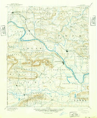
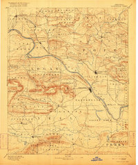
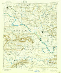
1890 Map of Dardanelle
USGS Topo · Published 1949About this map
Arkansas River navigation and mountain-valley settlement define this 1888 survey, which shows the river as the central artery for commerce before modern infrastructure. The prominent river crossing at Dardanelle, marked by the landmark Dardanelle Rock, connects to the growing rail and trade hub of Russellville to the north. This era captures the transition from river-based transport to regional growth as settlements like Clarksville and Danville began to anchor their respective counties.
Find a feature on this map
86 named features on this map. Tap any name to fly to it.
Don’t see what you’re looking for? This feature index may not catch every label — zoom into the map to look around manually.
Map Details
Editions of this 1890 Dardanelle Map
7 editions found

Other maps of this area

1879 · Mountain Home
USGS Topo · 1:62,500

1879 · Washington
USGS Topo · 1:62,500

1887 · Magazine Mountain #1
USGS Topo · 1:62,500

1887 · Smyrna
USGS Topo · 1:62,500

1887 · Magazine Mountain #4
USGS Topo · 1:62,500

1887 · Magazine Mountain
USGS Topo · 1:62,500

1888 · Dardanelle #4
USGS Topo · 1:62,500

1888 · Dardanelle #2
USGS Topo · 1:62,500

1888 · Dardanelle #1
USGS Topo · 1:62,500

1888 · Dardanelle #3
USGS Topo · 1:62,500