
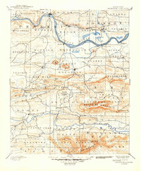
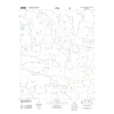
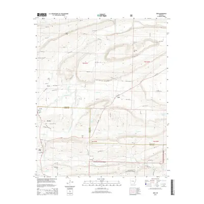
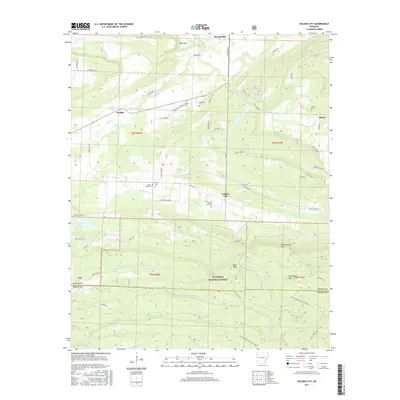
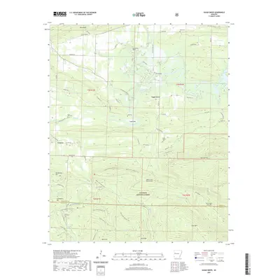
1887 Map of Magazine Mountain #1
USGS Topo · Published 1887About this map
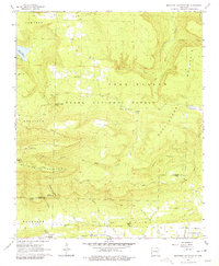
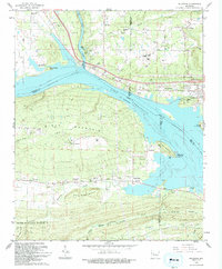
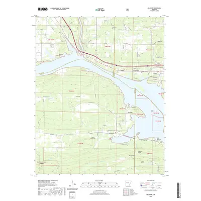
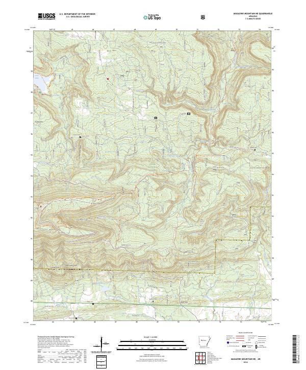
Paris and the rugged northern Arkansas landscape are defined here by the winding Arkansas River and the industrial infrastructure of the late nineteenth century. North of the river, the Little Rock & Fort Smith Railway connects coal-region settlements like Coal Hill, Hartman, and Spadra, while the Pond Creek Hills dominate the topography. To the south, high points like Pattersons Bluff and Morrisons Bluff overlook the water, with several smaller communities including Spielersville and Ellsworth scattered across the surrounding prairies.
Find a feature on this map
33 named features on this map. Tap any name to fly to it.
Don’t see what you’re looking for? This feature index may not catch every label — zoom into the map to look around manually.
Map Details
Editions of this 1887 Magazine Mountain #1 Map
This is the sole edition of this map. No revisions or reprints were ever made.
Historical Maps of Clarksville Through Time
39 maps found

1879 Mountain Home
Logan County, AR
1887 Magazine Mountain #1
Logan County, AR

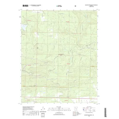
1887 Magazine Mountain #3
Logan County, AR

1887 Magazine Mountain #4
Logan County, AR

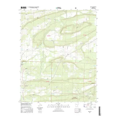
1887 Magazine Mountain
Logan County, AR
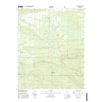
1890 Magazine Mountain
Logan County, AR
1947 Ione
Logan County, AR
1951 Ione
Logan County, AR
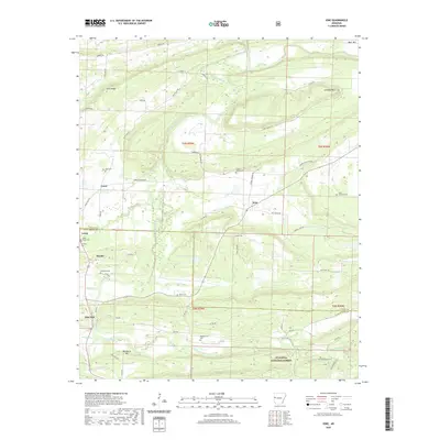
1962 Delaware
Logan County, AR
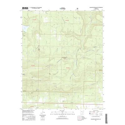
1966 Magazine Mountain NE
Logan County, AR
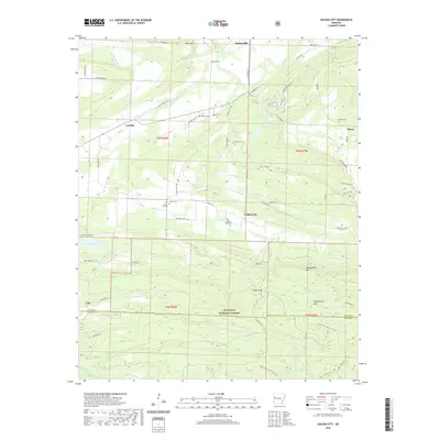
1983 Golden City
Logan County, AR
1983 Sugar Grove
Logan County, AR
1987 Ione
Logan County, AR
1993 Delaware
Logan County, AR
2011 Delaware
Logan County, AR
2011 Golden City
Logan County, AR
2011 Ione
Logan County, AR
2011 Magazine Mountain NE
Logan County, AR
2011 Sugar Grove
Logan County, AR
2014 Delaware
Logan County, AR
2014 Golden City
Logan County, AR
2014 Ione
Logan County, AR
2014 Magazine Mountain NE
Logan County, AR
2014 Sugar Grove
Logan County, AR
2017 Delaware
Logan County, AR
2017 Golden City
Logan County, AR
2017 Ione
Logan County, AR
2017 Magazine Mountain NE
Logan County, AR
2017 Sugar Grove
Logan County, AR
2020 Delaware
Logan County, AR
2020 Golden City
Logan County, AR
2020 Ione
Logan County, AR
2020 Magazine Mountain NE
Logan County, AR
2020 Sugar Grove
Logan County, AR
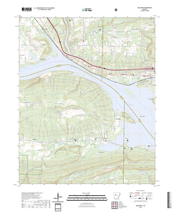
2024 Delaware
Logan County, AR
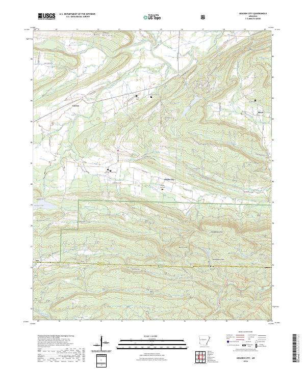
2024 Golden City
Logan County, AR
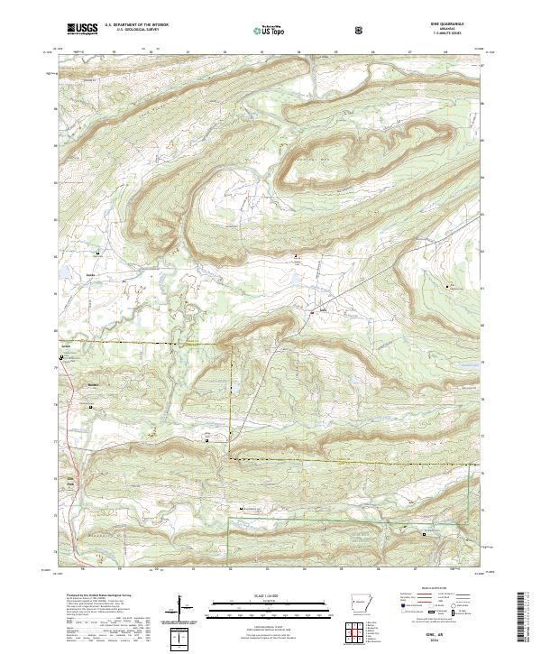
2024 Ione
Logan County, AR
2024 Magazine Mountain NE
Logan County, AR
2024 Sugar Grove
Logan County, AR