
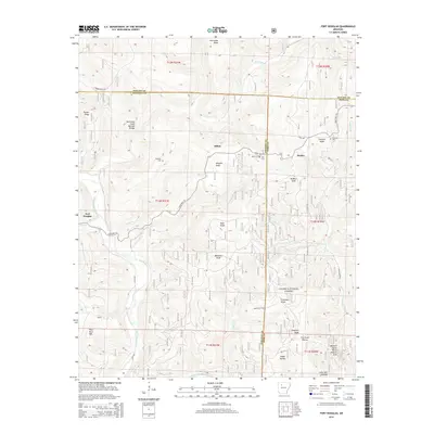
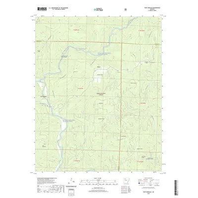
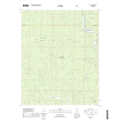
1888 Map of Dardanelle #2
USGS Topo · Published 1888About this map
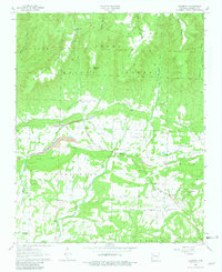
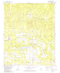
The Arkansas River carves a deep path through the landscape of the Arkansas River Valley in this late nineteenth-century survey, defining the development patterns of Johnson County. The Little Rock & Fort Smith R. R. runs parallel to the northern bank, connecting riverfront and upland settlements like Knoxville, Lamar, and the regional hub of Clarksville. These towns grew at the intersections of rail and water, while smaller interior communities like Lutherville and Blaine occupied the higher elevations of Colony Mountain and Pine Ridge.
Find a feature on this map
26 named features on this map. Tap any name to fly to it.
Don’t see what you’re looking for? This feature index may not catch every label — zoom into the map to look around manually.
Map Details
Editions of this 1888 Dardanelle #2 Map
This is the sole edition of this map. No revisions or reprints were ever made.
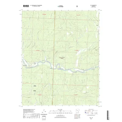
Historical Maps of Clarksville Through Time
38 maps found
1888 Dardanelle #2
Johnson County, AR

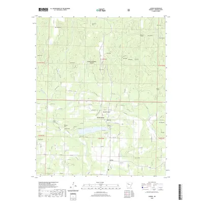
1906 Batson
Johnson County, AR
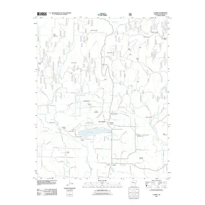
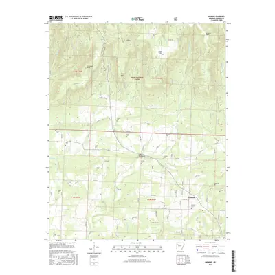
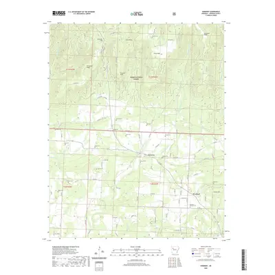
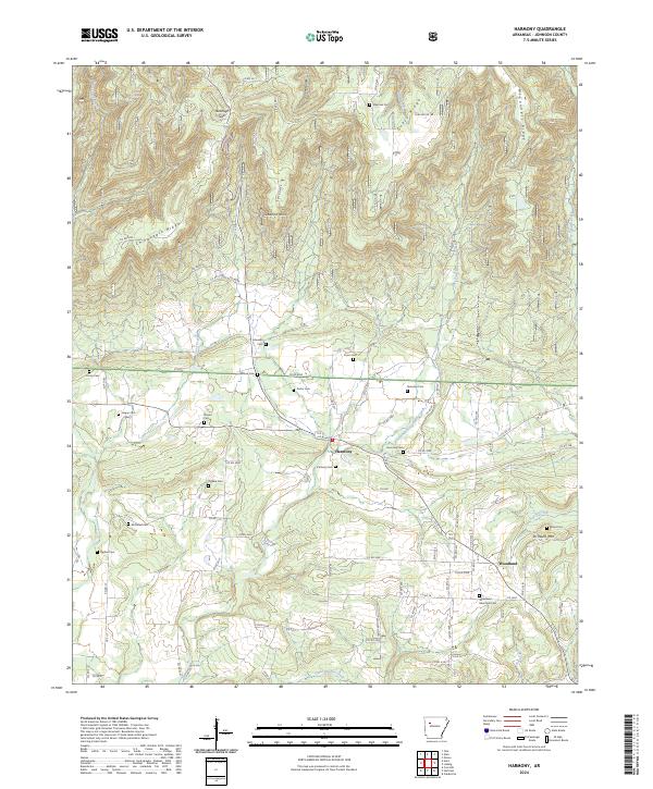
1963 Harmony
Johnson County, AR
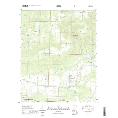
1963 Hunt
Johnson County, AR
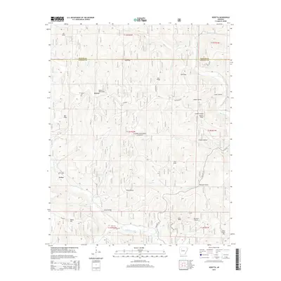
1973 Yale
Johnson County, AR
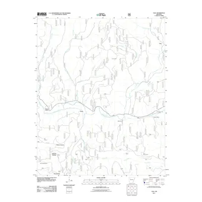
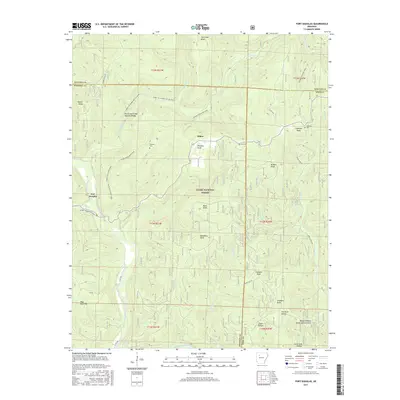
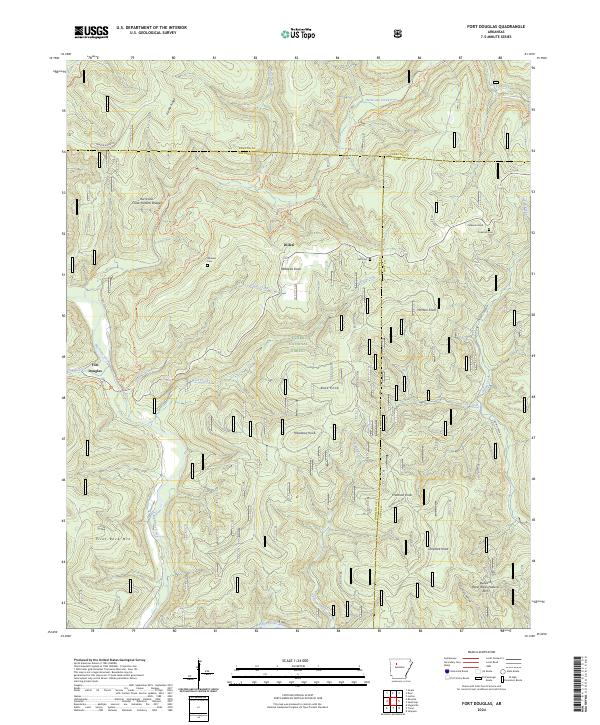
1980 Fort Douglas
Johnson County, AR
1980 Ludwig
Johnson County, AR
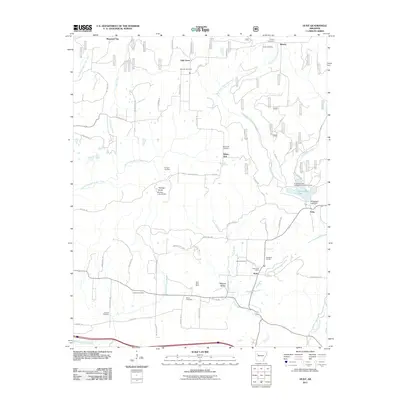
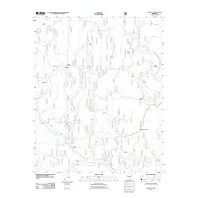
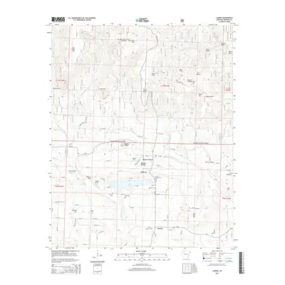
1980 Rosetta
Johnson County, AR
2011 Fort Douglas
Johnson County, AR
2011 Harmony
Johnson County, AR
2011 Hunt
Johnson County, AR
2011 Ludwig
Johnson County, AR
2011 Rosetta
Johnson County, AR
2011 Yale
Johnson County, AR
2014 Fort Douglas
Johnson County, AR
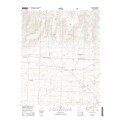
2014 Harmony
Johnson County, AR
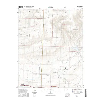
2014 Hunt
Johnson County, AR
2014 Ludwig
Johnson County, AR
2014 Rosetta
Johnson County, AR
2014 Yale
Johnson County, AR
2017 Fort Douglas
Johnson County, AR
2017 Harmony
Johnson County, AR
2017 Hunt
Johnson County, AR
2017 Ludwig
Johnson County, AR
2017 Rosetta
Johnson County, AR
2017 Yale
Johnson County, AR
2020 Fort Douglas
Johnson County, AR
2020 Harmony
Johnson County, AR
2020 Hunt
Johnson County, AR
2020 Ludwig
Johnson County, AR
2020 Rosetta
Johnson County, AR
2020 Yale
Johnson County, AR
2024 Fort Douglas
Johnson County, AR
2024 Harmony
Johnson County, AR
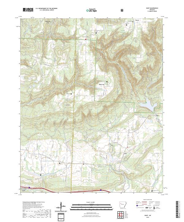
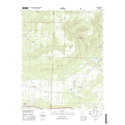
2024 Hunt
Johnson County, AR
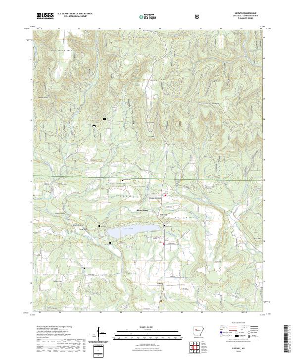
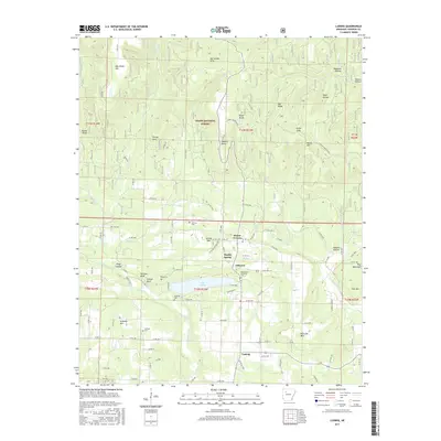
2024 Ludwig
Johnson County, AR
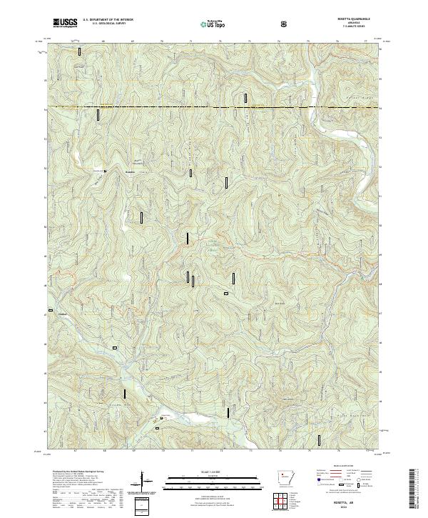
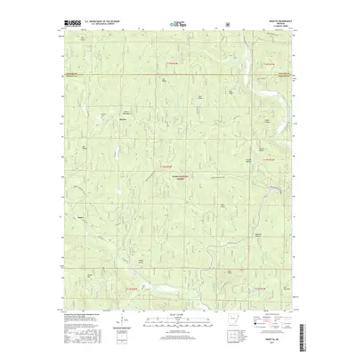
2024 Rosetta
Johnson County, AR
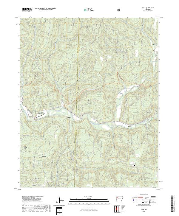
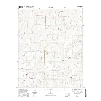
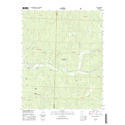
2024 Yale
Johnson County, AR