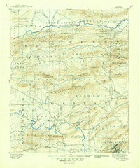
1894 Map of Hot Springs
USGS Topo · Published 1949About this map
The Hot Springs area and the dense ridges of the Quachita National Forest define this 1888 survey, showcasing the landscape before the massive reservoir developments of the 20th century. While the thermal waters at the Nat Park are the primary focus in the southeast, the map extensively documents the rural communities of Garland and Montgomery counties. Small, isolated settlements like Buckville and Cedar Glades appear along the banks of the Ouachita River, while to the north, the Fourche La Fave River carves through the Fourche Mountains near Rover. The intricate drainage patterns of Blakely Creek and Glazypeau Creek highlight the complex terrain that governed early transport and settlement. This map preserves the locations of early mountain communities and river crossings like Wards Crossing that were later altered by land use changes and inundation.
Find a feature on this map
80 named features on this map. Tap any name to fly to it.
Don’t see what you’re looking for? This feature index may not catch every label — zoom into the map to look around manually.
Map Details
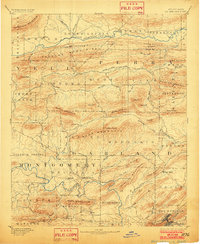
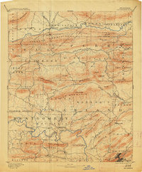
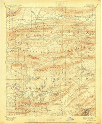
Editions of this 1894 Hot Springs Map
5 editions found

Other maps of this area

1879 · Mountain Home
USGS Topo · 1:62,500

1887 · Magazine Mountain #4
USGS Topo · 1:62,500

1887 · Magazine Mountain
USGS Topo · 1:62,500

1888 · Dardanelle #4
USGS Topo · 1:62,500

1888 · Dardanelle #3
USGS Topo · 1:62,500

1889 · Morrilton No. 3
USGS Topo · 1:62,500

1890 · Magazine Mountain
USGS Topo · 1:125,000

1890 · Mount Ida
USGS Topo · 1:125,000

1890 · Benton
USGS Topo · 1:125,000

1890 · Hot Springs
USGS Topo · 1:125,000