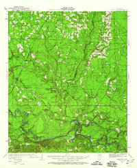
1934 Map of Moro Bay
USGS Topo · Published 1960About this map
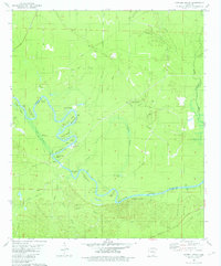
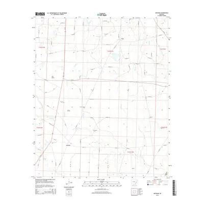
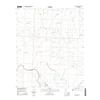
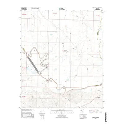
The Ouachita River meanders through the southern portion of this landscape, its path defined by sharp oxbows and landings that served as vital points of commerce. Established river points like Wilmington Landing and Bangs Landing appear alongside the engineering of Lock 8, reflecting a period when water transport remained central to the local economy. Further inland, the Chicago Rock Island and Pacific railroad cuts through the western section, passing the small settlement of Artesian.
Find a feature on this map
71 named features on this map. Tap any name to fly to it.
Don’t see what you’re looking for? This feature index may not catch every label — zoom into the map to look around manually.
Map Details
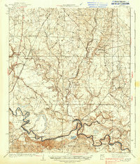
Editions of this 1934 Moro Bay Map
This is the sole edition of this map. No revisions or reprints were ever made.
Historical Maps of Unco Through Time
33 maps found
1934 Moro Bay
Calhoun County, AR
1938 Moro Bay
Calhoun County, AR
1939 Moro Bay
Calhoun County, AR
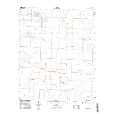
1962 Smackover NE
Calhoun County, AR
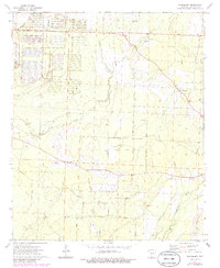
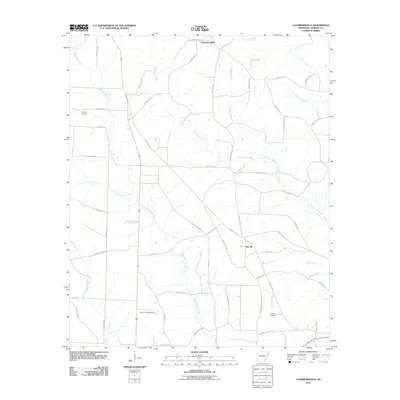
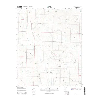
1973 Chambersville
Calhoun County, AR
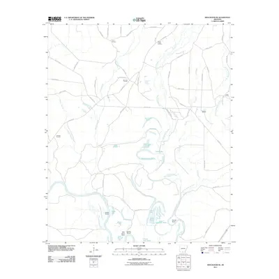
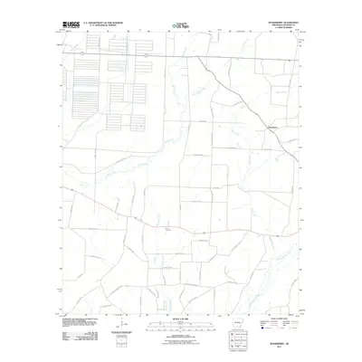
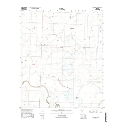
1973 Woodberry
Calhoun County, AR
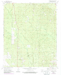
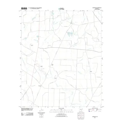
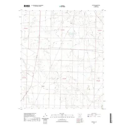
1981 Artesian
Calhoun County, AR
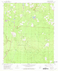
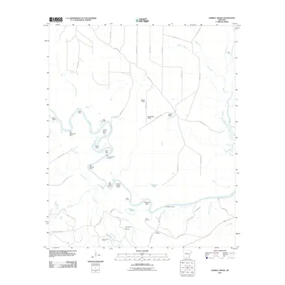
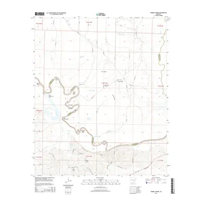
1981 Harrell Brake
Calhoun County, AR
2011 Artesian
Calhoun County, AR
2011 Chambersville
Calhoun County, AR
2011 Harrell Brake
Calhoun County, AR
2011 Smackover NE
Calhoun County, AR
2011 Woodberry
Calhoun County, AR
2014 Artesian
Calhoun County, AR
2014 Chambersville
Calhoun County, AR
2014 Harrell Brake
Calhoun County, AR
2014 Smackover NE
Calhoun County, AR
2014 Woodberry
Calhoun County, AR
2017 Artesian
Calhoun County, AR
2017 Chambersville
Calhoun County, AR
2017 Harrell Brake
Calhoun County, AR
2017 Smackover NE
Calhoun County, AR
2017 Woodberry
Calhoun County, AR
2020 Artesian
Calhoun County, AR
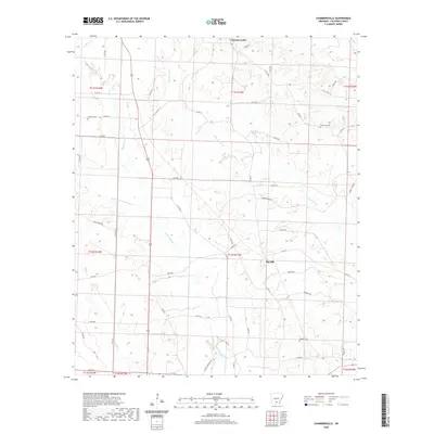
2020 Chambersville
Calhoun County, AR
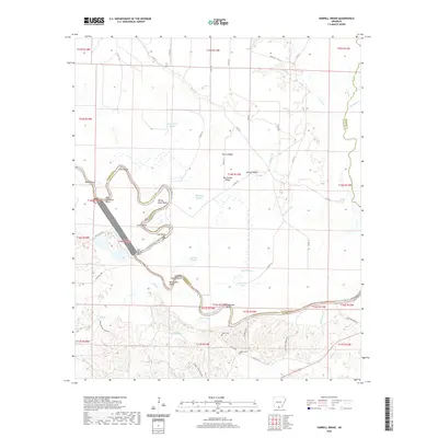
2020 Harrell Brake
Calhoun County, AR
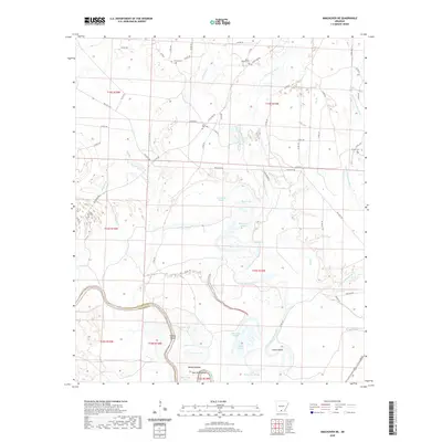
2020 Smackover NE
Calhoun County, AR
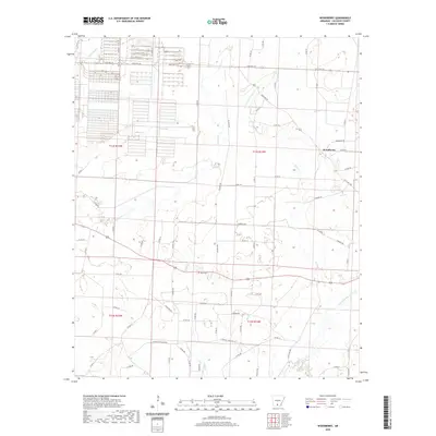
2020 Woodberry
Calhoun County, AR
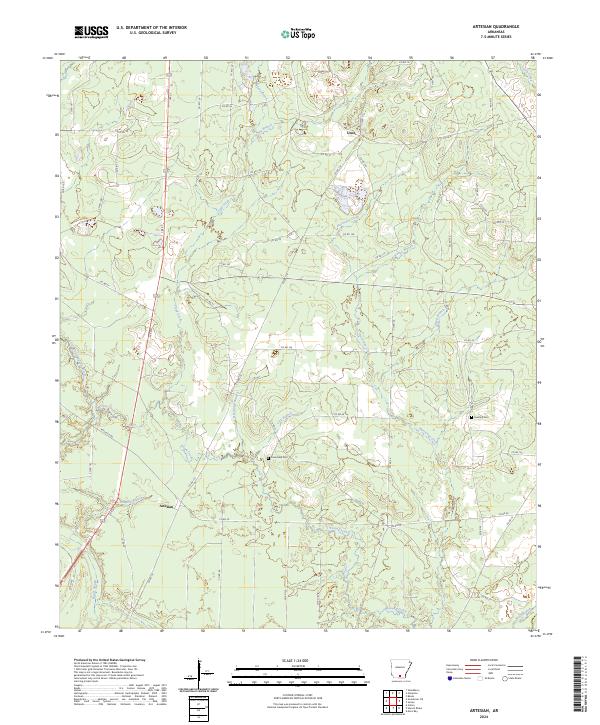
2024 Artesian
Calhoun County, AR
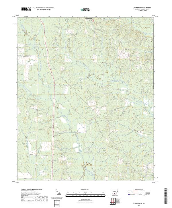
2024 Chambersville
Calhoun County, AR
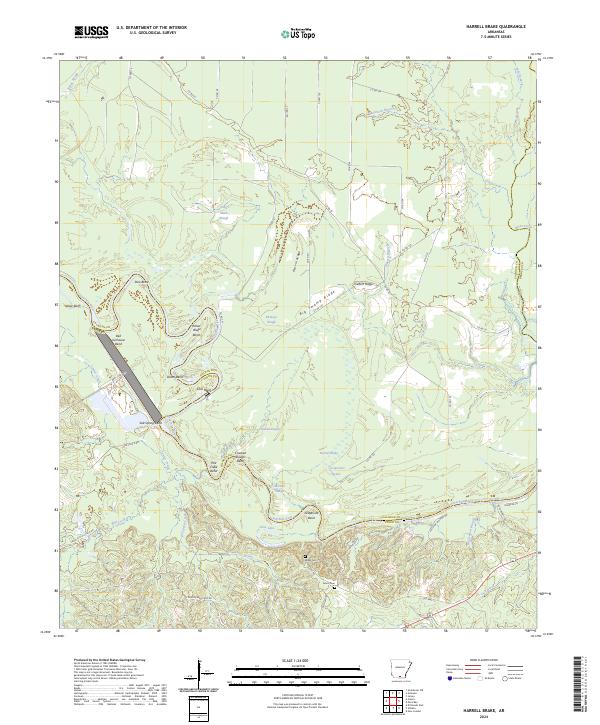
2024 Harrell Brake
Calhoun County, AR
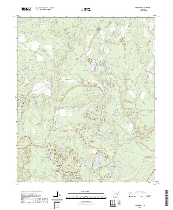
2024 Smackover NE
Calhoun County, AR
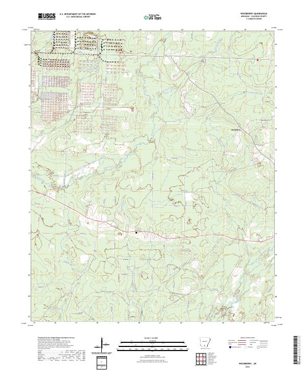
2024 Woodberry
Calhoun County, AR