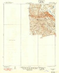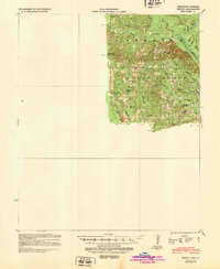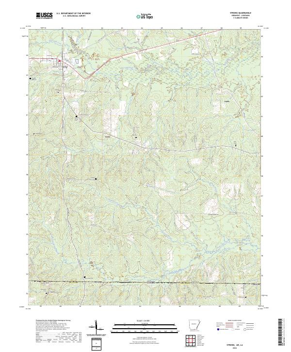
1933 Map of Strong
USGS Topo · Published 1954About this map
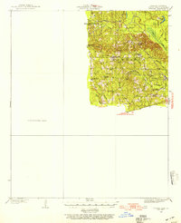
Wilmington and the surrounding piney lowlands of eastern Union County appear here as they were surveyed in the early 1930s. The landscape is defined by the winding course of Bayou de Loutre and its numerous tributaries, including Cane Creek and Horsehead Creek. This was a rural economy of small settlements and dispersed community landmarks, evidenced by the presence of the Mcclendon Mill and the Strong Pumping Station. Local social life centered around places like Ebenezer Ch, West Chapel, and Union Sch.
Find a feature on this map
29 named features on this map. Tap any name to fly to it.
Don’t see what you’re looking for? This feature index may not catch every label — zoom into the map to look around manually.
Map Details
Editions of this 1933 Strong Map
This is the sole edition of this map. No revisions or reprints were ever made.
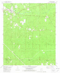
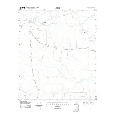
Historical Maps of Strong Through Time
9 maps found