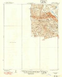
1937 Map of Strong
USGS Topo · Published 1949About this map
Wilmington and New London anchor this 1930s landscape in eastern Union County, an area defined by the winding waterways of the Ouachita River basin. The influence of the timber industry is evident in the presence of the Lumber R R and a Sawmill located near the Harrison district. Agricultural and rural community life is documented through a network of family-named schools and churches, including Payne Sch, Gill Sch, and Ward Chapel.
Find a feature on this map
31 named features on this map. Tap any name to fly to it.
Don’t see what you’re looking for? This feature index may not catch every label — zoom into the map to look around manually.
Map Details
Editions of this 1937 Strong Map
2 editions found
Other maps of this area

1927 · El Dorado
USGS Topo · 1:62,500

1930 · El Dorado
USGS Topo · 1:62,500

1933 · Strong
USGS Topo · 1:62,500

1934 · Ingalls
USGS Topo · 1:48,000

1934 · Felsenthal
USGS Topo · 1:62,500

1934 · Moro Bay
USGS Topo · 1:62,500

1935 · Haile
USGS Topo · 1:62,500

1937 · Strong
USGS Topo · 1:62,500

1937 · Felsenthal
USGS Topo · 1:62,500

1937 · Ingalls
USGS Topo · 1:62,500