
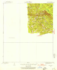
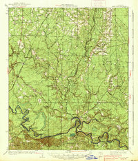
1934 Map of Ingalls
USGS Topo · Published 1934About this map
Johnsville and several small rural outposts characterize this Bradley County landscape in the early 1930s. The Chicago Rock Island and Pacific RR cuts diagonally through the terrain, serving timber or transit points like Vick and Wilcox Switch. This era of settlement is heavily defined by community hubs like Marsden Ch, Antioch Ch, and Sladers Chapel, alongside local education centers such as Thomas Sch and Whiteoak Sch.
Find a feature on this map
56 named features on this map. Tap any name to fly to it.
Don’t see what you’re looking for? This feature index may not catch every label — zoom into the map to look around manually.
Map Details
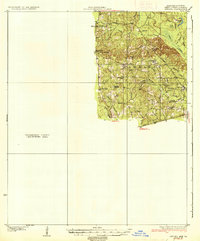
Editions of this 1934 Ingalls Map
This is the sole edition of this map. No revisions or reprints were ever made.
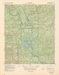
Other maps of this area
1933 · Strong
USGS Topo · 1:62,500

1934 · Felsenthal
USGS Topo · 1:62,500
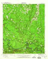
1934 · Moro Bay
USGS Topo · 1:62,500
1937 · Strong
USGS Topo · 1:62,500

1937 · Felsenthal
USGS Topo · 1:62,500
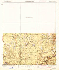
1937 · Ingalls
USGS Topo · 1:62,500

1938 · Felsenthal
USGS Topo · 1:62,500
1938 · Moro Bay
USGS Topo · 1:62,500
1939 · Felsenthal
USGS Topo · 1:62,500
1939 · Moro Bay
USGS Topo · 1:62,500