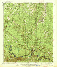
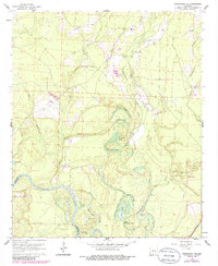
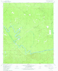
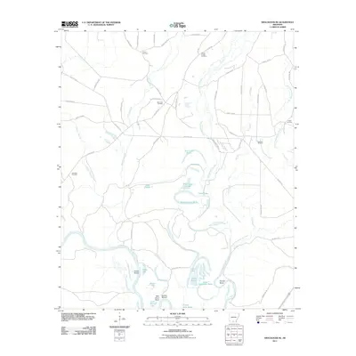
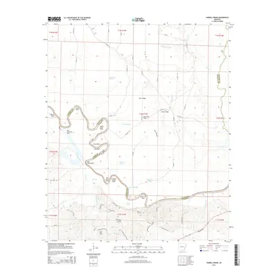
1938 Map of Moro Bay
USGS Topo · Published 1938About this map
The Ouachita River snakes through the southern reaches of this landscape, its path defined by sharp loops like Stick Bend, Lock Bend, and Grapevine Bend. This 1930s survey reveals a river-centered economy transitioning toward rail, with several critical river access points including Wilmington Landing, Canesville Landing, and Bangs Landing. The terrain is deeply carved by drainage systems like Moro Creek and Champagnolle Creek, which feed into the primary river through a network of sloughs and brakes such as Mayberry Brake and Duncan Brake.
Find a feature on this map
72 named features on this map. Tap any name to fly to it.
Don’t see what you’re looking for? This feature index may not catch every label — zoom into the map to look around manually.
Map Details
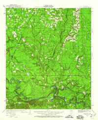
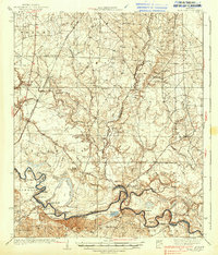
Editions of this 1938 Moro Bay Map
2 editions found
Historical Maps of Unco Through Time
33 maps found
1934 Moro Bay
Calhoun County, AR
1938 Moro Bay
Calhoun County, AR
1939 Moro Bay
Calhoun County, AR
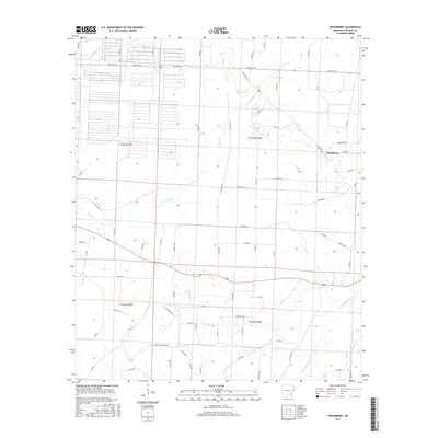
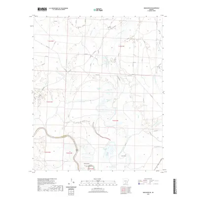
1962 Smackover NE
Calhoun County, AR
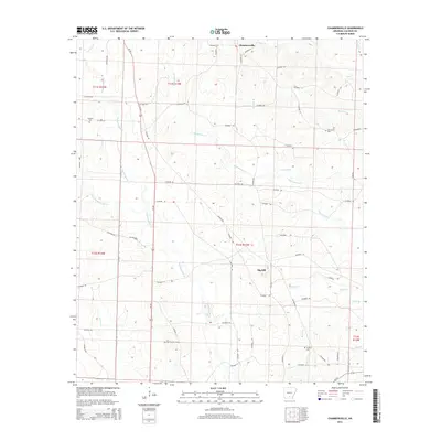
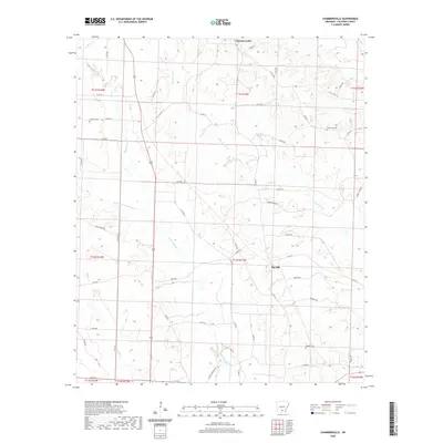
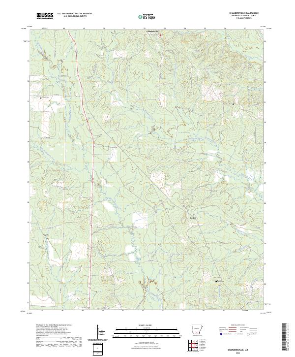
1973 Chambersville
Calhoun County, AR
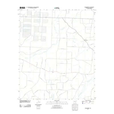
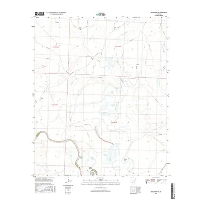
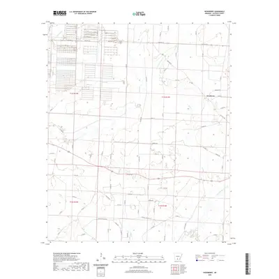
1973 Woodberry
Calhoun County, AR
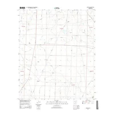
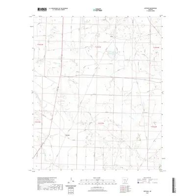
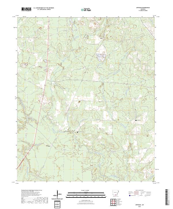
1981 Artesian
Calhoun County, AR
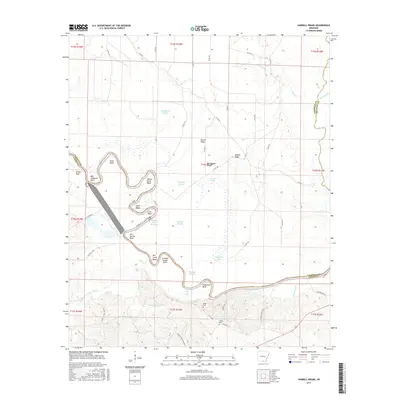
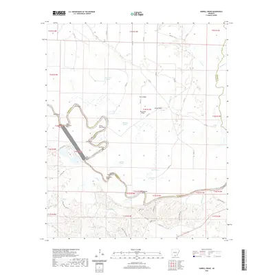
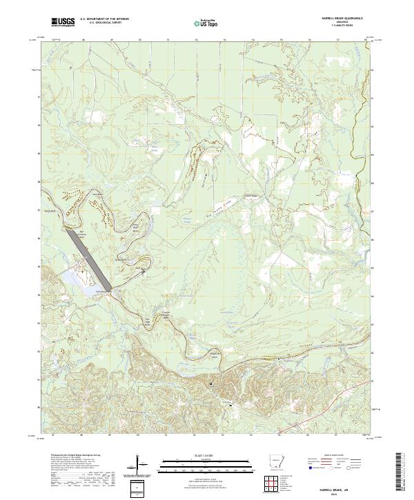
1981 Harrell Brake
Calhoun County, AR
2011 Artesian
Calhoun County, AR
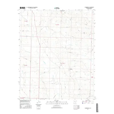
2011 Chambersville
Calhoun County, AR
2011 Harrell Brake
Calhoun County, AR
2011 Smackover NE
Calhoun County, AR
2011 Woodberry
Calhoun County, AR
2014 Artesian
Calhoun County, AR
2014 Chambersville
Calhoun County, AR
2014 Harrell Brake
Calhoun County, AR
2014 Smackover NE
Calhoun County, AR
2014 Woodberry
Calhoun County, AR
2017 Artesian
Calhoun County, AR
2017 Chambersville
Calhoun County, AR
2017 Harrell Brake
Calhoun County, AR
2017 Smackover NE
Calhoun County, AR
2017 Woodberry
Calhoun County, AR
2020 Artesian
Calhoun County, AR
2020 Chambersville
Calhoun County, AR
2020 Harrell Brake
Calhoun County, AR
2020 Smackover NE
Calhoun County, AR
2020 Woodberry
Calhoun County, AR
2024 Artesian
Calhoun County, AR
2024 Chambersville
Calhoun County, AR
2024 Harrell Brake
Calhoun County, AR
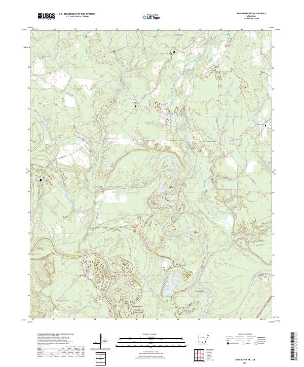
2024 Smackover NE
Calhoun County, AR
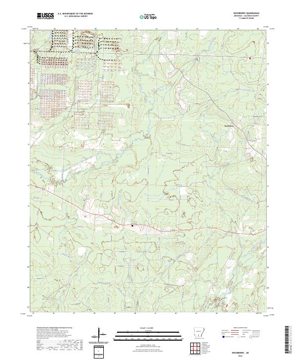
2024 Woodberry
Calhoun County, AR