
Loading...
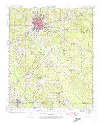
Loading map...1930 Map of El Dorado
USGS Topo · Published 1949About this map
El Dorado serves as a central hub of activity in south Arkansas just before the 1930s, showing a landscape transitioning into an industrial oil center as evidenced by the numerous Oil Tanks clustered around the city. This survey, conducted by C.L. Sadler and team, details the extensive rail network required for this growth, including the Missouri Pacific and the Chicago Rock Island and Pacific lines.
Find a feature on this map
81 named features on this map. Tap any name to fly to it.
Don’t see what you’re looking for? This feature index may not catch every label — zoom into the map to look around manually.
Map Details
Date Portrayed1930
Date Published1949
PublisherU.S. Geological Survey
Map TypeTopographic
Scale1:62,500
Physical Dimensions16.9 x 20.8 inches
Editions of this 1930 El Dorado Map
This is the sole edition of this map. No revisions or reprints were ever made.
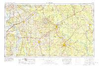
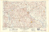
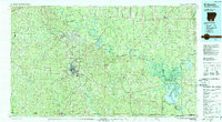
Historical Maps of El Dorado Through Time
9 maps found


Featured Locations
Source Details
SourceU.S. Geological Survey
CopyrightPublic Domain