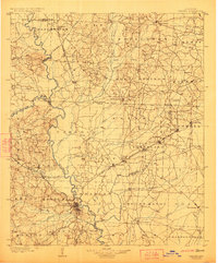
1903 Map of Camden
USGS Topo · Published 1923About this map
The Ouachita River winds through this South Arkansas landscape, serving as a primary corridor for early 20th-century commerce and settlement. Near the river, the county seat of Camden functions as a vital hub where the St. L. S. W. Ry. and other rail lines converge, facilitating the movement of timber and agricultural goods. To the northwest, the Little Missouri River joins the Ouachita, while a solitary Coal Mine indicates early mineral extraction in the hills near Wyloe.
Find a feature on this map
91 named features on this map. Tap any name to fly to it.
Don’t see what you’re looking for? This feature index may not catch every label — zoom into the map to look around manually.
Map Details
Editions of this 1903 Camden Map
3 editions found
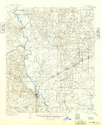
Other maps of this area

1901 · Gurdon
USGS Topo · 1:125,000

1903 · Camden
USGS Topo · 1:125,000

1934 · Moro Bay
USGS Topo · 1:62,500

1938 · Moro Bay
USGS Topo · 1:62,500

1939 · Moro Bay
USGS Topo · 1:62,500

1951 · Camden
USGS Topo · 1:24,000

1953 · El Dorado
USGS Topo · 1:250,000

1955 · Little Rock
USGS Topo · 1:250,000

1956 · Little Rock
USGS Topo · 1:250,000

1957 · El Dorado
USGS Topo · 1:250,000