2020s Maps of Eureka Springs, Arkansas
Explore 8 historic maps of Eureka Springs from the 2020s. These maps offer a rare glimpse into what life looked like during the 2020s — showing old roads, neighborhoods, homes, and landmarks that have changed or disappeared over time.
Whether you're researching your family's past, planning a metal detecting trip, or studying how Eureka Springs's landscape evolved across the 2020s, these high-resolution maps are a powerful tool for exploring the history of this region.
- Focus on a specific era: All maps on this page are from the 2020s, giving you a focused view of this time period.
- See what’s changed: Compare century-old streets, trails, and buildings to today's modern landscape using overlays and satellite layers.
- Research with precision: Use these maps for genealogy, historical research, land use analysis, or educational projects.
- View, download, or print: Maps are fully viewable online in high resolution, and can be downloaded or printed for your own records.
Start exploring Eureka Springs's history through authentic maps from the 2020s. This is your window into the past.
Eureka Springs, AR maps
(8)- 2020 Map of Beaver, 2020 Print
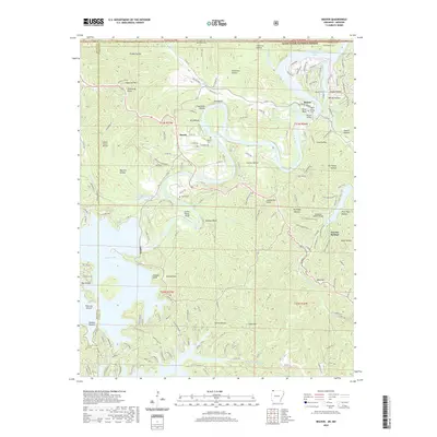 2020 Beaver2020 Print · USGSCovers Eureka Springs, including Beaver, Busch, and other nearby areas
 - 2020 Map of Rockhouse, 2020 Print
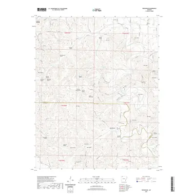 2020 Rockhouse2020 Print · USGSCovers Eureka Springs, including Rockhouse, Carroll County, and other nearby areas
 - 2020 Map of Sandstone Mountain, 2020 Print
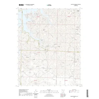 2020 Sandstone Mountain2020 Print · USGSCovers Eureka Springs, including Lone Star, Rock, and other nearby areas
 - 2020 Map of Eureka Springs, 2020 Print
 2020 Eureka Springs2020 Print · USGSCovers Eureka Springs, including Oak Hill, Pleasant Ridge, and other nearby areas
 - 2024 Map of Rockhouse, 2024 Print
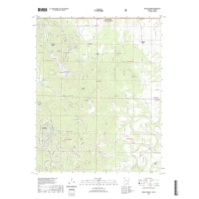
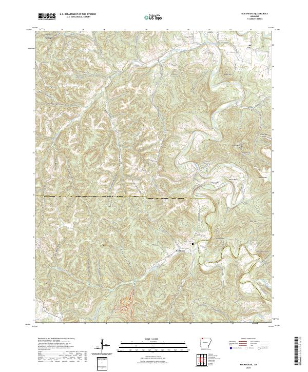 2024 Rockhouse2024 Print · USGSThe Carroll and Madison county line comes into focus in this recent survey of the Arkansas Ozarks. Local historians can trace family ties at the Rockhouse Cem or follow the deep hollows of Wildcat Hollow and Bear Hollow along the Kings River.
 - 2024 Map of Sandstone Mountain, 2024 Print
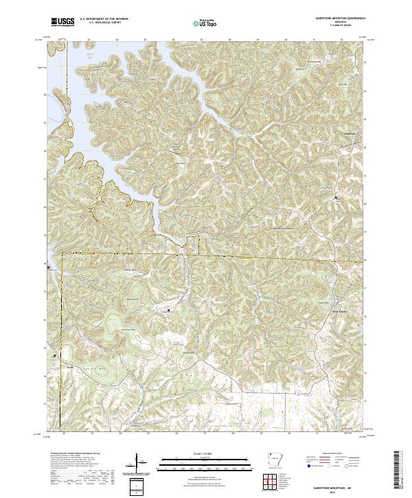 2024 Sandstone Mountain2024 Print · USGSThe rugged ridge country of the Ozarks is captured here at the triple-county junction of Benton, Carroll, and Madison. Genealogists can trace early homestead footprints through sites like Beulah Union Cem and the small settlements of Lone Star and West Liberty.
 - 2024 Map of Beaver, 2024 Print
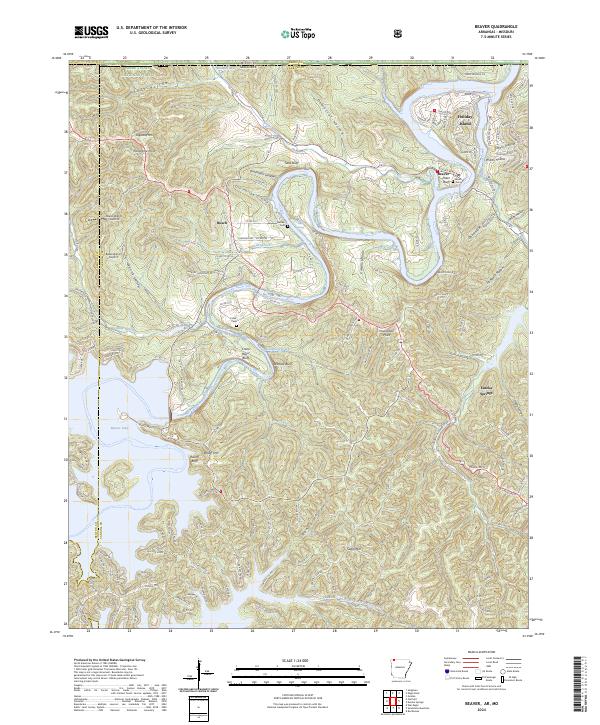 2024 Beaver2024 Print · USGSThis Carroll County landscape shows the White River valley and the shores of Beaver Lake in the modern era. Genealogists can locate family burial sites at Beaver Cem and Fuller Cem while tracing the bluffs at Crane Roost Bluff.
 - 2024 Map of Eureka Springs, 2024 Print
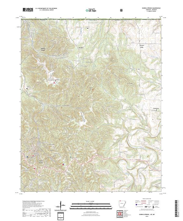 2024 Eureka Springs2024 Print · USGSEureka Springs and the surrounding Ozark hollows are captured here during the early twenty-first century. Genealogists can trace family sites at Gaskins Switch Cem or Grandview Cem, while exploring the rugged reaches of the Kings River.
End of results
Showing maps 1-8 of 8
Top cities near Eureka Springs
- Berryville historical maps
- Seligman historical maps
- Washburn historical maps
- Garfield historical maps
- Emerald Beach historical maps
- Arrow Point historical maps
See more
Frequently asked questions
- What are the different types of historical maps available for Eureka Springs?
- What is the oldest map of Eureka Springs?
- Where can I purchase historical maps of Eureka Springs for my home or office?
- Where can I download high-res historical maps of Eureka Springs?
- Are there historical topographic maps available for Eureka Springs?
- Is there historical aerial imagery available for Eureka Springs?
- Where are historical maps of Eureka Springs sourced from?