2020s Maps of Heber Springs, Arkansas
Explore 8 historic maps of Heber Springs from the 2020s. These maps offer a rare glimpse into what life looked like during the 2020s — showing old roads, neighborhoods, homes, and landmarks that have changed or disappeared over time.
Whether you're researching your family's past, planning a metal detecting trip, or studying how Heber Springs's landscape evolved across the 2020s, these high-resolution maps are a powerful tool for exploring the history of this region.
- Focus on a specific era: All maps on this page are from the 2020s, giving you a focused view of this time period.
- See what’s changed: Compare century-old streets, trails, and buildings to today's modern landscape using overlays and satellite layers.
- Research with precision: Use these maps for genealogy, historical research, land use analysis, or educational projects.
- View, download, or print: Maps are fully viewable online in high resolution, and can be downloaded or printed for your own records.
Start exploring Heber Springs's history through authentic maps from the 2020s. This is your window into the past.
Heber Springs, AR maps
(8)- 2020 Map of Greers Ferry Dam, 2020 Print
 2020 Greers Ferry Dam2020 Print · USGSCovers Heber Springs, including Tumbling Shoals, Wilburn, and other nearby areas
 - 2020 Map of West Pangburn, 2020 Print
 2020 West Pangburn2020 Print · USGSCovers Heber Springs, including Snell, West Pangburn, and other nearby areas
 - 2020 Map of Heber Springs, 2020 Print
 2020 Heber Springs2020 Print · USGSCovers Heber Springs, including South Shore Park, Hopewell, and other nearby areas
 - 2020 Map of Brownsville, 2020 Print
 2020 Brownsville2020 Print · USGSCovers Heber Springs, including Lake Ridge, Brownsville, and other nearby areas
 - 2024 Map of Heber Springs, 2024 Print
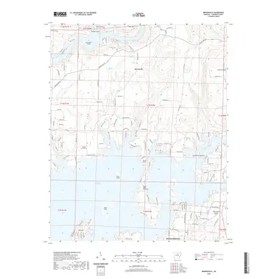
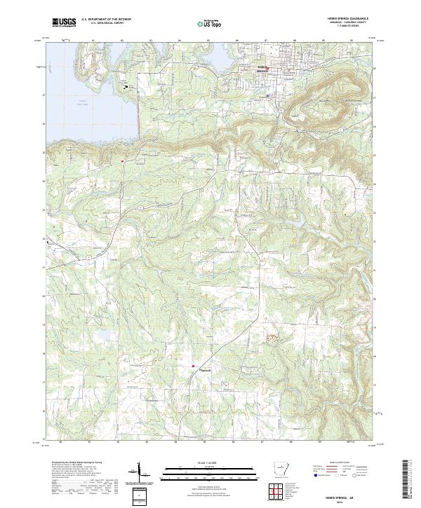 2024 Heber Springs2024 Print · USGSHeber Springs and the surrounding Cleburne County landscape are shown here in recent detail, dominated by the waters of Greers Ferry Lake. Local historians can trace the town's street grid from the Cleburne County Courthouse to rural landmarks like Cove-Kendall Cem and Seven Natural Springs.
 - 2024 Map of West Pangburn, 2024 Print
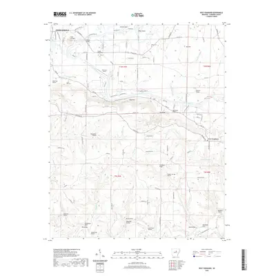
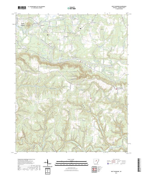 2024 West Pangburn2024 Print · USGSThe Little Red River corridor in Cleburne County is documented here during the early twenty-first century. Genealogists and local historians can trace family locations near Turneys Ferry, Mount Zion Cem, and the bluffs of West Pangburn.
 - 2024 Map of Greers Ferry Dam, 2024 Print
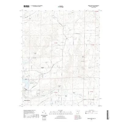
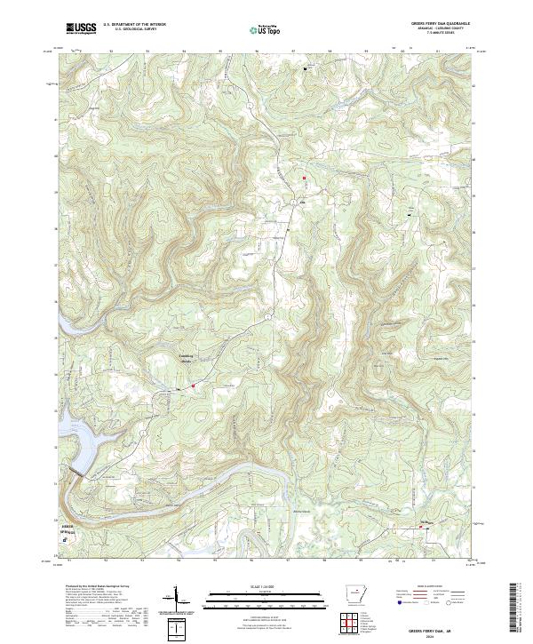 2024 Greers Ferry Dam2024 Print · USGSThe foothills of the Ozarks meet the clear waters of Cleburne County in the modern era. Researchers can trace the winding course of the Little Red River past Tumbling Shoals and the Greers Ferry National Fish Hatchery to the outskirts of Heber Springs.
 - 2024 Map of Brownsville, 2024 Print
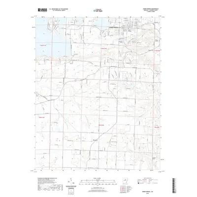
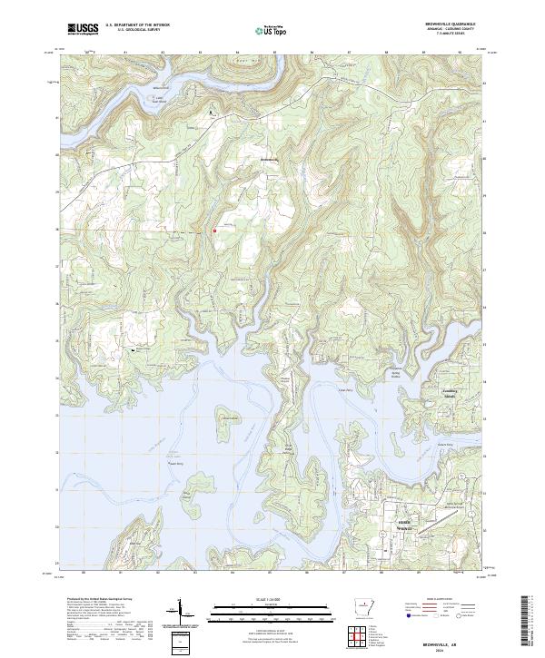 2024 Brownsville2024 Print · USGSThe Cleburne County highlands meet the expansive waters of the Little Red River in this modern survey of the Greers Ferry area. Genealogists and local historians can trace the legacy of earlier eras at Holland Cem, Pleasant Ridge Cem, and the old crossing at Wilsons Ford.
End of results
Showing maps 1-8 of 8
Top cities near Heber Springs
- Fairfield Bay historical maps
- Greers Ferry historical maps
- Quitman historical maps
- Pangburn historical maps
- Rose Bud historical maps
- Concord historical maps
See more
Frequently asked questions
- What are the different types of historical maps available for Heber Springs?
- What is the oldest map of Heber Springs?
- Where can I purchase historical maps of Heber Springs for my home or office?
- Where can I download high-res historical maps of Heber Springs?
- Are there historical topographic maps available for Heber Springs?
- Is there historical aerial imagery available for Heber Springs?
- Where are historical maps of Heber Springs sourced from?