2000s (21st Century) Maps of Alma, Arkansas
Explore 20 historic maps of Alma from the 2000s (21st Century). These maps offer a rare glimpse into what life looked like during the 2000s — showing old roads, neighborhoods, homes, and landmarks that have changed or disappeared over time.
Whether you're researching your family's past, planning a metal detecting trip, or studying how Alma's landscape evolved across the 2000s, these high-resolution maps are a powerful tool for exploring the history of this region.
- Focus on a specific era: All maps on this page are from the 2000s, giving you a focused view of this time period.
- See what’s changed: Compare century-old streets, trails, and buildings to today's modern landscape using overlays and satellite layers.
- Research with precision: Use these maps for genealogy, historical research, land use analysis, or educational projects.
- View, download, or print: Maps are fully viewable online in high resolution, and can be downloaded or printed for your own records.
Start exploring Alma's history through authentic maps from the 2000s. This is your window into the past.
Alma, AR maps
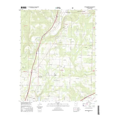
(20)- 2011 Map of Mountainburg SW, 2011 Print
 2011 Mountainburg SW2011 Print · USGSCovers Alma, including Dyer, Mountainburg, and other nearby areas
 - 2011 Map of Van Buren, 2011 Print
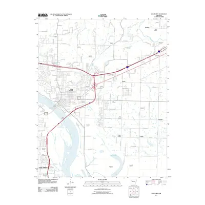 2011 Van Buren2011 Print · USGSCovers Alma, including Fort Smith, Van Buren, and other nearby areas
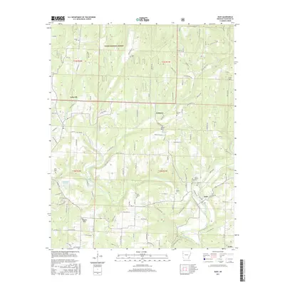
 - 2011 Map of Rudy, 2011 Print
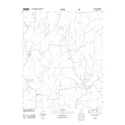 2011 Rudy2011 Print · USGSCovers Alma, including Cedarville, Rudy, and other nearby areas
 - 2011 Map of Alma, 2011 Print
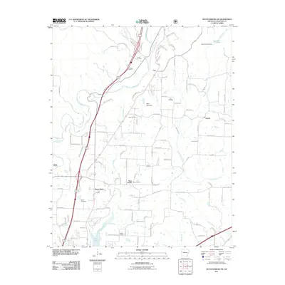
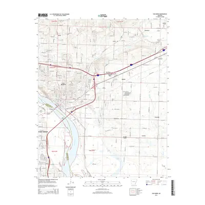
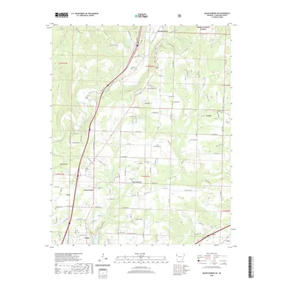
 2011 Alma2011 Print · USGSCovers Alma, including Kibler, Dyer, and other nearby areas
 - 2014 Map of Van Buren, 2014 Print
 2014 Van Buren2014 Print · USGSCovers Alma, including Fort Smith, Van Buren, and other nearby areas
 - 2014 Map of Mountainburg SW, 2014 Print
 2014 Mountainburg SW2014 Print · USGSCovers Alma, including Dyer, Mountainburg, and other nearby areas
 - 2014 Map of Rudy, 2014 Print
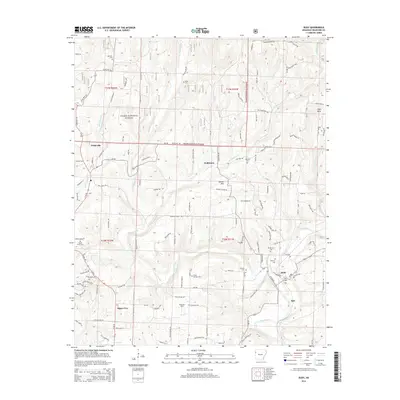 2014 Rudy2014 Print · USGSCovers Alma, including Cedarville, Rudy, and other nearby areas
 - 2014 Map of Alma, 2014 Print
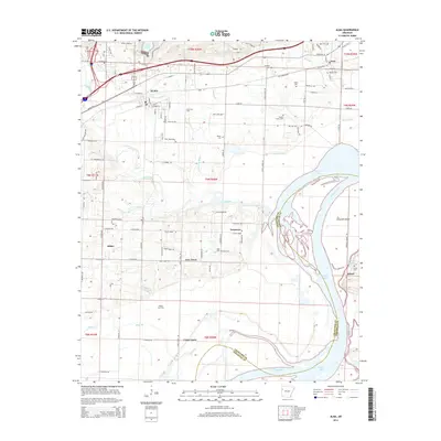 2014 Alma2014 Print · USGSCovers Alma, including Kibler, Dyer, and other nearby areas
 - 2017 Map of Mountainburg SW, 2017 Print
 2017 Mountainburg SW2017 Print · USGSCovers Alma, including Dyer, Mountainburg, and other nearby areas
 - 2017 Map of Rudy, 2017 Print
 2017 Rudy2017 Print · USGSCovers Alma, including Cedarville, Rudy, and other nearby areas
 - 2017 Map of Alma, 2017 Print
 2017 Alma2017 Print · USGSCovers Alma, including Kibler, Dyer, and other nearby areas
 - 2017 Map of Van Buren, 2017 Print
 2017 Van Buren2017 Print · USGSCovers Alma, including Fort Smith, Van Buren, and other nearby areas
 - 2020 Map of Mountainburg SW, 2020 Print
 2020 Mountainburg SW2020 Print · USGSCovers Alma, including Dyer, Mountainburg, and other nearby areas
 - 2020 Map of Rudy, 2020 Print
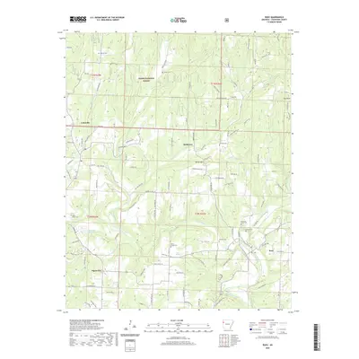 2020 Rudy2020 Print · USGSCovers Alma, including Cedarville, Rudy, and other nearby areas
 - 2020 Map of Van Buren, 2020 Print
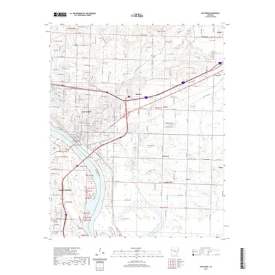 2020 Van Buren2020 Print · USGSCovers Alma, including Fort Smith, Van Buren, and other nearby areas
 - 2020 Map of Alma, 2020 Print
 2020 Alma2020 Print · USGSCovers Alma, including Kibler, Dyer, and other nearby areas
 - 2024 Map of Van Buren, 2024 Print
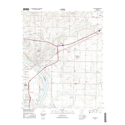
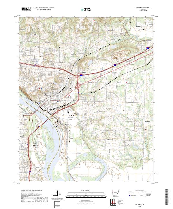 2024 Van Buren2024 Print · USGSVan Buren and Fort Smith meet along the banks of the Arkansas River in this detailed modern survey of the river valley. Genealogists and local historians can locate numerous family burial sites, including Antioch Cem, Stevenson Cem, and Old Concord Cem.
 - 2024 Map of Alma, 2024 Print
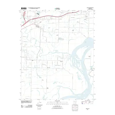
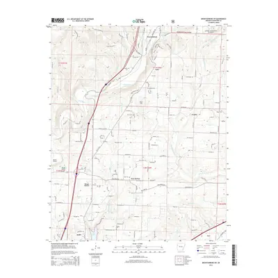
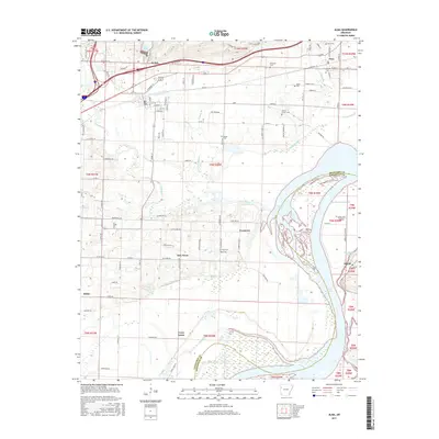
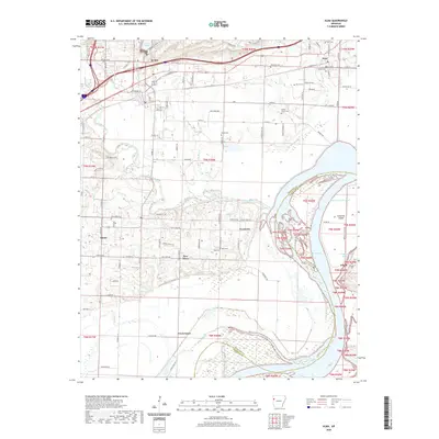
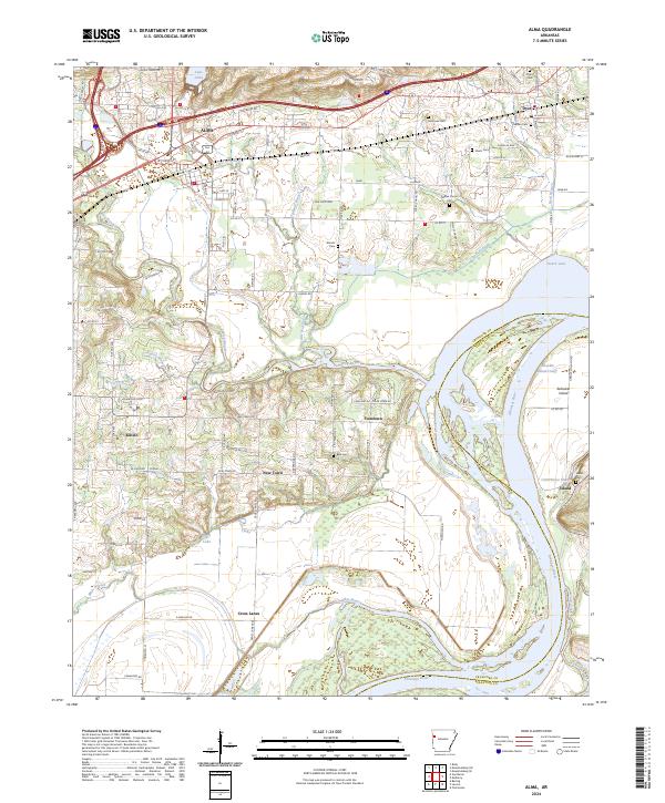 2024 Alma2024 Print · USGSThe Arkansas River valley comes into sharp focus in this recent survey of the settlements between Alma and Dyer. Researchers can trace local lineage through several family burial grounds like Woods Cem and Beal Cem or explore the river geography of Arbuckle Island.
 - 2024 Map of Rudy, 2024 Print
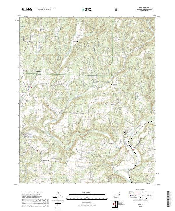 2024 Rudy2024 Print · USGSCrawford County settlements and the Ozark foothills are captured here in the contemporary era. Researchers can locate numerous family burial grounds including Sarah Grove Cem and Oliver Springs Cem, or trace the winding waters of Frog Bayou.
 - 2024 Map of Mountainburg SW, 2024 Print
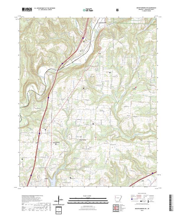 2024 Mountainburg SW2024 Print · USGSCrawford County settlements and hill country are captured here at the edge of the Ozarks. Researchers can trace family history through a dense network of local burial sites including Wynn Graveyard, Deans Cem, and Hatfield Cem.
End of results
Showing maps 1-20 of 20
Top cities near Alma
- Fort Smith historical maps
- Van Buren historical maps
- Barling historical maps
- Pocola historical maps
- Charleston historical maps
- Lavaca historical maps
See more
Frequently asked questions
- What are the different types of historical maps available for Alma?
- What is the oldest map of Alma?
- Where can I purchase historical maps of Alma for my home or office?
- Where can I download high-res historical maps of Alma?
- Are there historical topographic maps available for Alma?
- Is there historical aerial imagery available for Alma?
- Where are historical maps of Alma sourced from?