Old Maps of Van Buren Historic District, Van Buren for Hiking & Exploration
Hike through history with 16 historic maps of Van Buren Historic District. Explore old trails, ghost towns, and forgotten backroads — perfect for outdoor adventurers and local explorers.
- Rediscover forgotten places: Map out old mining camps, roads, and footpaths that no longer exist on modern maps.
- Layer with modern tools: Combine with LiDAR or satellite views to plan hikes through historical terrain.
- Made for exploration: Popular among hikers, overlanders, and local history lovers.
Use these maps to find adventure and explore the hidden past of Van Buren Historic District.
Van Buren Historic District, Van Buren maps
(16)- 1879 Map of Fort Smith
 1879 Fort Smith1879 Print · USGSCovers Van Buren Historic District, including Fort Smith, Van Buren, and other nearby areas
 - 1887 Map of Van Buren
 1887 Van Buren1887 Print · USGSCovers Van Buren Historic District, including Fort Smith, Van Buren, and other nearby areas
 - 1890 Map of Fort Smith
 1890 Fort Smith1890 Print · USGSCovers Van Buren Historic District, including Fort Smith, Van Buren, and other nearby areas7 unique versions available
 - 1943 Map of Fort Smith
 1943 Fort Smith1943 Print · USGSCovers Van Buren Historic District, including Fort Smith, Van Buren, and other nearby areas
 - 1946 Map of Fort Smith
 1946 Fort Smith1946 Print · USGSCovers Van Buren Historic District, including Tulsa, Fayetteville, and other nearby areas
 - 1947 Map of Van Buren, 1954 Print
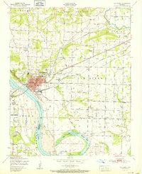
 1947 Van Buren1954 Print · USGSCovers Van Buren Historic District, including Fort Smith, Van Buren, and other nearby areas
 - 1947 Map of Van Buren, 1969 Print
 1947 Van Buren1969 Print · USGSCovers Van Buren Historic District, including Fort Smith, Van Buren, and other nearby areas3 unique versions available
 - 1951 Map of Van Buren
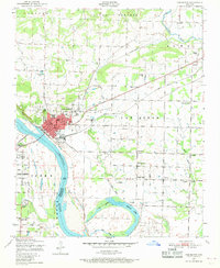
 1951 Van Buren1951 Print · USGSCovers Van Buren Historic District, including Fort Smith, Van Buren, and other nearby areas2 unique versions available
 - 1965 Map of Fort Smith
 1965 Fort Smith1965 Print · USGSCovers Van Buren Historic District, including Tulsa, Fayetteville, and other nearby areas
 - 1967 Map of Fort Smith
 1967 Fort Smith1967 Print · USGSCovers Van Buren Historic District, including Tulsa, Fayetteville, and other nearby areas
 - 1976 Map of Van Buren, 1978 Print
 1976 Van Buren1978 Print · USGSCovers Van Buren Historic District, including Fort Smith, Van Buren, and other nearby areas2 unique versions available
 - 1978 Map of Fort Smith, 1979 Print
 1978 Fort Smith1979 Print · USGSCovers Van Buren Historic District, including Tulsa, Fayetteville, and other nearby areas2 unique versions available
 - 1978 Map of Fort Smith, 1979 Print
 1978 Fort Smith1979 Print · USGSCovers Van Buren Historic District, including Fort Smith, Van Buren, and other nearby areas2 unique versions available
 - 1987 Map of Van Buren, 1988 Print
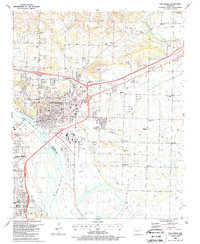 1987 Van Buren1988 Print · USGSCovers Van Buren Historic District, including Fort Smith, Van Buren, and other nearby areas2 unique versions available
 - 1997 Map of Van Buren, 1999 Print
 1997 Van Buren1999 Print · USGSCovers Van Buren Historic District, including Fort Smith, Van Buren, and other nearby areas
 - 2024 Map of Van Buren, 2024 Print
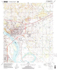
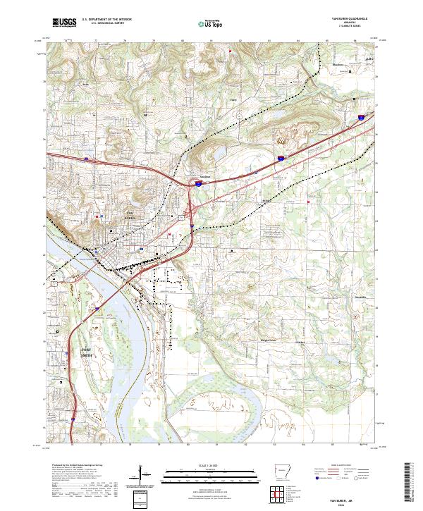 2024 Van Buren2024 Print · USGSCovers Van Buren Historic District, including Fort Smith, Van Buren, and other nearby areas
End of results
Showing maps 1-16 of 16
Frequently asked questions
- What are the different types of historical maps available for Van Buren Historic District?
- What is the oldest map of Van Buren Historic District?
- Where can I purchase historical maps of Van Buren Historic District for my home or office?
- Where can I download high-res historical maps of Van Buren Historic District?
- Are there historical topographic maps available for Van Buren Historic District?
- Is there historical aerial imagery available for Van Buren Historic District?
- Where are historical maps of Van Buren Historic District sourced from?