Old Maps of Centerville, Arkansas for Metal Detecting
Plan your next treasure hunt with 14 historic maps of Centerville. Find old homesites, ghost towns, trails, and gathering spots that may be lost to time — perfect for identifying promising metal detecting locations.
- Locate forgotten sites: Uncover places like long-lost settlements, abandoned rail lines, or gathering spots.
- Plan better hunts: Use map overlays combined with LiDAR or satellite views to narrow in on historically rich areas.
- Made for detectorists: Thousands of hobbyists use these maps to discover relics, coins, and hidden history.
Use these historic maps to boost your research and find new opportunities beneath the surface of Centerville.
Centerville, AR maps
(14)- 1956 Map of Russellville
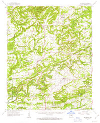
 1956 Russellville1956 Print · USGSThe Arkansas River valley and the surrounding Boston Mountains are captured here in the mid-fifties, showing a landscape of small timber towns and new reservoirs. Genealogists can trace family roots through upland settlements like Pelsor and Witts Springs or locate the campus of Arkansas Polytechnic College.2 unique versions available
 - 1961 Map of Bee Branch, 1963 Print
 1961 Bee Branch1963 Print · USGSCentral Arkansas settlements and highland ridges are mapped in the early sixties, showing the rural network of the Van Buren and Faulkner county lines. Researchers can find numerous family landmarks such as Quattlebaum Cem, Pinnacle Springs Tabernacle, and the Solomon Grove Sch.2 unique versions available
 - 1961 Map of Guy, 1966 Print
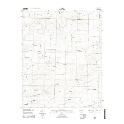
 1961 Guy1966 Print · USGSThe hills and valleys of Faulkner County are captured here in the early sixties as rural life centered around the town of Guy. Researchers can locate family landmarks like the Copperas Springs Cem, New Home Sch, and Bennett Lake.2 unique versions available
 - 1964 Map of Russellville
 1964 Russellville1964 Print · USGSMid-century Central Arkansas is defined here by the river-valley towns and the surrounding mountain ranges before the full expansion of the interstate system. Genealogists and historians can trace rail-town development along the Missouri Pacific Railroad and locate landmarks like Arkansas Polytechnic College or Petit Jean State Park.
 - 1977 Map of Russellville
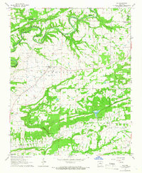
 1977 Russellville1977 Print · USGSThe Arkansas River Valley and surrounding Ozark Mountains are documented here during a period of significant postwar growth and infrastructure development. Genealogists and researchers can locate family landmarks such as Mount Carmel Cem, St Josephs Church, and several remote Coal Mine sites along the Missouri Pacific RR line.
 - 1983 Map of Conway, 1984 Print
 1983 Conway1984 Print · USGSThe Arkansas River valley in the early eighties shows a landscape of river-bend settlements and expanding wildlife areas. Genealogists and historians can trace the Missouri Pacific RR through old river towns like Toad Suck, Morrilton, and Menifee.
 - 1984 Map of Russellville
 1984 Russellville1984 Print · USGSThe Arkansas River valley was undergoing significant change in the 1950s as transportation and water management reshaped the region from Russellville to Conway. Researchers can trace the era's rail networks like the Missouri Pacific RR and explore landmarks like Magazine Mountain and Petit Jean State Park.
 - 1992 Map of Russellville, 1993 Print
 1992 Russellville1993 Print · USGSCentral Arkansas in the early nineties shows a landscape defined by the Arkansas River valley and the surrounding national forests. Trace the development of river towns like Russellville and Dardanelle alongside landmarks such as Lake Dardanelle and Magazine Mtn.
 - 1994 Map of Guy
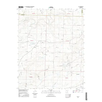
 1994 Guy1994 Print · USGSThe northern reaches of Faulkner County are shown here in the mid-1990s, centering on the small community of Guy. Genealogists and local historians can trace family roots through several legacy sites like Copperas Springs Cem, G W Perkins School, and New Home Ch.
 - 2011 Map of Guy, 2011 Print
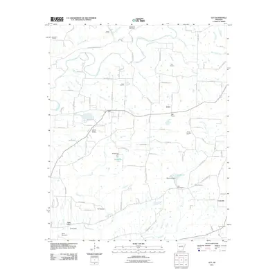 2011 Guy2011 Print · USGSCovers Centerville, including Greenbrier, Guy, and other nearby areas
 - 2014 Map of Guy, 2014 Print
 2014 Guy2014 Print · USGSCovers Centerville, including Greenbrier, Guy, and other nearby areas
 - 2017 Map of Guy, 2017 Print
 2017 Guy2017 Print · USGSCovers Centerville, including Greenbrier, Guy, and other nearby areas
 - 2020 Map of Guy, 2020 Print
 2020 Guy2020 Print · USGSCovers Centerville, including Greenbrier, Guy, and other nearby areas
 - 2024 Map of Guy, 2024 Print
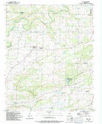
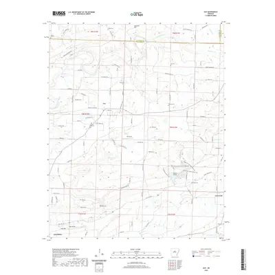
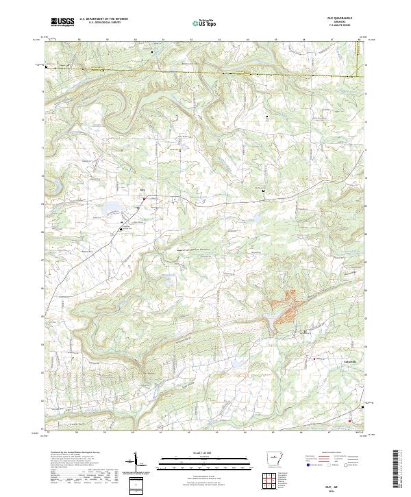 2024 Guy2024 Print · USGSThe rural landscapes of northern Faulkner County come into focus here during the mid-2020s, centered on the community of Guy. Researchers can locate several historic burial sites like Old Texas Cem and King Cem or trace the winding course of Cadron Creek.
End of results
Showing maps 1-14 of 14
Top cities near Centerville
- Conway historical maps
- Heber Springs historical maps
- Greenbrier historical maps
- Vilonia historical maps
- Wooster historical maps
- Quitman historical maps
See more
Frequently asked questions
- What are the different types of historical maps available for Centerville?
- What is the oldest map of Centerville?
- Where can I purchase historical maps of Centerville for my home or office?
- Where can I download high-res historical maps of Centerville?
- Are there historical topographic maps available for Centerville?
- Is there historical aerial imagery available for Centerville?
- Where are historical maps of Centerville sourced from?