Old Maps of Lee County, Arkansas
Explore 54 old maps of Lee County, spanning from 1931 to today. These high-resolution historic maps reveal how streets, neighborhoods, landmarks, and natural features evolved over time — perfect for genealogy, metal detecting, research, and local history exploration.
What you can do with these maps:
- See how Lee County changed over time: Compare historical maps to modern-day views to trace roads, homesites, rail lines & more.
- View detailed metadata: Each map includes creators, publishers, year, scale, and archive source.
- Overlay maps with satellite & LiDAR: Visualize the past alongside modern tools to explore terrain & human change.
- Trusted historical sources: Maps sourced from the USGS, Library of Congress, and other archives.
- Access maps your way: View online, download high-res files, or order prints for personal or research use.
Start exploring old maps of Lee County to uncover forgotten places, hidden landmarks, and the deep history beneath your feet.
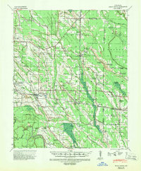
Lee County, AR maps
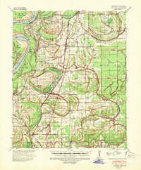
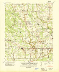
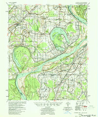
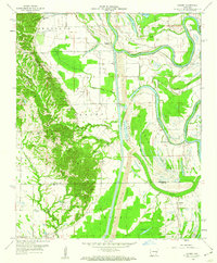
(54)- 1931 Map of Horseshoe Lake
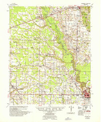
 1931 Horseshoe Lake1931 Print · USGSCovers Lee County, including Memphis, Hughes, and other nearby areas
 - 1939 Map of Clayton, 1941 Print
 1939 Clayton1941 Print · USGSCovers Lee County, including Tunica, Tunica North, and other nearby areas2 unique versions available
 - 1939 Map of Horseshoe Lake, 1941 Print
 1939 Horseshoe Lake1941 Print · USGSCovers Lee County, including Memphis, Hughes, and other nearby areas2 unique versions available
 - 1939 Map of Park Place, 1941 Print
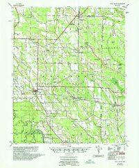
 1939 Park Place1941 Print · USGSCovers Lee County, including Marianna, Kokomo, and other nearby areas2 unique versions available
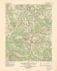
 - 1939 Map of Latour, 1944 Print
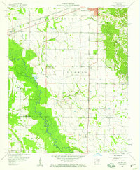
 1939 Latour1944 Print · USGSCovers Lee County, including Helena-West Helena, Lexa, and other nearby areas2 unique versions available
 - 1940 Map of Marvell, 1942 Print
 1940 Marvell1942 Print · USGSCovers Lee County, including Marvell, Lexa, and other nearby areas
 - 1940 Map of Holly Grove, 1942 Print
 1940 Holly Grove1942 Print · USGSCovers Lee County, including Holly Grove, Postelle, and other nearby areas2 unique versions available
 - 1940 Map of Brinkley, 1942 Print
 1940 Brinkley1942 Print · USGSCovers Lee County, including Brinkley, Cotton Plant, and other nearby areas3 unique versions available
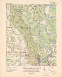
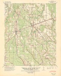
 - 1940 Map of Marianna, 1942 Print
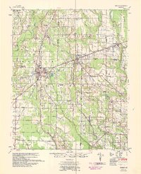
 1940 Marianna1942 Print · USGSCovers Lee County, including Forrest City, Marianna, and other nearby areas2 unique versions available
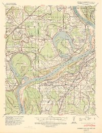
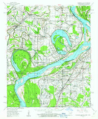
 - 1948 Map of Helena
 1948 Helena1948 Print · USGSCovers Lee County, including Memphis, Southaven, and other nearby areas
 - 1950 Map of Helena
 1950 Helena1950 Print · USGSCovers Lee County, including Memphis, Southaven, and other nearby areas2 unique versions available
 - 1954 Map of Horseshoe Lake
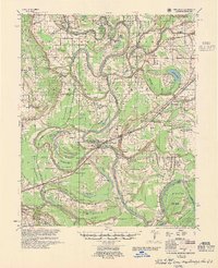
 1954 Horseshoe Lake1954 Print · USGSCovers Lee County, including Memphis, Hughes, and other nearby areas2 unique versions available
 - 1955 Map of Clayton
 1955 Clayton1955 Print · USGSCovers Lee County, including Tunica, Tunica North, and other nearby areas2 unique versions available
 - 1955 Map of Park Place
 1955 Park Place1955 Print · USGSCovers Lee County, including Marianna, Kokomo, and other nearby areas2 unique versions available
 - 1955 Map of Latour
 1955 Latour1955 Print · USGSCovers Lee County, including Helena-West Helena, Lexa, and other nearby areas
 - 1955 Map of Helena, 1967 Print
 1955 Helena1967 Print · USGSCovers Lee County, including Memphis, Southaven, and other nearby areas2 unique versions available
 - 1956 Map of Marvell, 1957 Print
 1956 Marvell1957 Print · USGSCovers Lee County, including Marvell, Lexa, and other nearby areas
 - 1957 Map of Marianna
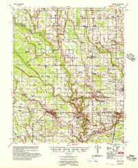
 1957 Marianna1957 Print · USGSCovers Lee County, including Forrest City, Marianna, and other nearby areas2 unique versions available
 - 1957 Map of Holly Grove
 1957 Holly Grove1957 Print · USGSCovers Lee County, including Holly Grove, Postelle, and other nearby areas
 - 1958 Map of Haynes, 1959 Print
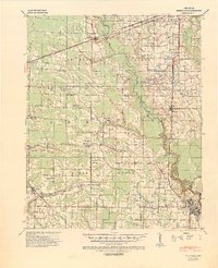
 1958 Haynes1959 Print · USGSCovers Lee County, including Forrest City, Haynes, and other nearby areas3 unique versions available
 - 1958 Map of Brinkley, 1959 Print
 1958 Brinkley1959 Print · USGSCovers Lee County, including Brinkley, Cotton Plant, and other nearby areas2 unique versions available
 - 1959 Map of Helena
 1959 Helena1959 Print · USGSCovers Lee County, including Memphis, Southaven, and other nearby areas
 - 1959 Map of Dansby, 1960 Print
 1959 Dansby1960 Print · USGSCovers Lee County, including Dansby, Riverside, and other nearby areas4 unique versions available
 - 1960 Map of Helena
 1960 Helena1960 Print · USGSCovers Lee County, including Memphis, Southaven, and other nearby areas
 - 1960 Map of Horseshoe Lake, 1963 Print
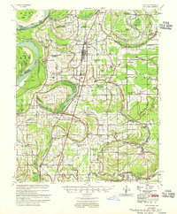
 1960 Horseshoe Lake1963 Print · USGSCovers Lee County, including Memphis, Hughes, and other nearby areas2 unique versions available
Showing maps 1-25 of 54
Top cities of Lee County
- Marianna historical maps
- Moro historical maps
- Rondo historical maps
- Haynes historical maps
- Aubrey historical maps
- LaGrange historical maps
Frequently asked questions
- What are the different types of historical maps available for Lee County?
- What is the oldest map of Lee County?
- Where can I purchase historical maps of Lee County for my home or office?
- Where can I download high-res historical maps of Lee County?
- Are there historical topographic maps available for Lee County?
- Is there historical aerial imagery available for Lee County?
- Where are historical maps of Lee County sourced from?