2020s Maps of Leachville, Arkansas
Explore 6 historic maps of Leachville from the 2020s. These maps offer a rare glimpse into what life looked like during the 2020s — showing old roads, neighborhoods, homes, and landmarks that have changed or disappeared over time.
Whether you're researching your family's past, planning a metal detecting trip, or studying how Leachville's landscape evolved across the 2020s, these high-resolution maps are a powerful tool for exploring the history of this region.
- Focus on a specific era: All maps on this page are from the 2020s, giving you a focused view of this time period.
- See what’s changed: Compare century-old streets, trails, and buildings to today's modern landscape using overlays and satellite layers.
- Research with precision: Use these maps for genealogy, historical research, land use analysis, or educational projects.
- View, download, or print: Maps are fully viewable online in high resolution, and can be downloaded or printed for your own records.
Start exploring Leachville's history through authentic maps from the 2020s. This is your window into the past.
Leachville, AR maps
(6)- 2020 Map of Leachville, 2020 Print
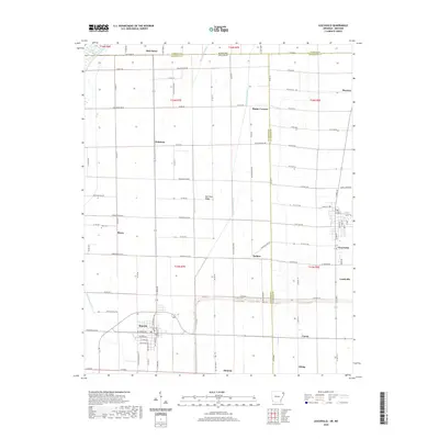 2020 Leachville2020 Print · USGSCovers Leachville, including Monette, Childress, and other nearby areas
 - 2020 Map of Caraway, 2020 Print
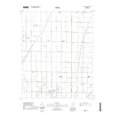 2020 Caraway2020 Print · USGSCovers Leachville, including Caraway, Black Oak, and other nearby areas
 - 2020 Map of Manila North, 2020 Print
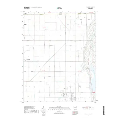 2020 Manila North2020 Print · USGSCovers Leachville, including Manila, Boynton, and other nearby areas
 - 2024 Map of Caraway, 2024 Print
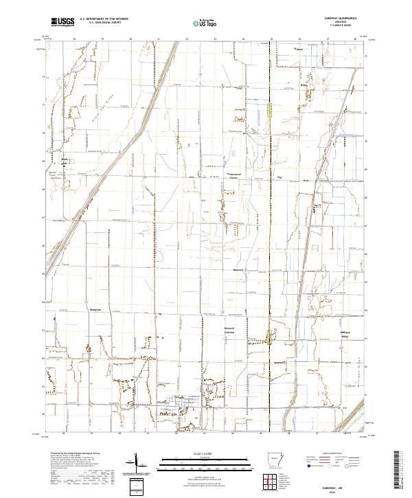 2024 Caraway2024 Print · USGSThe border of Craighead and Mississippi counties is revealed here as a managed landscape of drainage ditches and ridges. Genealogists can locate Caraway Cem and Caraway Schools, or trace old crossroads like Cottonwood Corner and Vail.
 - 2024 Map of Leachville, 2024 Print
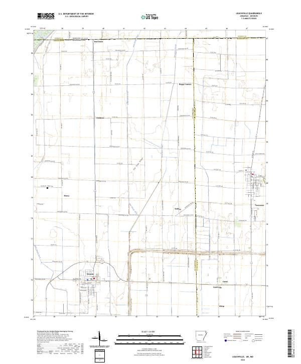 2024 Leachville2024 Print · USGSNortheast Arkansas agricultural life is documented here in the early twenty-first century, showing the grid of county roads and drainage ditches between Leachville and Monette. Researchers can trace local lineages through the Macy Cem or locate rural landmarks like Happy Corners and Red Onion.
 - 2024 Map of Manila North, 2024 Print
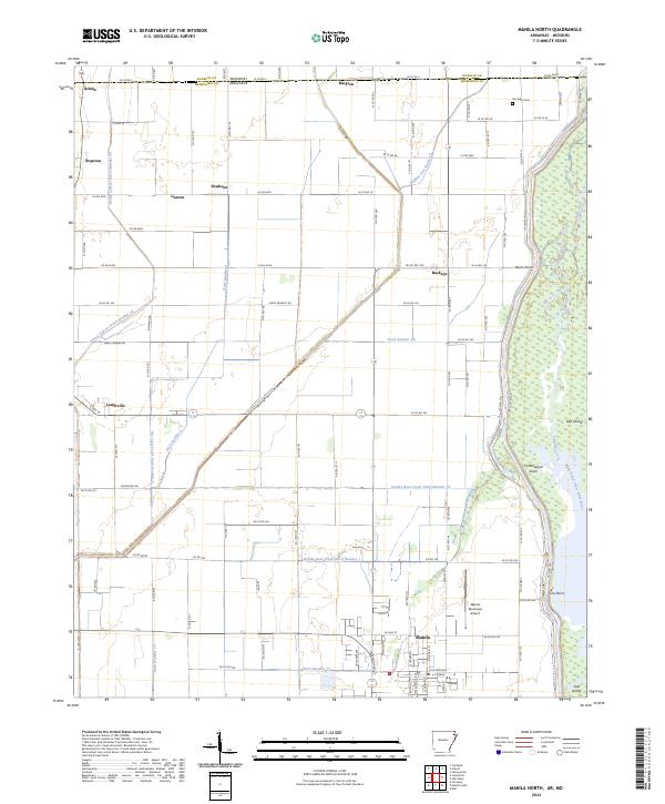 2024 Manila North2024 Print · USGSThe Missouri-Arkansas border region is shown here as a highly developed agricultural delta defined by its complex drainage network and wildlife preserves. Genealogists and researchers can trace rural life across the state line near Arkmo, Box Elder Cem, and the town of Manila.
End of results
Showing maps 1-6 of 6
Top cities near Leachville
- Paragould historical maps
- Osceola historical maps
- Manila historical maps
- Lake City historical maps
- Senath historical maps
- Monette historical maps
See more
Top neighborhoods of Leachville
Frequently asked questions
- What are the different types of historical maps available for Leachville?
- What is the oldest map of Leachville?
- Where can I purchase historical maps of Leachville for my home or office?
- Where can I download high-res historical maps of Leachville?
- Are there historical topographic maps available for Leachville?
- Is there historical aerial imagery available for Leachville?
- Where are historical maps of Leachville sourced from?